MyTopo
Classic USGS Haystack Buttes North Wyoming 7.5'x7.5' Topo Map
Couldn't load pickup availability
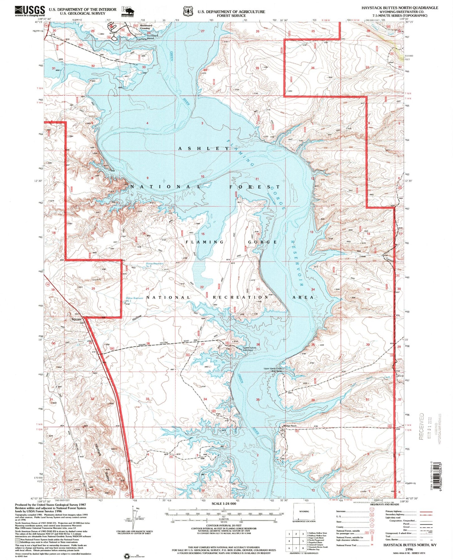
Historical USGS topographic quad map of Haystack Buttes North in the state of Wyoming. Map scale may vary for some years, but is generally around 1:24,000. Print size is approximately 24" x 27"
This quadrangle is in the following counties: Sweetwater.
The map contains contour lines, roads, rivers, towns, and lakes. Printed on high-quality waterproof paper with UV fade-resistant inks, and shipped rolled.
Contains the following named places: Big Bend, Blaine Reservoir Number One, Blaine Reservoir Number Two, Briggs Dam, Brinegar Ferry, Brinegar Ranch, Buckboard Crossing, Buckboard Reservoir, Buckboard Wash, Flaming Gorge National Recreation Area, Haystack Buttes, Holmes Crossing Recreation Site, Lowe Canyon, Squaw Hollow, Upper Marsh Creek, Upper Marsh Creek Boat Ramp, Upper Marsh Creek Recreation Site