MyTopo
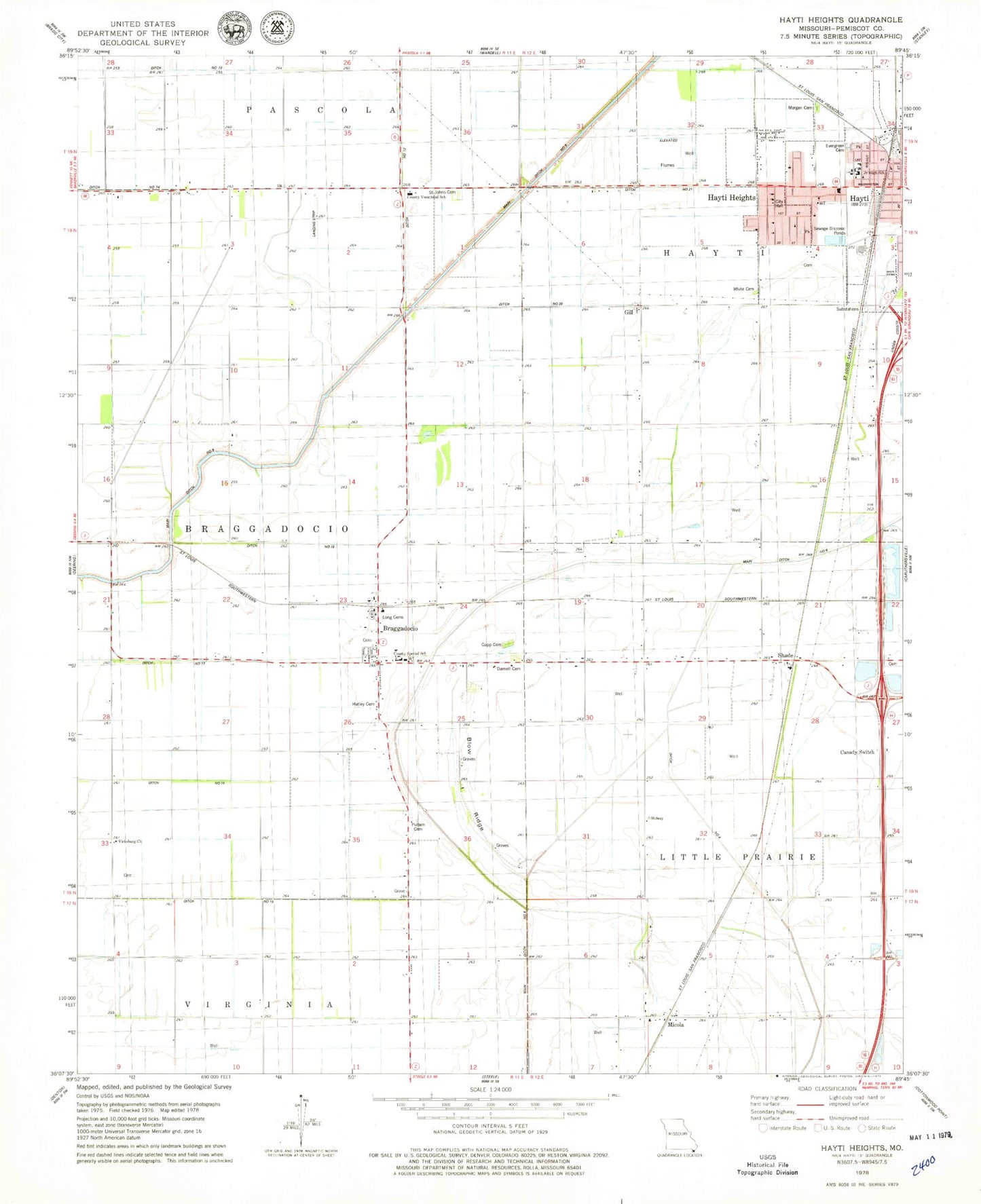
Classic USGS Hayti Heights Missouri 7.5'x7.5' Topo Map
Couldn't load pickup availability
Historical USGS topographic quad map of Hayti Heights in the state of Missouri. Map scale may vary for some years, but is generally around 1:24,000. Print size is approximately 24" x 27"
This quadrangle is in the following counties: Pemiscot.
The map contains contour lines, roads, rivers, towns, and lakes. Printed on high-quality waterproof paper with UV fade-resistant inks, and shipped rolled.
Contains the following named places: Blazer, Blow Ridge, Braggadocio, Braggadocio Post Office, Braggadocio School, Cagle Cemetery, Canaday Switch School, Canady Switch, City of Hayti Heights, Culp Cemetery, Darnell Cemetery, Ditch Number 12, Ditch Number 15, Ditch Number 18, Ditch Number 20, Ditch Number 21, Ditch Number 4, Duland, Elk Chute, Erwin, Evergreen Cemetery, Faris, Gill, Grassy Bayou, Hatley Cemetery, Hayti Heights, Hayti Heights Fire Department, Henchley, Kauffman, Littles, Long Cemetery, Main Ditch Number 6, Main Ditch Number 8, Micola, Morgan Cemetery, Pemiscot County, Pemiscot County Farm, Pemiscot County Special School, Pemiscot County Vocational School, Pemiscot Memorial Gardens, Pullam Cemetery, Saint Johns Cemetery, Shade, South School, Spear School, Strother, Township of Hayti, Vicksburg, Vicksburg Church, Vicksburg School, White Cemetery, ZIP Code: 63826


