MyTopo
Classic USGS Hayward South Dakota 7.5'x7.5' Topo Map
Regular price
$16.95
Regular price
Sale price
$16.95
Unit price
per
Couldn't load pickup availability
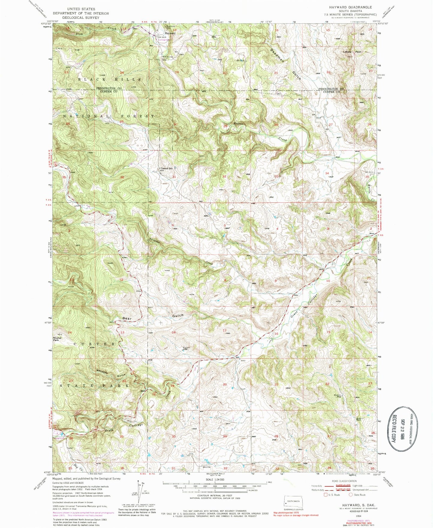
Historical USGS topographic quad map of Hayward in the state of South Dakota. Typical map scale is 1:24,000, but may vary for certain years, if available. Print size: 24" x 27"
This quadrangle is in the following counties: Custer, Pennington.
The map contains contour lines, roads, rivers, towns, and lakes. Printed on high-quality waterproof paper with UV fade-resistant inks, and shipped rolled.
Contains the following named places: Bear Gulch, Central School, Deadman Gulch, Iron Creek, Lakota Peak, Round Park, Spokane Creek, Whiskey Gulch, Rosebud Mine (historical), Wood Tin Mine, Star Lode Mine, Maderposson Mine, Hayward (historical), Hayward Fire Department