MyTopo
Classic USGS Hazel Hurst Pennsylvania 7.5'x7.5' Topo Map
Couldn't load pickup availability
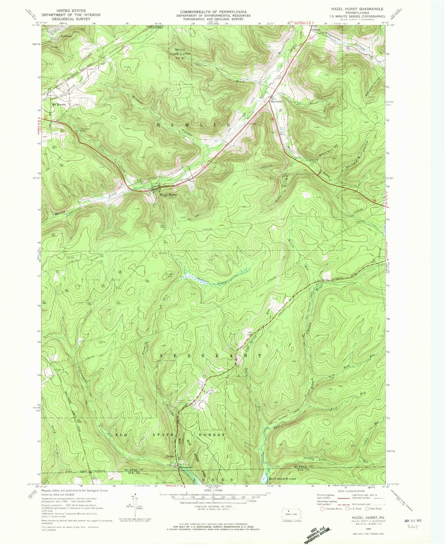
Historical USGS topographic quad map of Hazel Hurst in the state of Pennsylvania. Map scale may vary for some years, but is generally around 1:24,000. Print size is approximately 24" x 27"
This quadrangle is in the following counties: Elk, McKean.
The map contains contour lines, roads, rivers, towns, and lakes. Printed on high-quality waterproof paper with UV fade-resistant inks, and shipped rolled.
Contains the following named places: Bishops Summit, Bloomster Hollow, Boyer Station, Buck Run, Cathrine Swamp, Cold Spring Run, County Line Run, Doe Run, Ginalsburg, Gum Boot Run, Hamlin Township Volunteer Fire Department - Station 20, Hazel Hurst, Hazel Hurst Post Office, Jet Brook, Kane Creek, Kasson, Kasson Cemetery, Kushequa, Martin Run, Marvindale, Peep, Rock Hollow, Sevenmile Run, Shelander Hollow, Shingle Mill Hollow, Slick Hollow, Smith Run, Stanton Brook, State Game Lands Number 62, Stone Dock Hollow, Township of Sergeant, Warner Brook, Wildcat Hollow, Wildcat Run, Williamsville, ZIP Code: 16733