MyTopo
Classic USGS Hazelhurst Illinois 7.5'x7.5' Topo Map
Couldn't load pickup availability
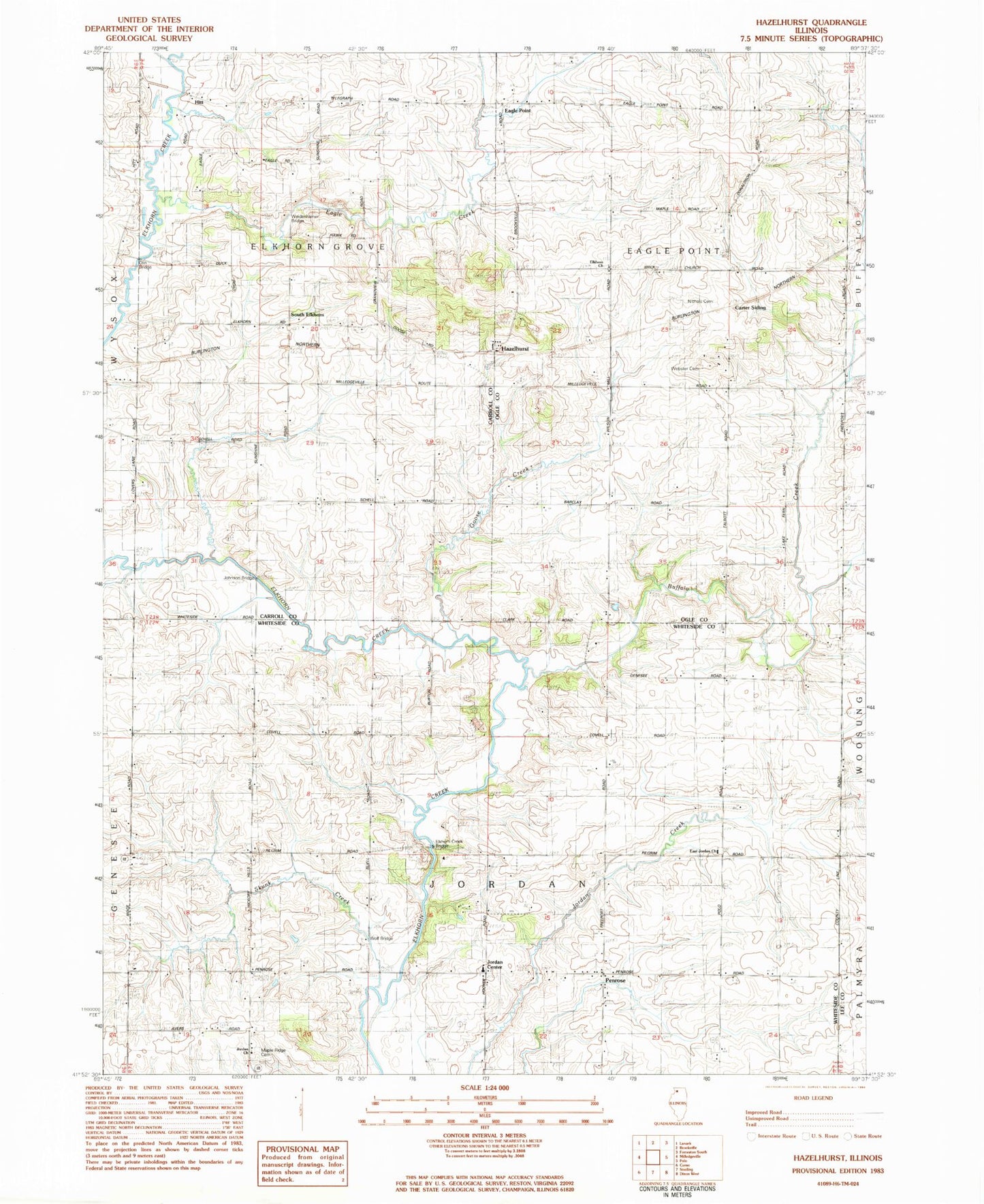
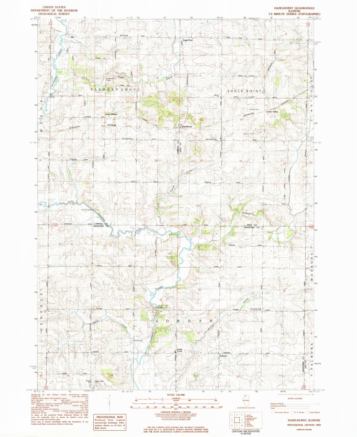
Historical USGS topographic quad map of Hazelhurst in the state of Illinois. Map scale may vary for some years, but is generally around 1:24,000. Print size is approximately 24" x 27"
This quadrangle is in the following counties: Carroll, Lee, Ogle, Whiteside.
The map contains contour lines, roads, rivers, towns, and lakes. Printed on high-quality waterproof paper with UV fade-resistant inks, and shipped rolled.
Contains the following named places: Barcley School, Brick Church Cemetery, Buffalo Creek, Buffalo Creek Farms, Carter Siding, Compton School, Donaldson School, Doty School, Eagle Creek, Eagle Point, Eagle Point Cemetery, East Jordan Cemetery, East Jordan United Methodist Church, Elkhorn Church, Elkhorn Creek Bridge, Eller Quarry, Fairview School, Goose Creek, Gould School, Hazelhurst, Hitt, Hitt School, Johnson Bridge, Jordan Center, Jordan Church, Maple Ridge Cemetery, Nichols Cemetery, Olin Bridge, Paynter School, Penrose, Penrose Friends Cemetery, Sanfordville, Siers Quarry, Skunk Creek, South Elkhorn, South Elkhorn Cemetery, Talbott School, Township of Eagle Point, Township of Elkhorn Grove, Township of Jordan, Webster Cemetery, Weidenhamer Bridge, Wolf Bridge