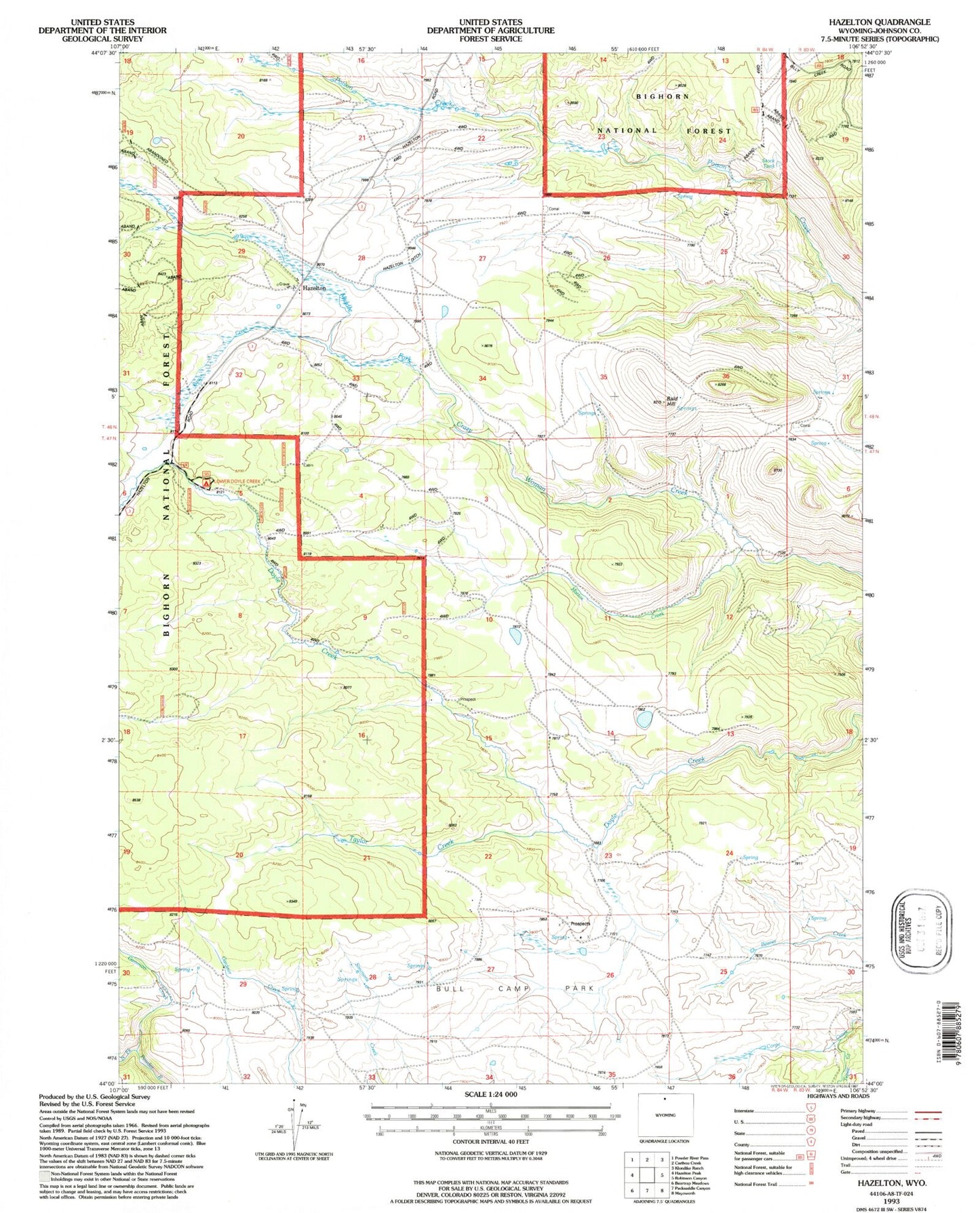
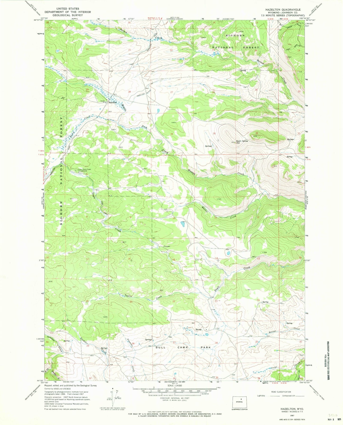
MyTopo
Classic USGS Hazelton Wyoming 7.5'x7.5' Topo Map
Regular price
$16.95
Regular price
Sale price
$16.95
Unit price
per
Couldn't load pickup availability
Historical USGS topographic quad map of Hazelton in the state of Wyoming. Map scale may vary for some years, but is generally around 1:24,000. Print size is approximately 24" x 27"
This quadrangle is in the following counties: Johnson.
The map contains contour lines, roads, rivers, towns, and lakes. Printed on high-quality waterproof paper with UV fade-resistant inks, and shipped rolled.
Contains the following named places: Bald Hill, Basco Creek, Bull Camp Group Mine, Bull Camp Park, Gammon Creek, Hazelton, Hazelton Ditch, Hazelton Post Office, Lower Doyle Creek Campground, Mattox Creek, Taylor Creek, Tepee Creek, Top Hand Group Mine