MyTopo
Classic USGS Hazen Nevada 7.5'x7.5' Topo Map
Regular price
$16.95
Regular price
Sale price
$16.95
Unit price
per
Couldn't load pickup availability
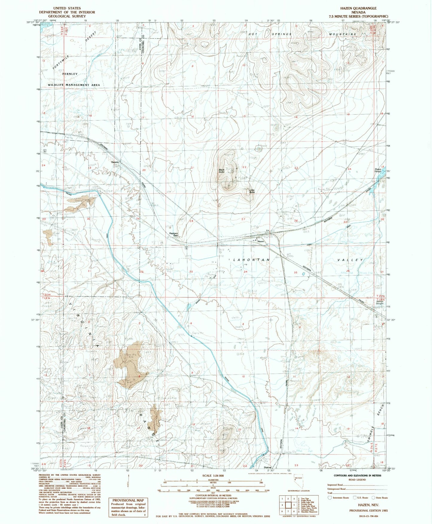
Historical USGS topographic quad map of Hazen in the state of Nevada. Map scale may vary for some years, but is generally around 1:24,000. Print size is approximately 24" x 27"
This quadrangle is in the following counties: Churchill, Lyon.
The map contains contour lines, roads, rivers, towns, and lakes. Printed on high-quality waterproof paper with UV fade-resistant inks, and shipped rolled.
Contains the following named places: Black Butte, Darwin, Diatom, Hazen, Hazen Drain, Hazen Post Office, KX Lateral Canal, Little Butte, Patua Hot Springs, Perkin, Ragtown Pass, Taylor, Twenty-Six-Mile Desert