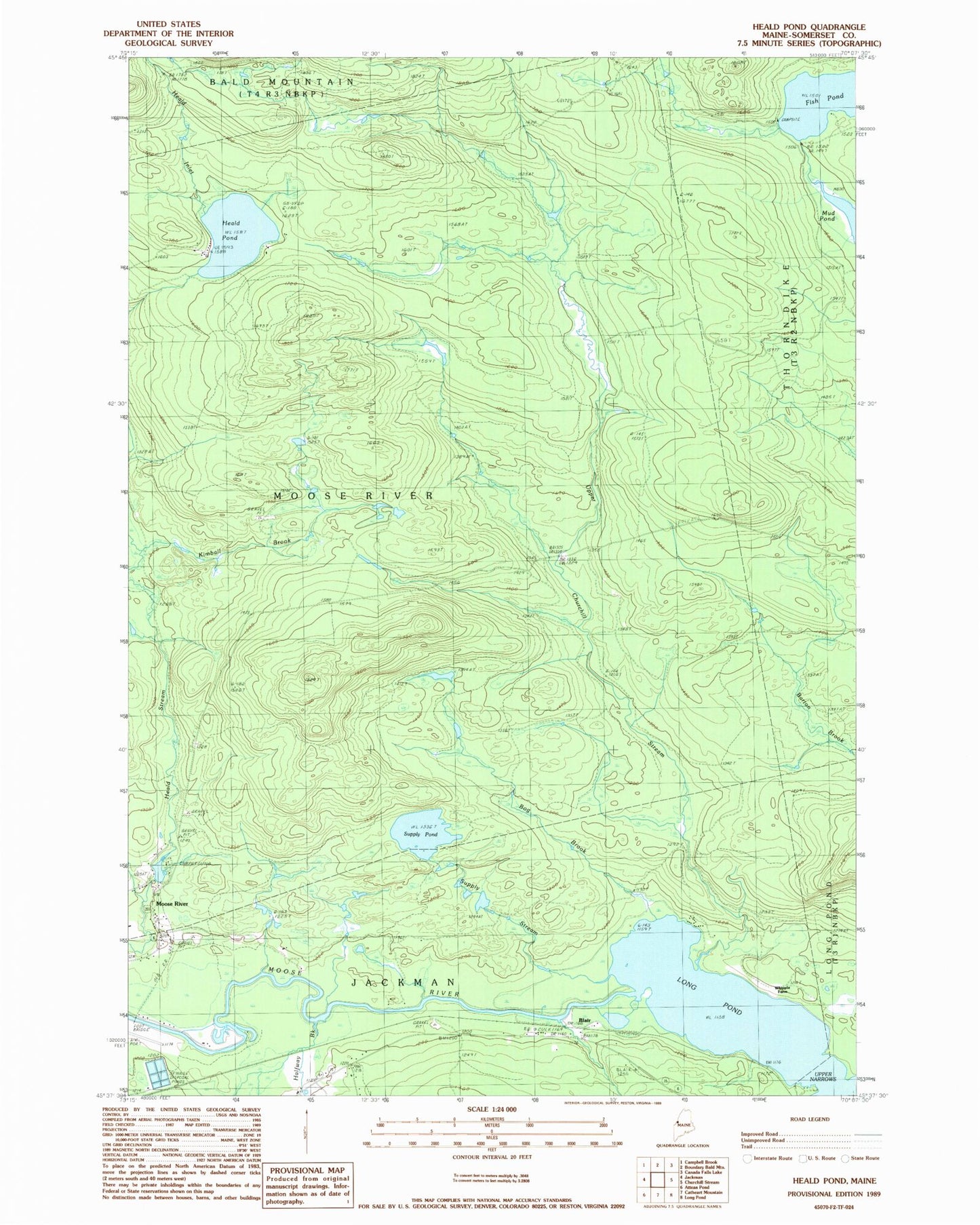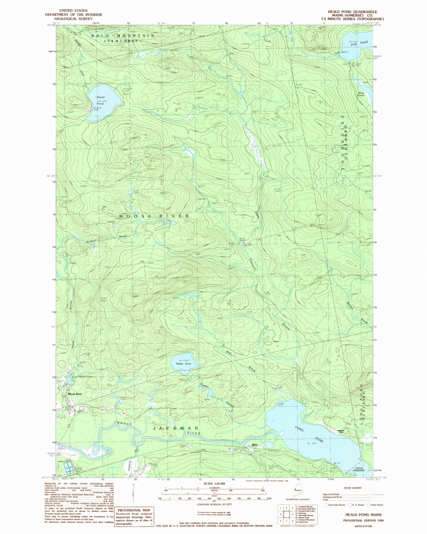

MyTopo
Classic USGS Heald Pond Maine 7.5'x7.5' Topo Map
Couldn't load pickup availability
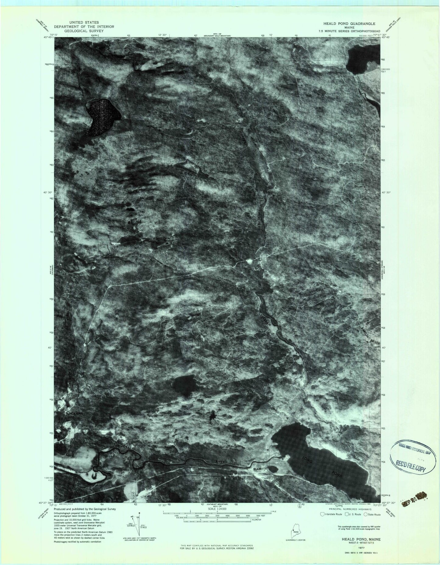
Historical USGS topographic quad map of Heald Pond in the state of Maine. Typical map scale is 1:24,000, but may vary for certain years, if available. Print size: 24" x 27"
This quadrangle is in the following counties: Somerset.
The map contains contour lines, roads, rivers, towns, and lakes. Printed on high-quality waterproof paper with UV fade-resistant inks, and shipped rolled.
Contains the following named places: Alder Brook Trail, Bog Brook, Camp Number Two (historical), Fish Pond, Halfway Brook, Heald Inlet, Heald Pond, Heald Pond Camp (historical), Hughey Camp (historical), Jackman Mill (historical), Kimball Brook, Mud Pond, Supply Pond, Supply Stream, Upper Churchill Stream, Upper Narrows, Whipple Farm, Blair, Town of Moose River, Heald Stream Dam, Moose River Campground