MyTopo
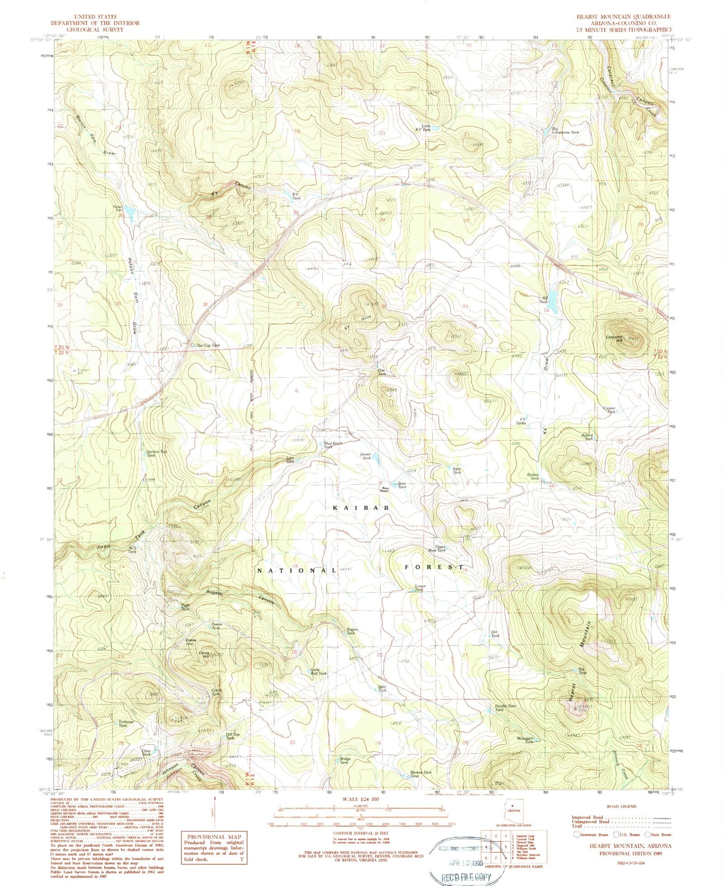
Classic USGS Hearst Mountain Arizona 7.5'x7.5' Topo Map
Couldn't load pickup availability
Historical USGS topographic quad map of Hearst Mountain in the state of Arizona. Typical map scale is 1:24,000, but may vary for certain years, if available. Print size: 24" x 27"
This quadrangle is in the following counties: Coconino.
The map contains contour lines, roads, rivers, towns, and lakes. Printed on high-quality waterproof paper with UV fade-resistant inks, and shipped rolled.
Contains the following named places: Valve House, Broken Dam Tank, Buss Ranch, Button Tank, Cooper Tank, Corva, Corva Hill, Corva Tank, Coxcomb Hill, Crow Tank, Double Dam Tank, FY Ranch (historical), Hearst Mountain, Hill Top Tank, Juan Tank, KY Canyon, KY Hills, KY Tank, Kate Tank, K Four Draw, K Four Ranch (historical), Little KY Tank, Little Rod Tank, Mud Ketch Tank, Orr Tank, Perrin Tank, Polson Dam, Polson Dam Draw, Reeds Winter Camp (historical), Rogers Canyon, Upper Buss Tank, Big Limestone Tank, Buss Tank, Doe Tank, Dude Tank, Eddy Tank, FY Tanks FY Tank, K4 Tank, Peters Tank, Polson Tank, Rogers Tank, SCS Tank, Section Two Tank, Tinhouse Tank, Mountain Tank, Split Tank, Lower Tank, Big Tank, Bridge Tank, Tea Cup Tank, Ryberg Tank, K Four Tank


