MyTopo
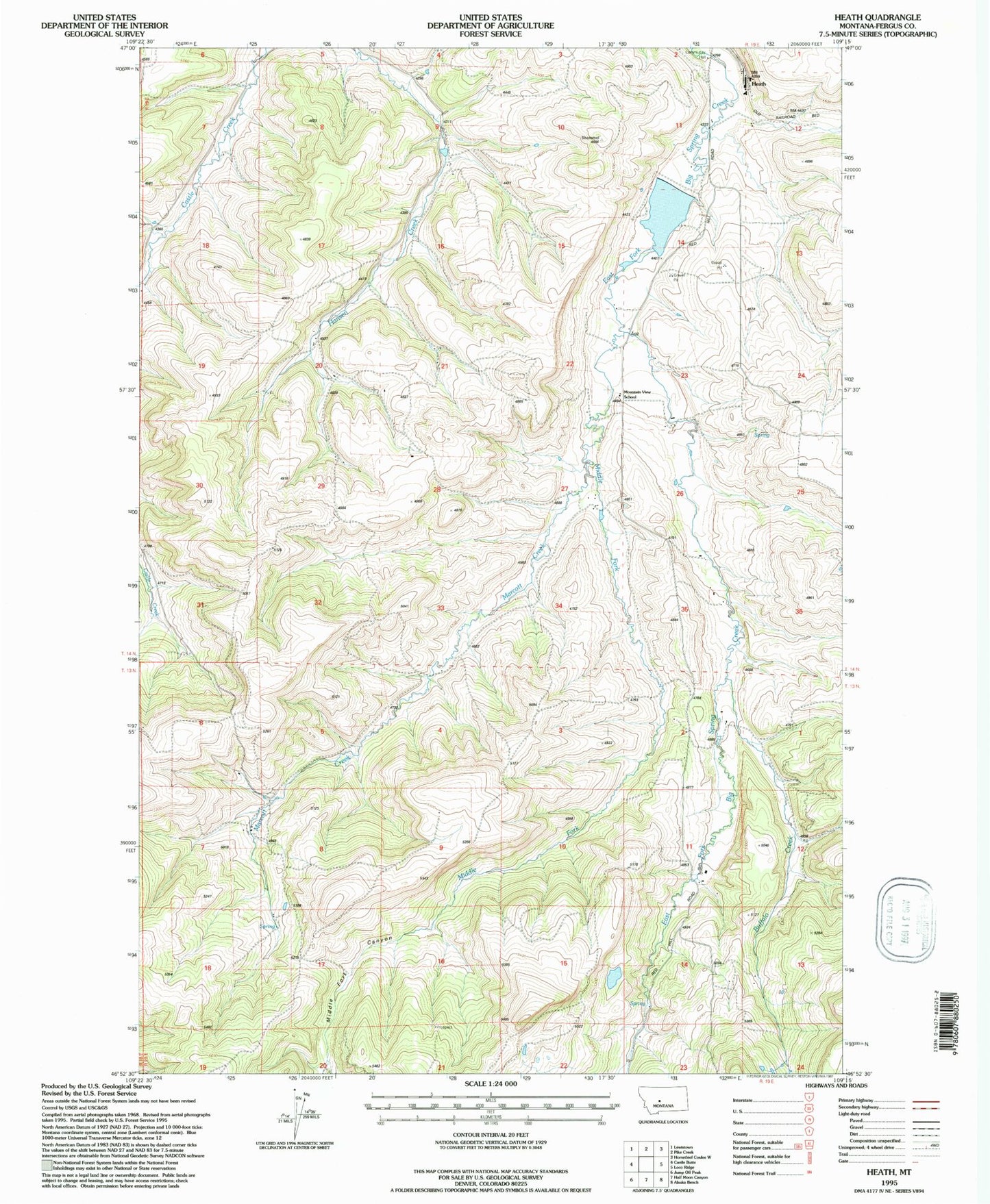
Classic USGS Heath Montana 7.5'x7.5' Topo Map
Couldn't load pickup availability
Historical USGS topographic quad map of Heath in the state of Montana. Map scale may vary for some years, but is generally around 1:24,000. Print size is approximately 24" x 27"
This quadrangle is in the following counties: Fergus.
The map contains contour lines, roads, rivers, towns, and lakes. Printed on high-quality waterproof paper with UV fade-resistant inks, and shipped rolled.
Contains the following named places: 14N19E13CCB_01 Well, 14N19E23BBA_01 Well, 14N19E23CCD_01 Well, Alger Post Office, Bear Paw School, Bowman School, Buffalo Creek, Castle Creek School, East Fork Dam, East Fork Reservoir, Hanson Creek Dam, Heath, Heath Post Office, Heath Rural Fire District, Marcott Creek, Middle Fork Big Spring Creek, Middle Fork Canyon, Mountain View School, Nelson School, Rogers School, Schumachers, Spring Branch