MyTopo
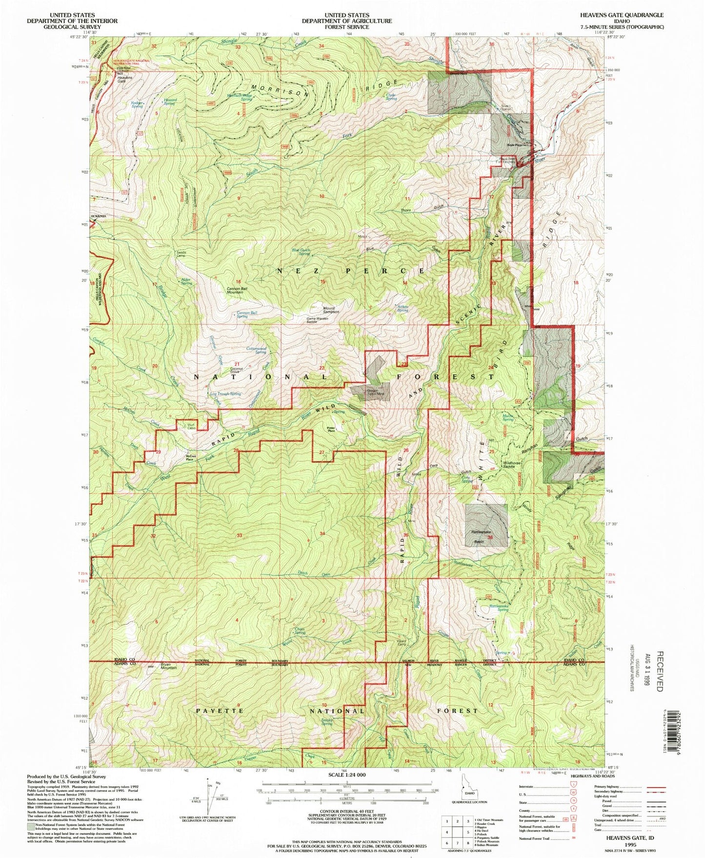
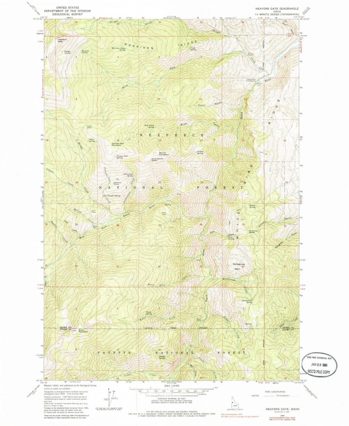
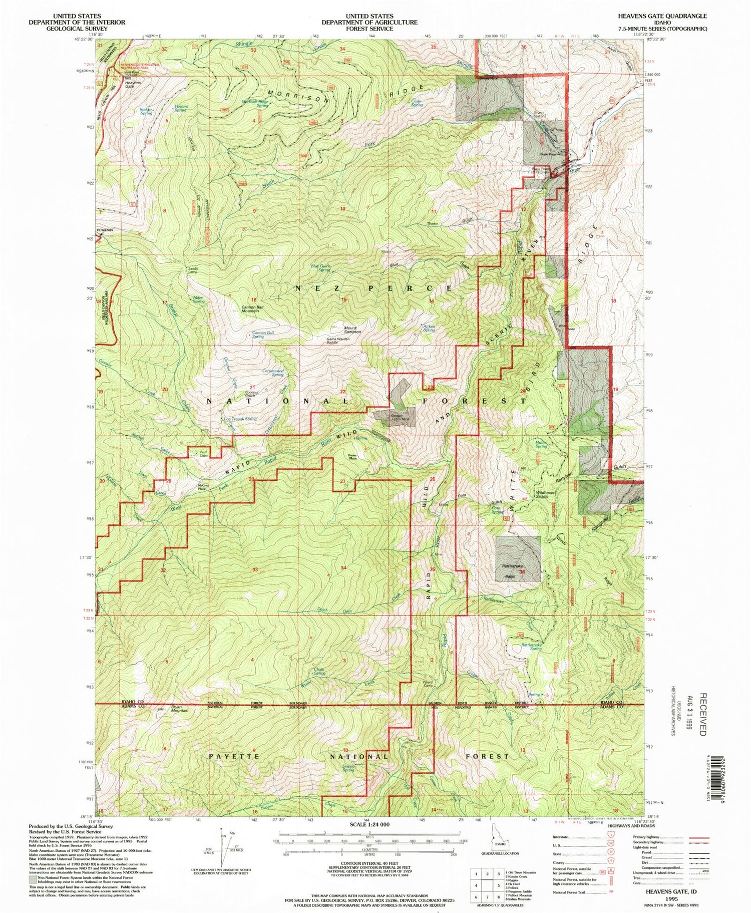
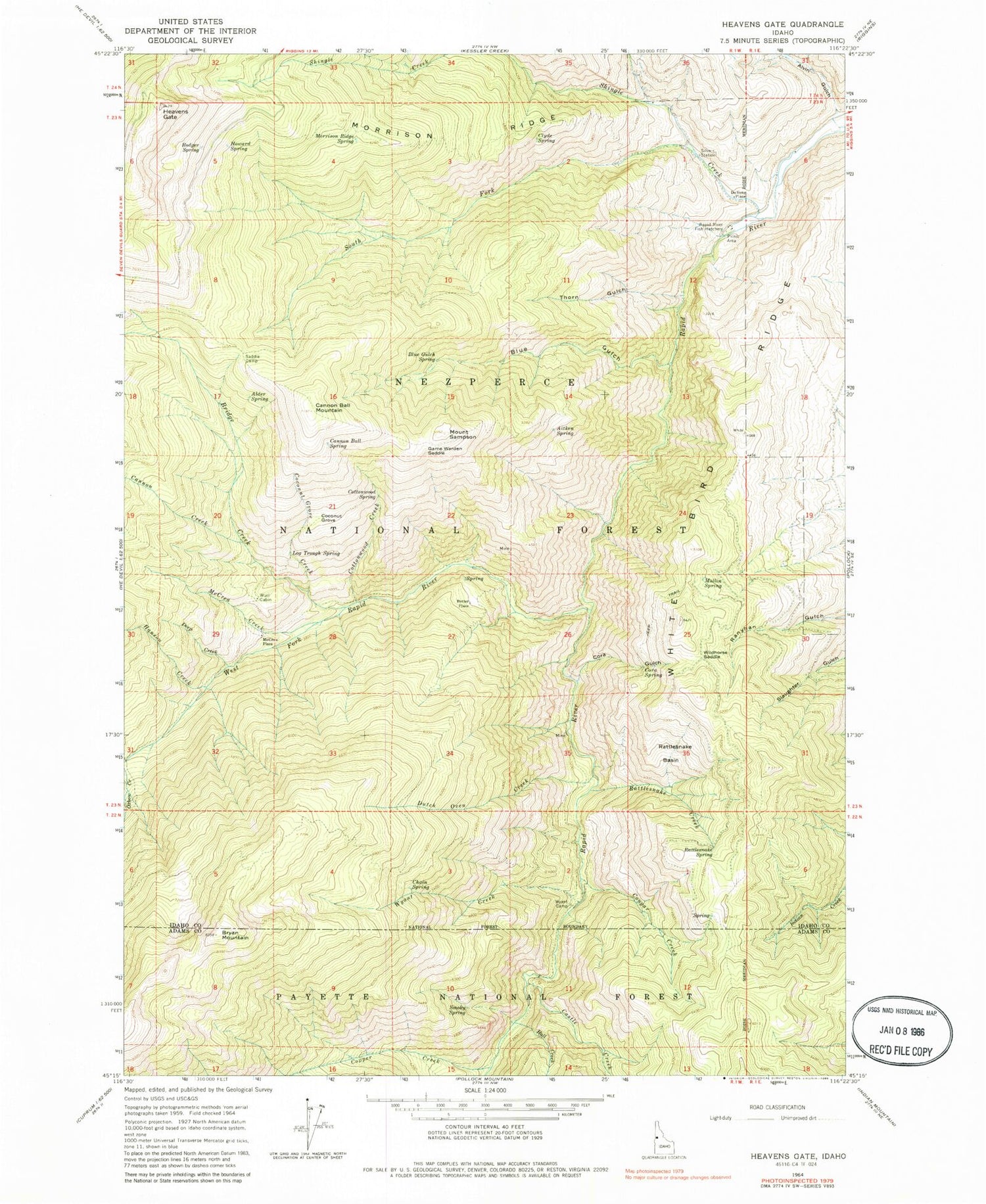
Classic USGS Heavens Gate Idaho 7.5'x7.5' Topo Map
Couldn't load pickup availability
Historical USGS topographic quad map of Heavens Gate in the state of Idaho. Typical map scale is 1:24,000, but may vary for certain years, if available. Print size: 24" x 27"
This quadrangle is in the following counties: Adams, Idaho.
The map contains contour lines, roads, rivers, towns, and lakes. Printed on high-quality waterproof paper with UV fade-resistant inks, and shipped rolled.
Contains the following named places: Aitken Spring, Alder Spring, Alvin Gulch, Blue Gulch, Blue Gulch Spring, Bridge Creek, Bryan Mountain, Cannon Ball Mountain, Cannon Ball Spring, Cannon Creek, Castle Creek, Chain Spring, Clyde Spring, Copper Creek, Cora Gulch, Cora Spring, Cottonwood Creek, Cottonwood Spring, Cougar Creek, Deep Creek, Dutch Oven Creek, Game Warden Saddle, Hall Creek, Hanson Creek, Howard Spring, Log Trough Spring, McCrea Creek, Morrison Ridge, Morrison Ridge Spring, Mullin Spring, Rattlesnake Basin, Rattlesnake Creek, Rodger Spring, Saddle Camp, Mount Sampson, Shingle Creek, Silvers Station, Smoky Spring, South Fork Shingle Creek, Thorn Gulch, White Bird Ridge, Wildhorse Saddle, Wurl Cabin, Wyant Camp, Wyant Creek, Vista Point Lookout, Oregon Tipton Mnine, Coconut Grove, DeVeny Place, Heavens Gate, McCrea Place, Potter Place, Coconut Grove Creek, Rattlesnake Spring, West Fork Rapid River, Rapid River Fish Hatchery, Salmon River Rural Fire District Station 2, Salmon River Rural Fire District Station 3, Windy Ridge


