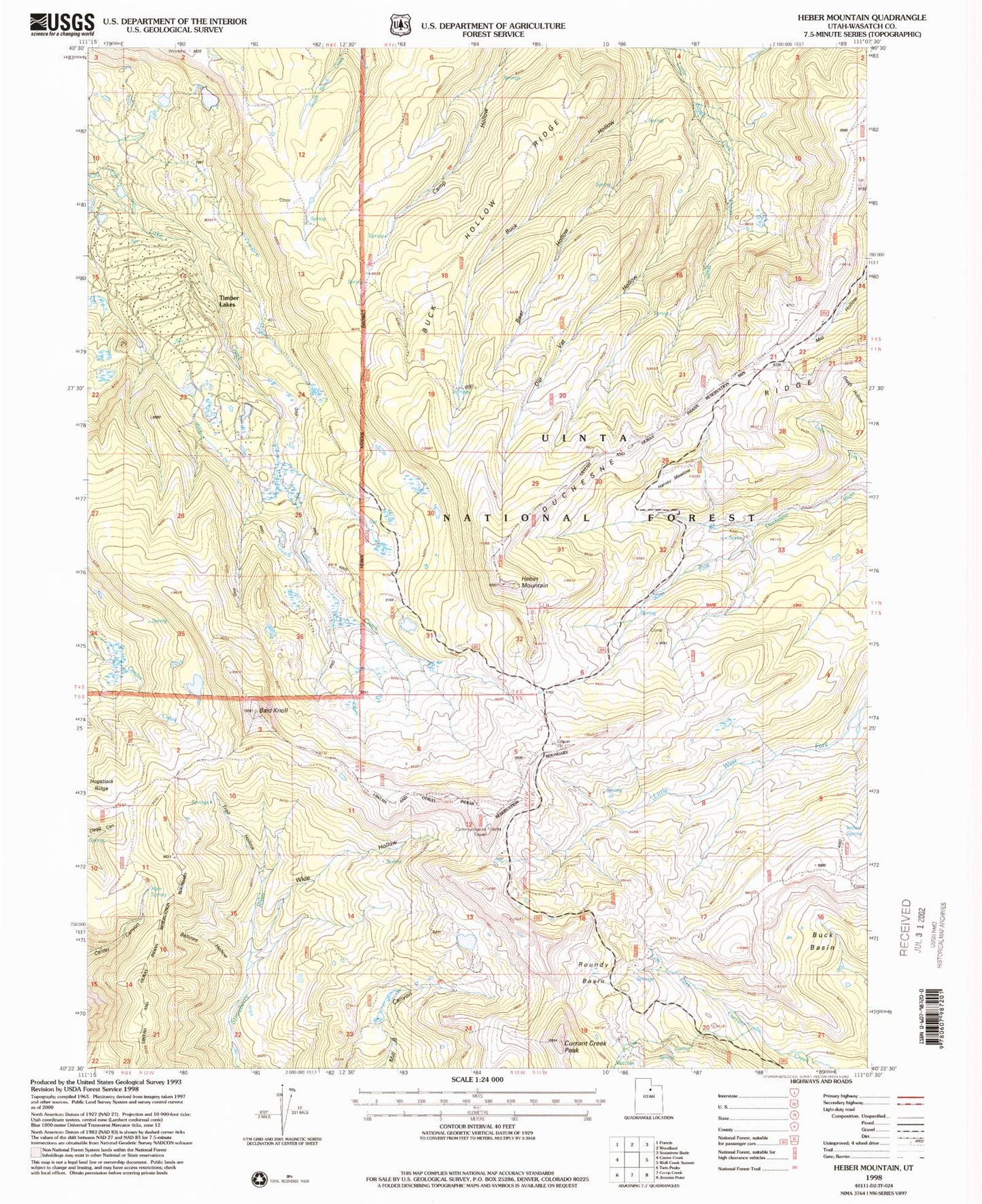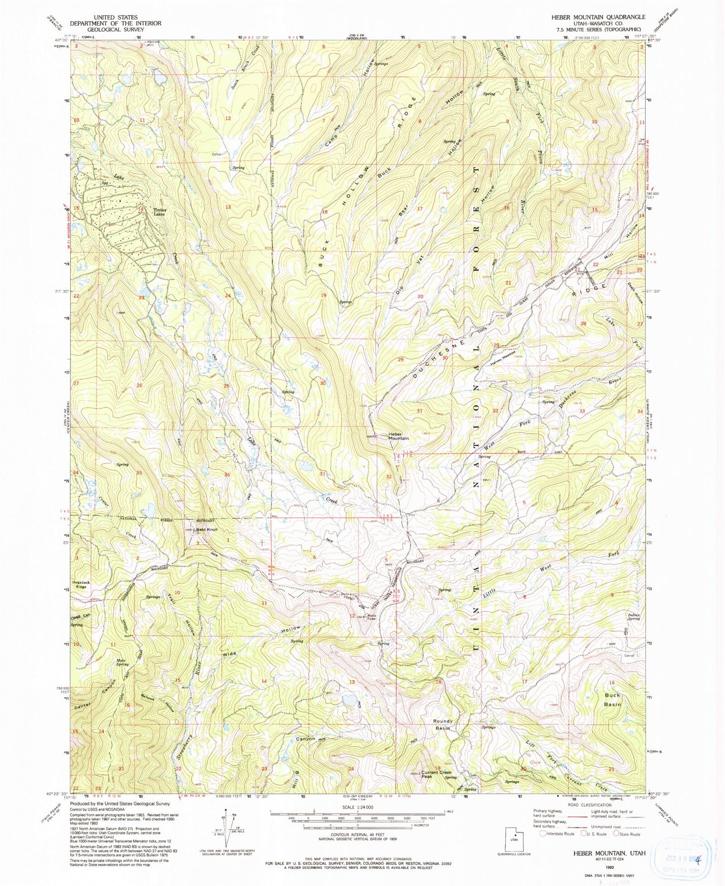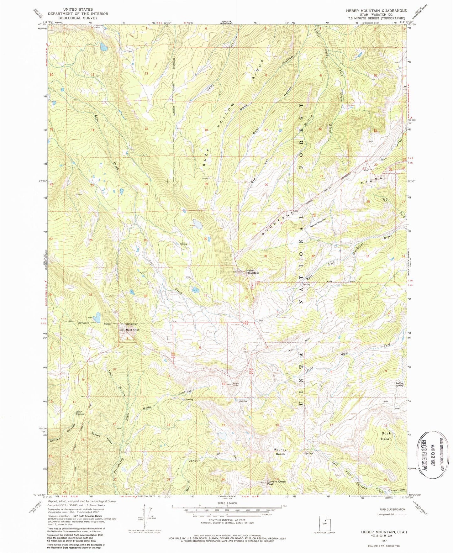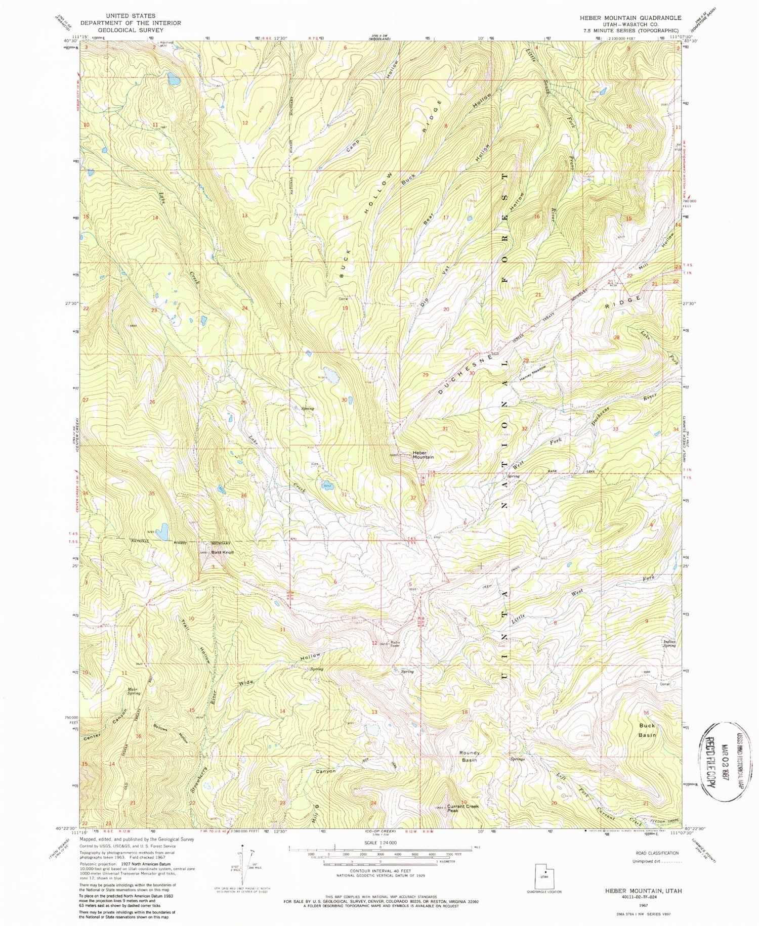
MyTopo
Classic USGS Heber Mountain Utah 7.5'x7.5' Topo Map
Couldn't load pickup availability
Historical USGS topographic quad map of Heber Mountain in the state of Utah. Map scale may vary for some years, but is generally around 1:24,000. Print size is approximately 24" x 27"
This quadrangle is in the following counties: Wasatch.
The map contains contour lines, roads, rivers, towns, and lakes. Printed on high-quality waterproof paper with UV fade-resistant inks, and shipped rolled.
Contains the following named places: Bald Knoll, Bear Hollow, Bellows Hollow, Buck Basin, Buck Hollow Ridge, Center Creek Number Five Dam, Center Creek Number Five Reservoir, Currant Creek Peak, Death Hollow, Dee Mills Dam, Dee Mills Reservoir, Dip Vat Hollow, Duchesne Ridge, Harvey Meadow, Heber Mountain, Hogsback Ridge, Indian Spring, Lake Fork, Mair Spring, Roundy Basin, Timber Lakes, Trail Hollow, Wide Hollow