MyTopo
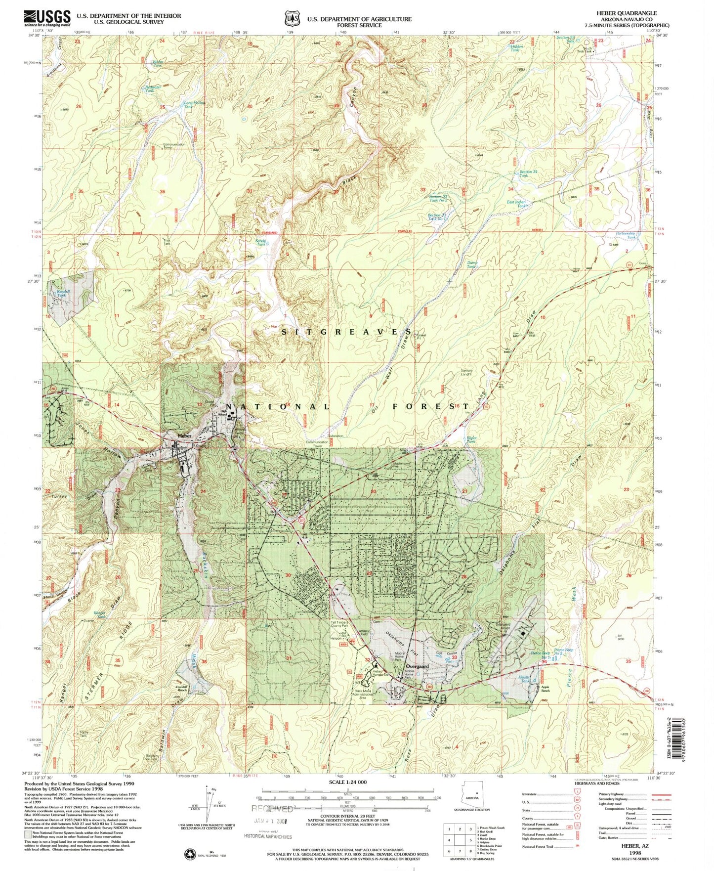
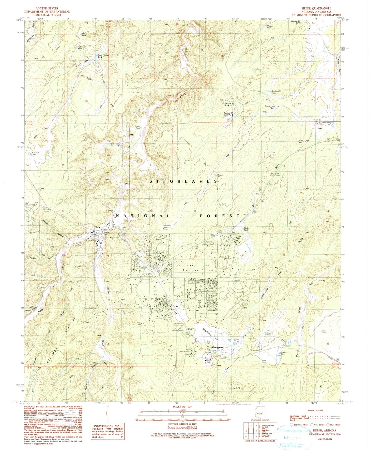
Classic USGS Heber Arizona 7.5'x7.5' Topo Map
Couldn't load pickup availability
Historical USGS topographic quad map of Heber in the state of Arizona. Map scale may vary for some years, but is generally around 1:24,000. Print size is approximately 24" x 27"
This quadrangle is in the following counties: Navajo.
The map contains contour lines, roads, rivers, towns, and lakes. Printed on high-quality waterproof paper with UV fade-resistant inks, and shipped rolled.
Contains the following named places: Apple Ranch, Baldwin Draw, Baldwin Trick Tank, Bigler Tank, Buckskin Wash, Capps Middle School, Chevelon-Heber Ranger Station, Crandall Peak, Crandell Ranch, Dump Tank, East Indian Tank, Faith Lutheran Church, First Southern Baptist Church, Grace Community Fellowship, Heber, Heber - Overgaard Fire District Fire Station, Heber Dump, Heber Post Office, Heber Trick Tank, Heber-Overgaard Census Designated Place, Hewitt Ranch, Hewitt Tank, Hidden Tank, Jones Hollow, Kendall Tank, Long Hollow Tank, Mogollon Airpark, Mogollon Fellowship of Christ, Mogollon High School, Mogollon Junior High School, Mountain Meadows Primary School, Navajo County Sheriff's Office Overgaard, Oil Well Draw, Oklahoma Flat, Our Lady of the Assumption Catholic Church, Overgaard, Overgaard Airport, Overgaard Post Office, Partnership Tank, Pierce Seep, Pierce Seep Number Two, Pine Meadows Country Club, Ranger Draw, Ranger Tank, Redwater Tank, Ross Draw, Sandy Tank, Section 34 Tank, Section Thirty-four Tank, Section Thirty-three Number One Tank, Section Thirty-three Number Two Tank, Section Twentythree Tank, Sharp Hollow, Sitgreaves National Forest, Sitgreaves School, South Trick Tank, Stolen Tank, Tall Timbers County Park, Topsy Tank, Turkey Draw