
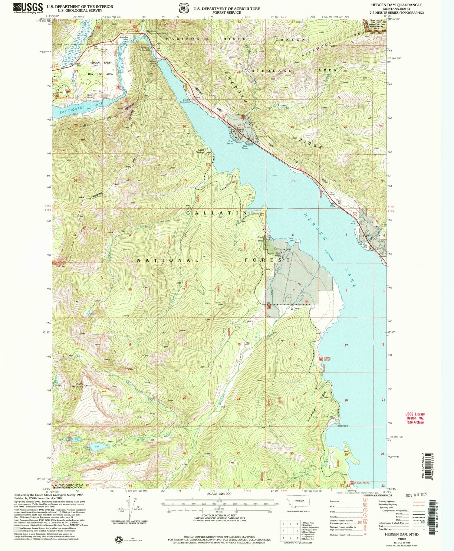
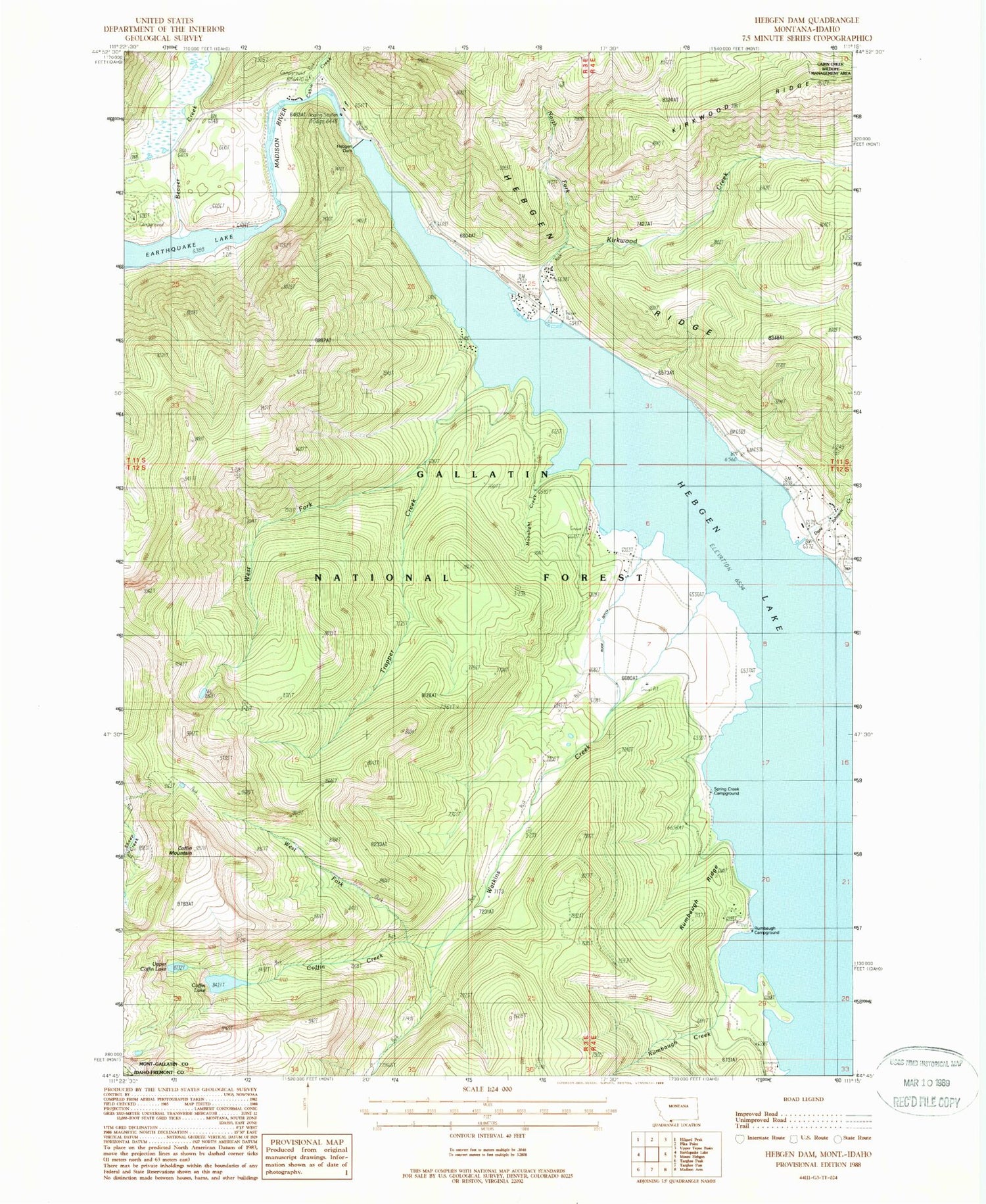
MyTopo
Classic USGS Hebgen Dam Montana 7.5'x7.5' Topo Map
Couldn't load pickup availability
Historical USGS topographic quad map of Hebgen Dam in the state of Montana. Typical map scale is 1:24,000, but may vary for certain years, if available. Print size: 24" x 27"
This quadrangle is in the following counties: Fremont, Gallatin.
The map contains contour lines, roads, rivers, towns, and lakes. Printed on high-quality waterproof paper with UV fade-resistant inks, and shipped rolled.
Contains the following named places: Beaver Creek, Cabin Creek, Cabin Creek Campground, Campfire Lodge, Clark Springs Group, Coffin Creek, Coffin Lake, Coffin Mountain, Dave Johnson Creek, Halford Camp, Hebgen Dam, Hebgen Ridge, Hilgard Lodge, Kirkwood Creek, Lake Hebgen Lodge, Moonlight Creek, North Fork Kirkwood Creek, Rumbaugh Campground, Rumbaugh Creek, Ruof Ditch, Trapper Creek, Upper Coffin Lake, Watkins Creek, Watkins Creek Ranch, West Fork Trapper Creek, West Fork Watkins Creek, Building Destruction Point of Interest, Beaver Creek Campground, Hebgen Reservoir, Spring Creek Campground, Rumbaugh Ridge, 12S04E05ADDC01 Well, Wally McClure Creek


