MyTopo
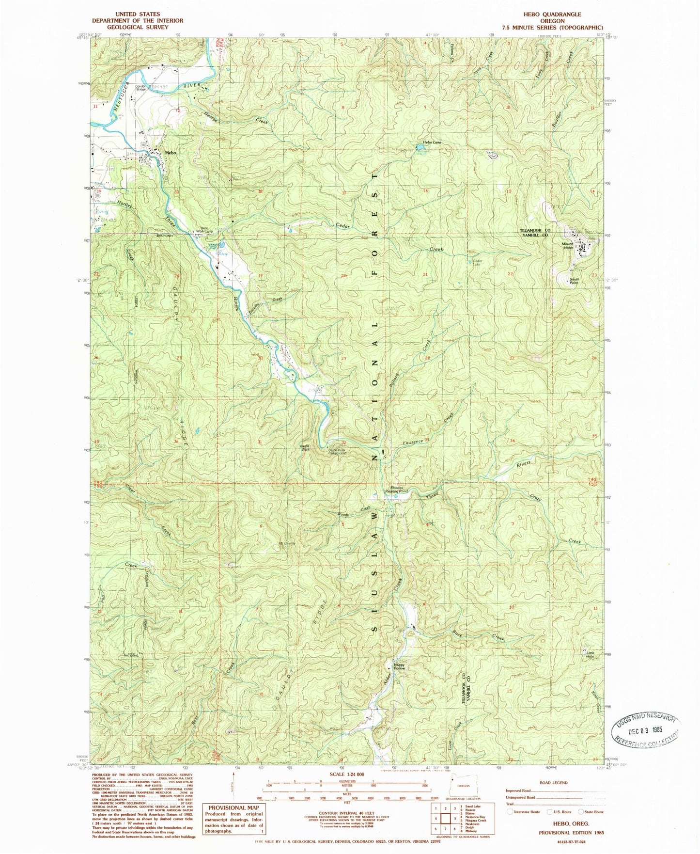
Classic USGS Hebo Oregon 7.5'x7.5' Topo Map
Couldn't load pickup availability
Historical USGS topographic quad map of Hebo in the state of Oregon. Typical map scale is 1:24,000, but may vary for certain years, if available. Print size: 24" x 27"
This quadrangle is in the following counties: Tillamook, Yamhill.
The map contains contour lines, roads, rivers, towns, and lakes. Printed on high-quality waterproof paper with UV fade-resistant inks, and shipped rolled.
Contains the following named places: Nestucca Valley Community Cemetery, Rhodes Rearing Pond, Alder Creek, Buck Creek, Castlerock Lodge, Cedar Creek, Cedar Lake, Crazy Creek, Gauldy Ridge, Mount Gauldy, George Creek, Happy Hollow, Hebo, Hebo Lake, Hebo Work Camp, Herbst Place, Lawrence Creek, Little Hebo, Pollard Creek, South Point, Woods Creek, Tucker Spring, Rock Creek, Hebo Lake Recreation Site, Castle Rock Recreation Site, Castle Rock, Spring Creek, Dorothy Creek, KTIL-FM, Hebo Ranger Station, Condor Bridge, Cedar Creek Administration Site Fish Hatchery, Gist Cemetery, Hebo Post Office, Mount Hebo Air Force Station (historical), Hebo Census Designated Place, Nestucca Rural Fire Protection District Station 81 Headquarters, United States Forest Service Hebo Ranger District, Hebo Joint Water and Sanitary Authority, Three Rivers County Drift Boat Launch


