MyTopo
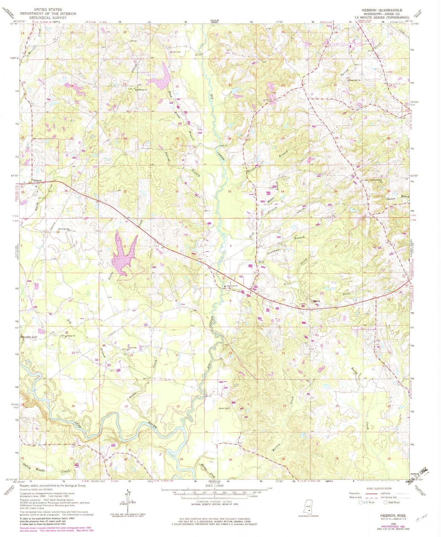
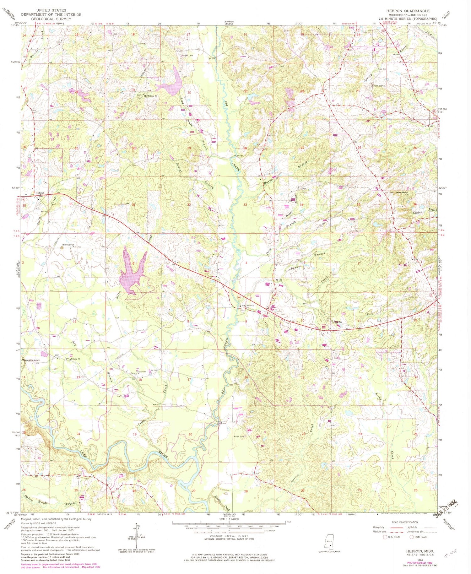
Classic USGS Hebron Mississippi 7.5'x7.5' Topo Map
Couldn't load pickup availability
Historical USGS topographic quad map of Hebron in the state of Mississippi. Map scale may vary for some years, but is generally around 1:24,000. Print size is approximately 24" x 27"
This quadrangle is in the following counties: Jones.
The map contains contour lines, roads, rivers, towns, and lakes. Printed on high-quality waterproof paper with UV fade-resistant inks, and shipped rolled.
Contains the following named places: Big Creek, Big Creek Cemetery, Big Creek Church, Big Creek Watershed Structure 9 Dam, Boggy Volunteer Fire Department, Bruce School, C F Greene Lake Dam, Centerville Baptist Church, Centerville School, Centreville Cemetery, Charles Pickering Catfish Ponds Dam, Deadman Branch, Deavor Powell Pond Dam, Deep Branch, Dry Branch, Duck Hill Church, Ellzey Cemetery, Harper Branch, Harper Cemetery, Hebron, Hebron Cemetery, Hebron Methodist Church, Hebron School, Hebron Volunteer Fire Department, Hill Cemetery, Liberty Church, Little Creek, Mahaw Branch, Martin Creek, Merrill Pickering Lake Dam, Mill Creek, Morning Star Church, Mount Roe School, Mount William Church, Polecat Branch, Prospect School, Reed Brake Branch, Smiths Store, South Fork Mill Creek, Supervisor District 2, Sweet Beulah Church, Trinity Church, ZIP Code: 39480


