MyTopo
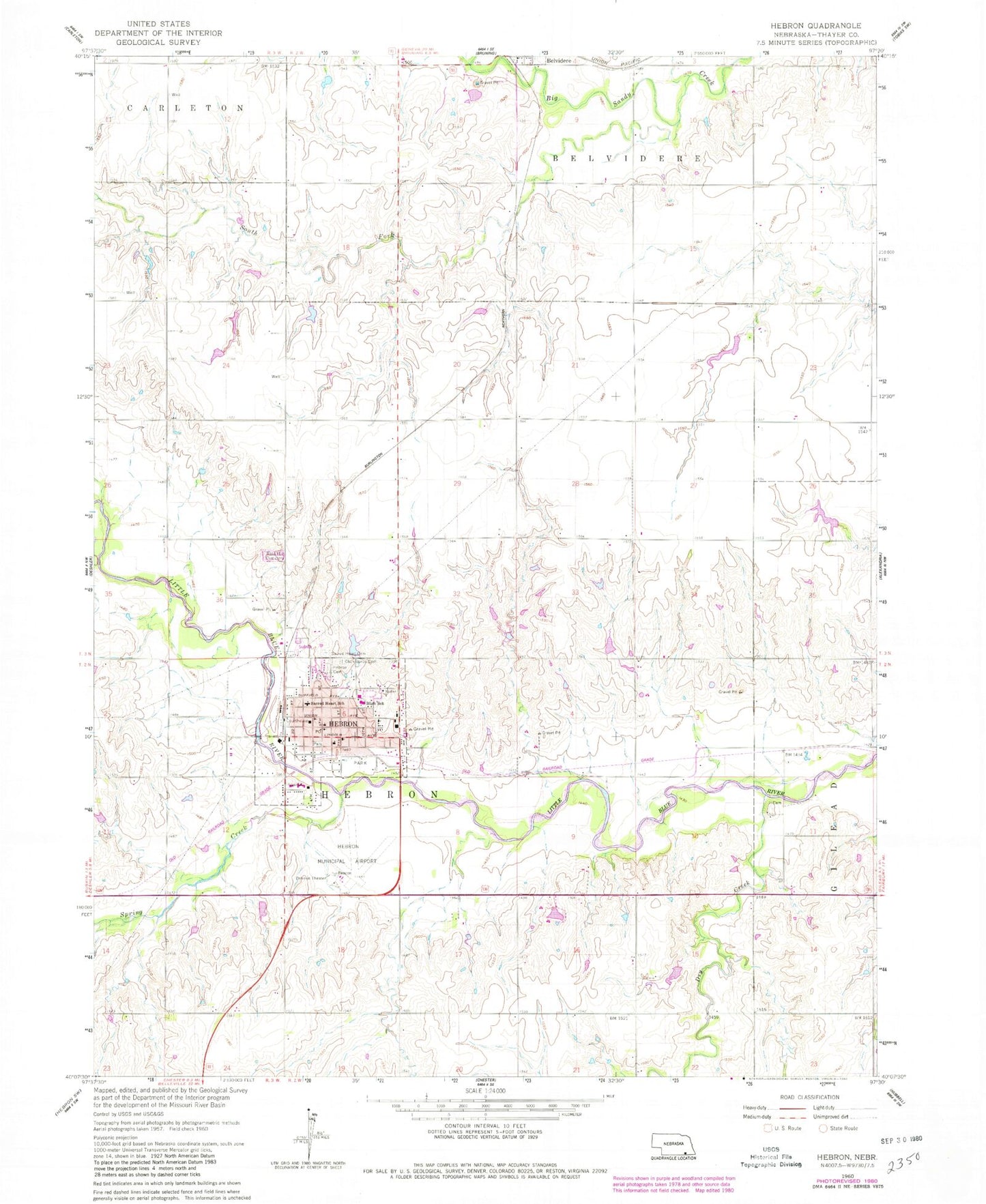
Classic USGS Hebron Nebraska 7.5'x7.5' Topo Map
Couldn't load pickup availability
Historical USGS topographic quad map of Hebron in the state of Nebraska. Map scale may vary for some years, but is generally around 1:24,000. Print size is approximately 24" x 27"
This quadrangle is in the following counties: Thayer.
The map contains contour lines, roads, rivers, towns, and lakes. Printed on high-quality waterproof paper with UV fade-resistant inks, and shipped rolled.
Contains the following named places: Blue Valley Lutheran Care Home, Blue Valley Lutheran Nursing Home, Bussell School, Christian Church, City of Hebron, Cottonwood College School, Dog Leg Airport, Dondlinger Dam, Dondlinger Reservoir, Dry Creek, Ear Nose and Throat Specialties, Elting Dam, Elting Reservoir, Eye Surgical Associates, Faith Lutheran Church, Grace Lutheran Church, Hebron, Hebron Cemetery, Hebron Country Club, Hebron Dam, Hebron Election Precinct, Hebron Elementary Intermediate School, Hebron Elementary Primary School, Hebron High School, Hebron Municipal Airport, Hebron North Election Precinct, Hebron Post Office, Hebron Reservoir, Hebron Secrest Library, Hebron South Election Precinct, Hebron Volunteer Fire Department and Rescue Squad, Jackson School, Legion Field, Little Blue State Wildlife Management Area, Maple Grove School, Mid America Vision Clinic, New Life Assembly, Norder Agri-Grain Incorporated Elevator, Ourada Chiropractic, Presbyterian Church, Priefert School, Riverside Park, Riverside RV Park, Roosevelt Park, Rose Hill Cemetery, Sacred Heart Catholic Church, Sacred Heart Cemetery, Sacred Heart School, Sandy Academy School, South Fork Big Sandy Creek, Spring Creek, Thayer County, Thayer County Ambulance Service, Thayer County Courthouse, Thayer County Health Services - Clinic, Thayer County Health Services Hospital, Thayer County Sheriff's Office, Township of Hebron, United Methodist Church, Willard Park, ZIP Code: 68370


