MyTopo
Classic USGS Heceta Head Oregon 7.5'x7.5' Topo Map
Couldn't load pickup availability
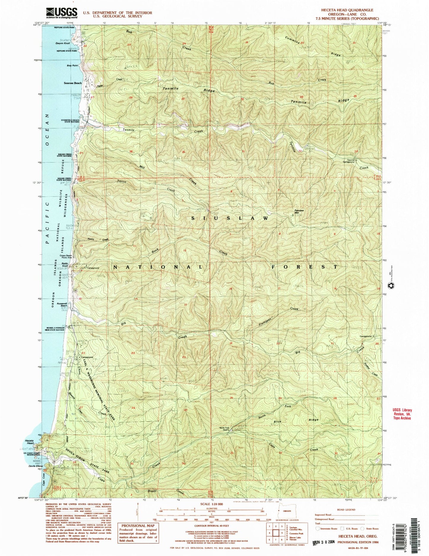
Historical USGS topographic quad map of Heceta Head in the state of Oregon. Typical map scale is 1:24,000, but may vary for certain years, if available. Print size: 24" x 27"
This quadrangle is in the following counties: Lane.
The map contains contour lines, roads, rivers, towns, and lakes. Printed on high-quality waterproof paper with UV fade-resistant inks, and shipped rolled.
Contains the following named places: Cape Creek, Agate Creek, Big Creek, Big Creek Forest Camp (historical), Blowout Creek, Blue Ridge, Bob Creek, Bray Point, China Creek, Devils Elbow, Heceta Head Lighthouse State Scenic Viewpoint, Fairview Mountain, Fryingpan Creek, Gwynn Knoll, Mill Creek, Nancy Creek, North Fork Cape Creek, Ocean Beach Recreation Site, Muriel O Ponsler Memorial State Scenic Viewpoint, Rock Creek, Rock Creek Recreation Site, Rocky Knoll, Roosevelt Beach, Searose Beach, Tokatee Creek, Tenmile Creek, Ten Mile Creek Recreation Site (historical), Wapiti Creek, Panther Creek, Stonefield Beach State Recreation Site, North Fork Quarry, Carl G Washburne Memorial State Park, Tokatee Kloochman State Natural Site, Heceta Post Office (historical), Minnie Post Office (historical), Roosevelt Beach Post Office (historical), Lanham Bike Recreation Site (historical), Florence Division, Rock Creek Wilderness, Cape Creek Tunnel 3961, Heceta Head Lighthouse, Stonefield Beach Burials


