MyTopo
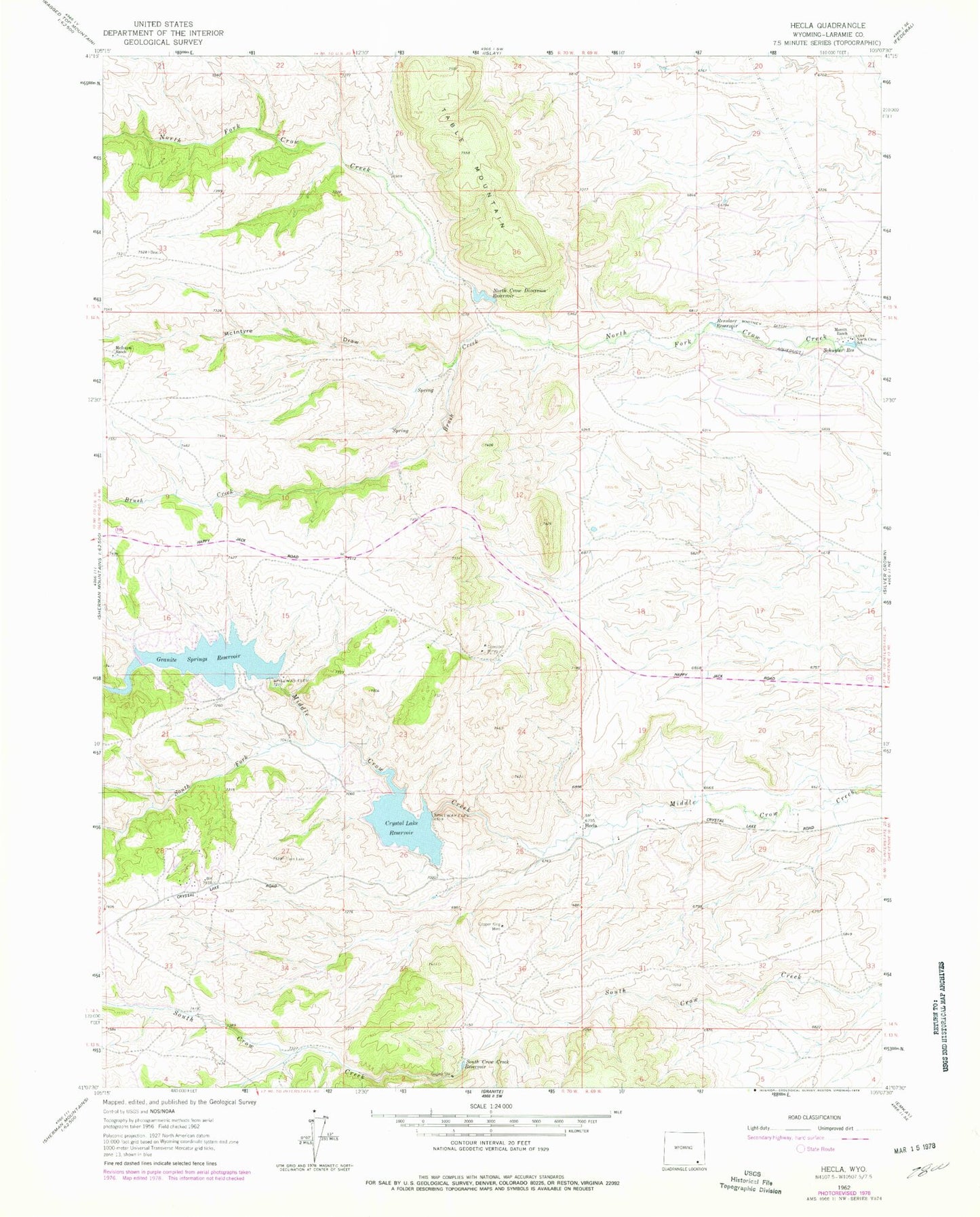
Classic USGS Hecla Wyoming 7.5'x7.5' Topo Map
Couldn't load pickup availability
Historical USGS topographic quad map of Hecla in the state of Wyoming. Map scale may vary for some years, but is generally around 1:24,000. Print size is approximately 24" x 27"
This quadrangle is in the following counties: Laramie.
The map contains contour lines, roads, rivers, towns, and lakes. Printed on high-quality waterproof paper with UV fade-resistant inks, and shipped rolled.
Contains the following named places: Arizona Mine, Barlett Copper King Mine, Brush Creek, Comstock Mines, Copper King Mine, Crystal Lake Dam, Crystal Lake Reservoir, Fairview Mine, Globe Prospect, Granite Springs Dam, Granite Springs Reservoir, Great Standard Group Mine, Hecla, Hecla Mine and Prospects, Kopper Krown Group Mine, London Mine, Louise Mine, McIntyre Draw, McIntyre Ranch, Merritt Ranch, North Crow Diversion Reservoir, North Crow Diversion Reservoir Dam, North Crow School, Rambler Mine, Renslaer Reservoir, Schuyler Reservoir, South Crow Creek Reservoir, South Fork Middle Crow Creek, Table Mountain, Whitney Ditch


