MyTopo
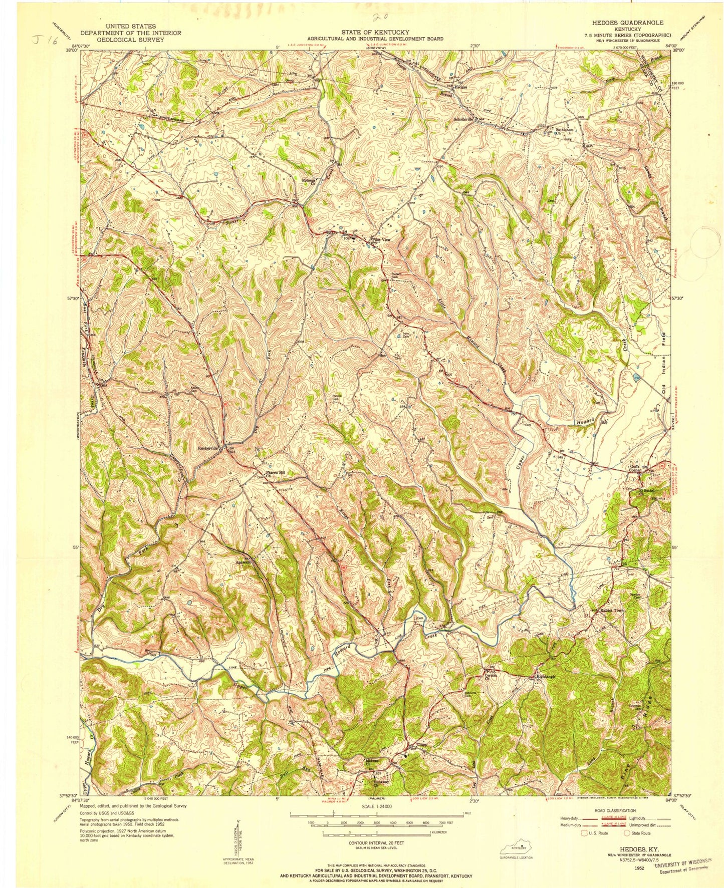
Classic USGS Hedges Kentucky 7.5'x7.5' Topo Map
Couldn't load pickup availability
Historical USGS topographic quad map of Hedges in the state of Kentucky. Typical map scale is 1:24,000, but may vary for certain years, if available. Print size: 24" x 27"
This quadrangle is in the following counties: Clark, Montgomery, Powell.
The map contains contour lines, roads, rivers, towns, and lakes. Printed on high-quality waterproof paper with UV fade-resistant inks, and shipped rolled.
Contains the following named places: Adams Cemetery, Bethlehem Baptist Church, Corinth Baptist Church, Dawson Cemetery, Dry Fork, Dunaway Methodist Church, El Bethel Church, Ephesus Baptist Church, Everman Cemetery, Fox Cemetery, Hedges, Irvin Cemetery, Kings Fork, Little Howard Creek, Midway Church, Osborne Cemetery, Parrish Cemetery, Pharris Hill Christian Church, Pilot View, Pine Ridge, Ruckerville, Rupard Cemetery, Schollsville, Agawam, Goffs Corner, Rabbit Town, Rightangle, Trapp, Southeast Clark Division, Fruitland, Bloomingdale Post Office (historical), Pilot View Post Office (historical), Chilton Post Office (historical), Rightangle Post Office (historical), Trapp Elementary School (historical), Dunaway Church Cemetery, Dunaway Post Office (historical), Midway (historical), Arlen Post Office (historical), Agawam Flag Stop (historical), Ruckerville Post Office (historical), Pharris Store (historical), Ruckerville Christian Church (historical), Rose Hill, Little Dry Fork, Fox Railroad Station (historical), Pleasant Hill, Pilot View School, Pleasant Ridge, Hedges Post Office (historical), Hedges Railroad Station (historical), Moundale, Edgewood, Crow Ridge, Snowden (historical), Boones Creek Church Camp, Trapp Post Office (historical), Raker Railroad Station (historical), Clark County Trapp Fire Department


