MyTopo
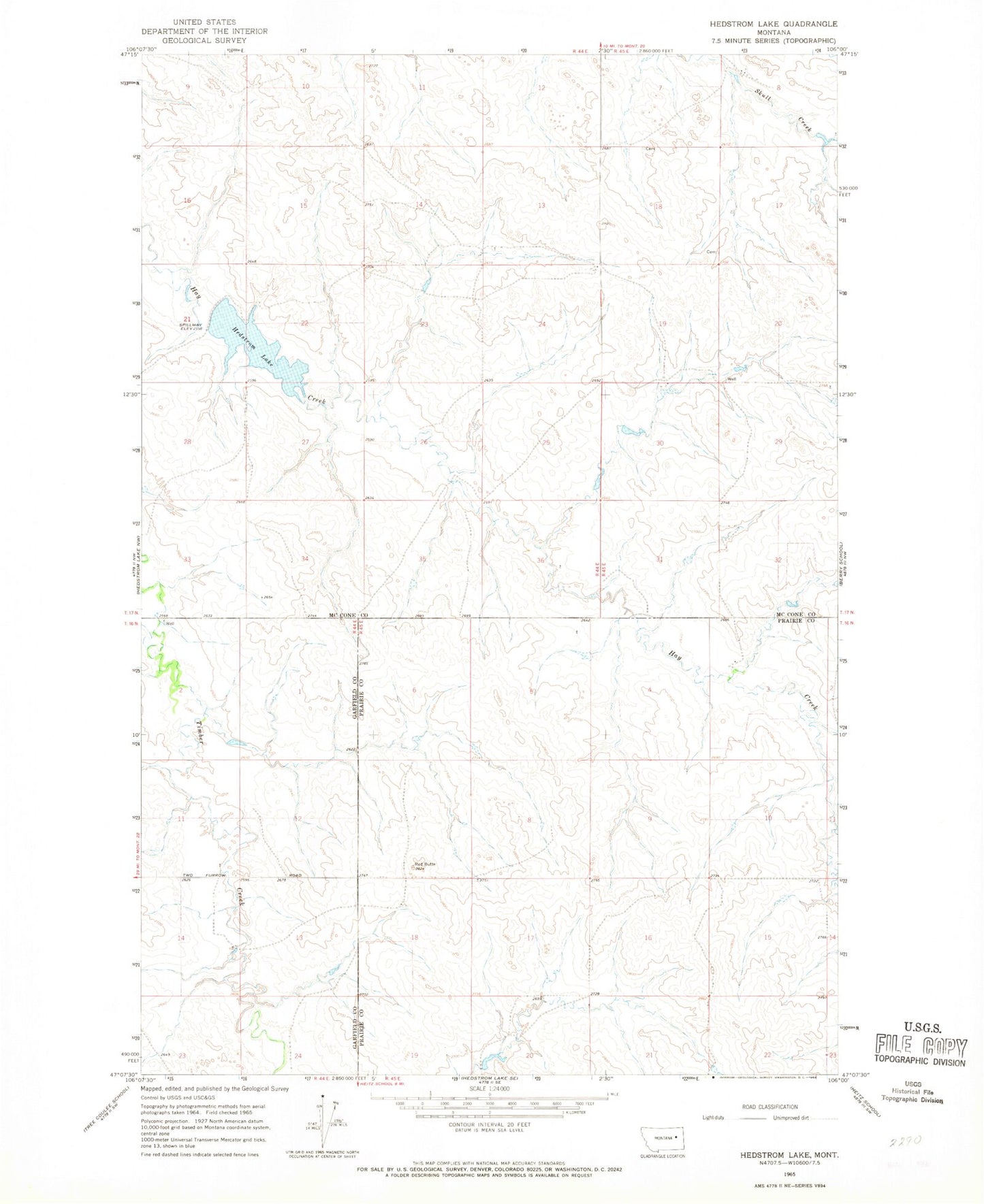
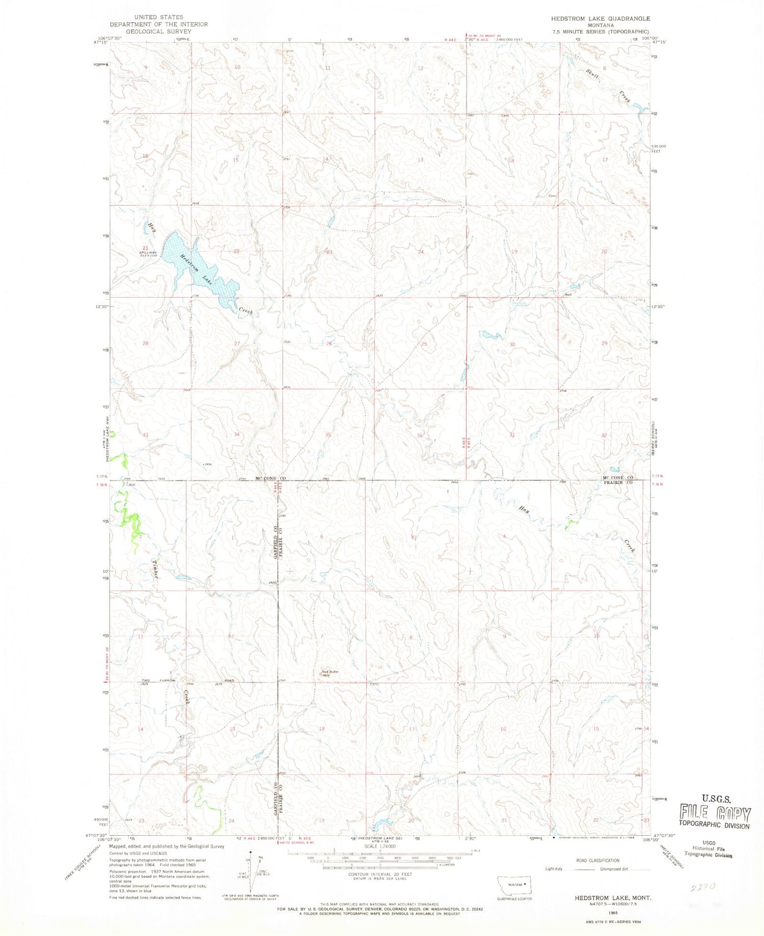
Classic USGS Hedstrom Lake Montana 7.5'x7.5' Topo Map
Couldn't load pickup availability
Historical USGS topographic quad map of Hedstrom Lake in the state of Montana. Map scale may vary for some years, but is generally around 1:24,000. Print size is approximately 24" x 27"
This quadrangle is in the following counties: Garfield, McCone, Prairie.
The map contains contour lines, roads, rivers, towns, and lakes. Printed on high-quality waterproof paper with UV fade-resistant inks, and shipped rolled.
Contains the following named places: 16N44E02BABA01 Well, 16N44E02BABA02 Well, 16N44E02BABB01 Well, 16N44E11DDCA01 Well, 16N44E14DAAC01 Well, 16N45E03BCAD01 Well, 16N45E03BCDB01 Well, 16N45E05AAAC01 Well, 16N45E05AABC01 Well, 16N45E06BABD01 Well, 16N45E18BACA01 Well, 17N44E13CCBD01 Well, 17N44E16DABC01 Well, 17N44E23ADBB01 Well, 17N44E24AAAA01 Well, 17N44E24DAAA01 Well, 17N44E27ABBC01 Well, 17N44E34DDBA01 Well, 17N44E35AABA01 Well, 17N44E36ACDD01 Well, 17N45E20CCC_01 Well, Biebers Cemetery, Crowley Post Office, Hedstorm Reservoir Dam, Hedstrom Lake, Hedstrom Post Office, Hedstrom School, Lutheran Church, Naasz School, Schlenker Dam, Seventh Day Adventist Church