MyTopo
Classic USGS Heenan Lake California 7.5'x7.5' Topo Map
Couldn't load pickup availability
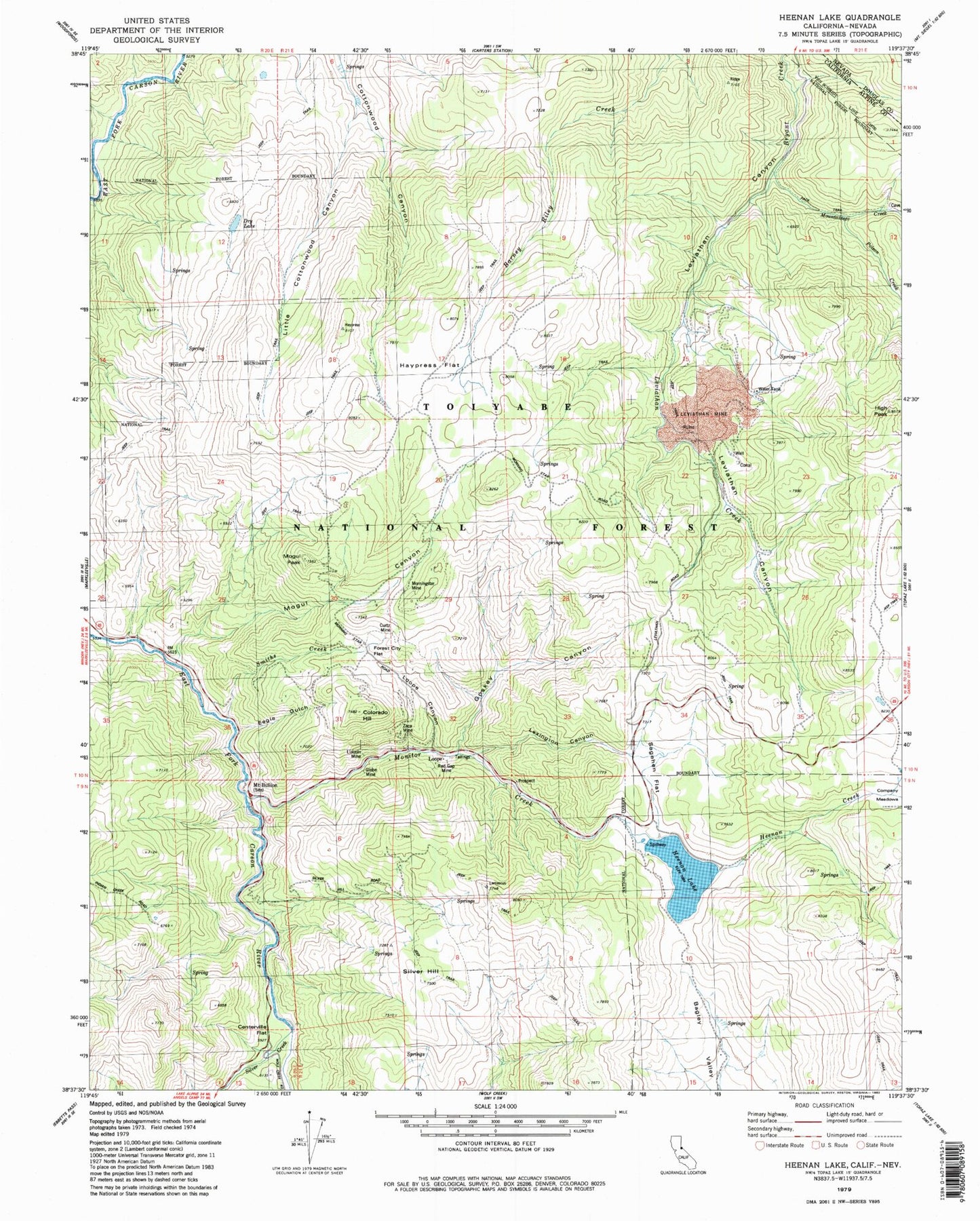
Historical USGS topographic quad map of Heenan Lake in the state of California. Typical map scale is 1:24,000, but may vary for certain years, if available. Print size: 24" x 27"
This quadrangle is in the following counties: Alpine, Douglas.
The map contains contour lines, roads, rivers, towns, and lakes. Printed on high-quality waterproof paper with UV fade-resistant inks, and shipped rolled.
Contains the following named places: Lexington Canyon, Centerville Flat, Colorado Hill, Curtz Mine, Dry Lake, Eagle Gulch, Forest City Flat, Globe Mine, Goskey Canyon, Haypress Flat, Heenan Creek, Heenan Lake, High Peak, Leviathan Creek, Leviathan Mine, Lincoln Mine, Little Cottonwood Canyon, Loope Canyon, Mogul Canyon, Mogul Peak, Monitor Creek, Morningstar Mine, Mountaineer Creek, Poison Creek, Red Gap Mine, Sagehen Flat, Silver Creek, Silver Hill, Smiths Creek, Zaca Mine, Sunshine Mine, Centerville Flat Campground, Loope, Barney Riley Trail, Centerville (historical), Centerville Bridge, Heenan Lake 514 Dam, Mount Bullion (historical), Centerville (historical)


