MyTopo
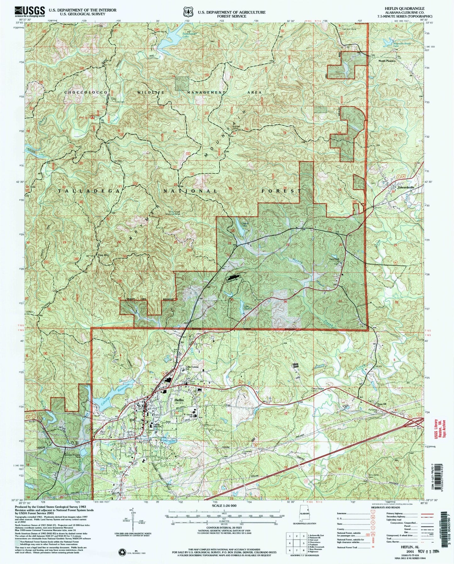
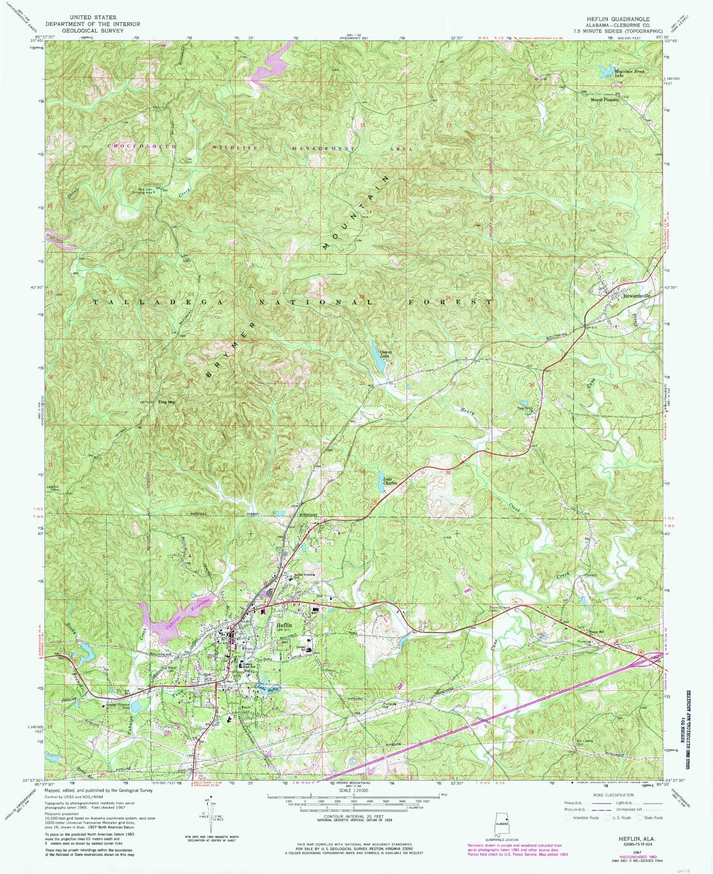
Classic USGS Heflin Alabama 7.5'x7.5' Topo Map
Couldn't load pickup availability
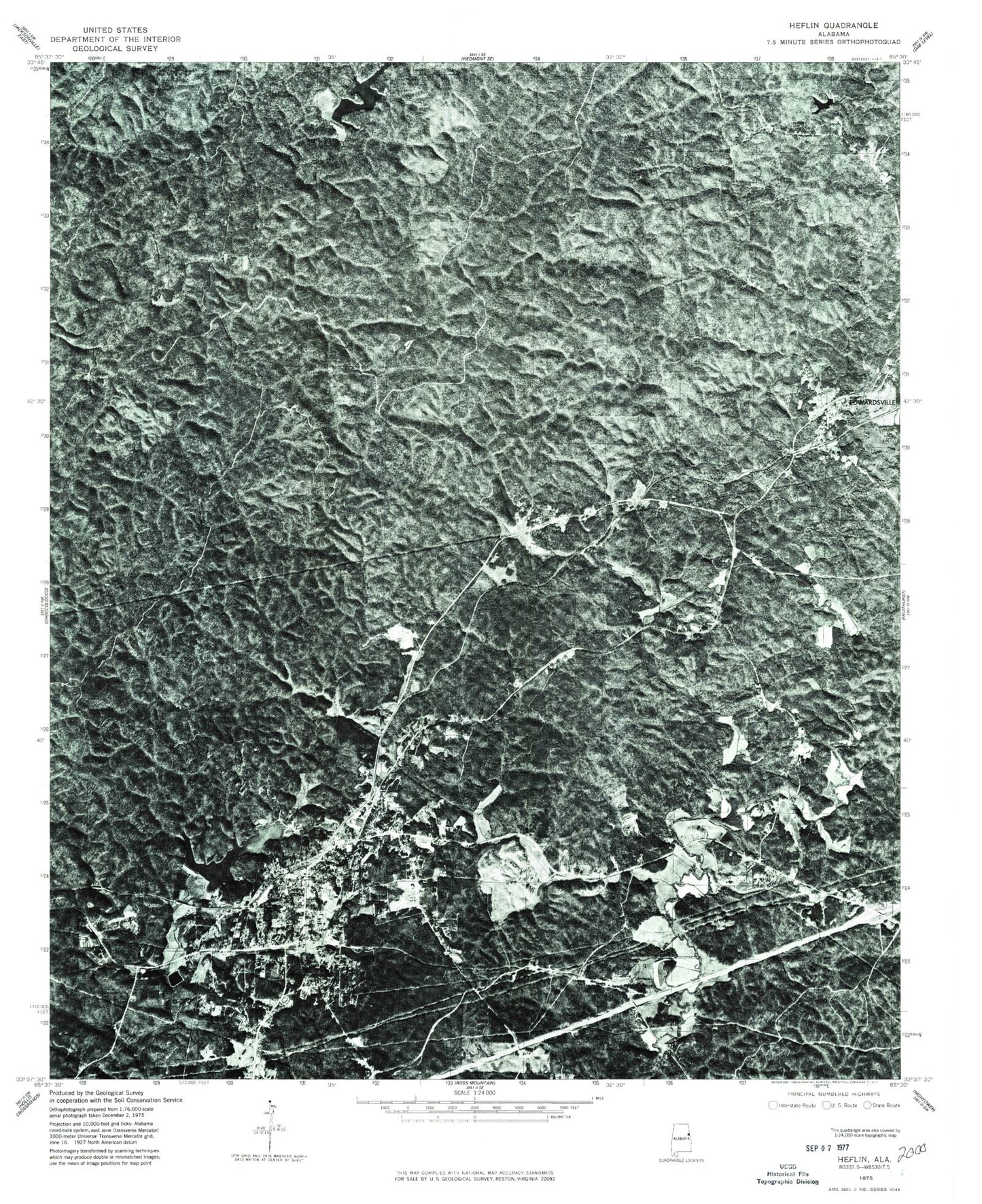
Historical USGS topographic quad map of Heflin in the state of Alabama. Typical map scale is 1:24,000, but may vary for certain years, if available. Print size: 24" x 27"
This quadrangle is in the following counties: Cleburne.
The map contains contour lines, roads, rivers, towns, and lakes. Printed on high-quality waterproof paper with UV fade-resistant inks, and shipped rolled.
Contains the following named places: Owens Dam, Black Cemetery, Brymer Mountain, Cane Creek Church, Lake Charles, Cole Cemetery, Edwardsville, Evans Chapel Cemetery, Flag Mountain, Happy Hill Baptist Church, Heflin, Heflin Cemetery, Heflin Training School, Lake Heflin, Henry Creek, Mount Pleasant, Mountain Brook Lake, Old Liberty Church Cemetery, Owens Lake, Pine Glen Camping Area, Rocky Branch, Town Creek, Heflin Dam, Cahulga Creek Lake Number 1, Cahulga Creek Watershed Dam Number 1, Bell Dam, Choccolocco Creek Lake Number 7, Aderhold Dam, Cleburne County, Burton Creek, Cleburne County Courthouse, Cleburne County High School, Cove Church (historical), Evans Chapel, Hale School (historical), Heflin African Methodist Episcopal Church, Heflin City Hall, Heflin Grammar School (historical), Highrock Lake, Honeycutt (historical), Mayfields Store (historical), Mount Olive Baptist Church, Mount Pleasant Church (historical), Old Salem Church (historical), Pleasant Ridge Church, Thomas Lake, Town Creek, Shoal Creek Ranger District Office, Vaughn Mill (historical), Bankhead Lookout Tower, Lower Shoal Shelter, Tiger Stadium, Happy Hill Baptist Church Cemetery, Edwardsville Cemetery, City of Heflin, Heflin Fire Department, Heflin Police Department, Cleburne County Sheriff's Office, Heflin Post Office, Owens Dam, Black Cemetery, Brymer Mountain, Cane Creek Church, Lake Charles, Cole Cemetery, Edwardsville, Evans Chapel Cemetery, Flag Mountain, Happy Hill Baptist Church, Heflin, Heflin Cemetery, Heflin Training School, Lake Heflin, Henry Creek, Mount Pleasant, Mountain Brook Lake, Old Liberty Church Cemetery, Owens Lake, Pine Glen Camping Area, Rocky Branch, Town Creek, Heflin Dam, Cahulga Creek Lake Number 1, Cahulga Creek Watershed Dam Number 1, Bell Dam, Choccolocco Creek Lake Number 7, Aderhold Dam, Cleburne County, Burton Creek, Cleburne County Courthouse, Cleburne County High School, Cove Church (historical), Evans Chapel, Hale School (historical), Heflin African Methodist Episcopal Church, Heflin City Hall, Heflin Grammar School (historical), Highrock Lake, Honeycutt (historical), Mayfields Store (historical), Mount Olive Baptist Church, Mount Pleasant Church (historical), Old Salem Church (historical), Pleasant Ridge Church, Thomas Lake, Town Creek, Shoal Creek Ranger District Office, Vaughn Mill (historical), Bankhead Lookout Tower, Lower Shoal Shelter, Tiger Stadium, Happy Hill Baptist Church Cemetery, Edwardsville Cemetery, City of Heflin, Heflin Fire Department, Heflin Police Department, Cleburne County Sheriff's Office, Heflin Post Office