MyTopo
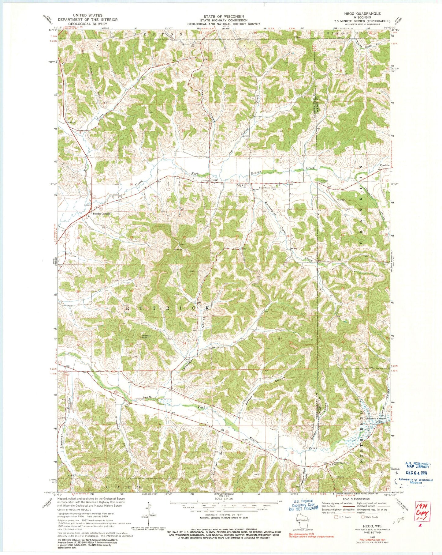
Classic USGS Hegg Wisconsin 7.5'x7.5' Topo Map
Couldn't load pickup availability
Historical USGS topographic quad map of Hegg in the state of Wisconsin. Map scale may vary for some years, but is generally around 1:24,000. Print size is approximately 24" x 27"
This quadrangle is in the following counties: Jackson, Trempealeau.
The map contains contour lines, roads, rivers, towns, and lakes. Printed on high-quality waterproof paper with UV fade-resistant inks, and shipped rolled.
Contains the following named places: Beach School, Beachs Corners, Bear Creek, Borreson Coulee, Buckholz Corners, Columbus Creek, Faith Lutheran Church, German Coulee, Hegg, Hegg School, Joe Coulee, Joe Coulee Creek, Legue Coulee, Lone Star School, North Beaver Creek Lutheran Church, Peacock Road Coulee, Pioneer Cemetery, Salzwedel Coulee, Salzwedel Coulee Creek, Simonson Coulee, South Beaver Creek Church, South Branch School, Stensven Coulee, Svenson Coulee, Thimble Peak, Town of Ettrick, Van Riper Coulee, Washington Coulee Creek, Washington School, West Branch Beaver Creek, Whalen School, ZIP Code: 54627