MyTopo
Classic USGS Heidrick Kentucky 7.5'x7.5' Topo Map
Couldn't load pickup availability
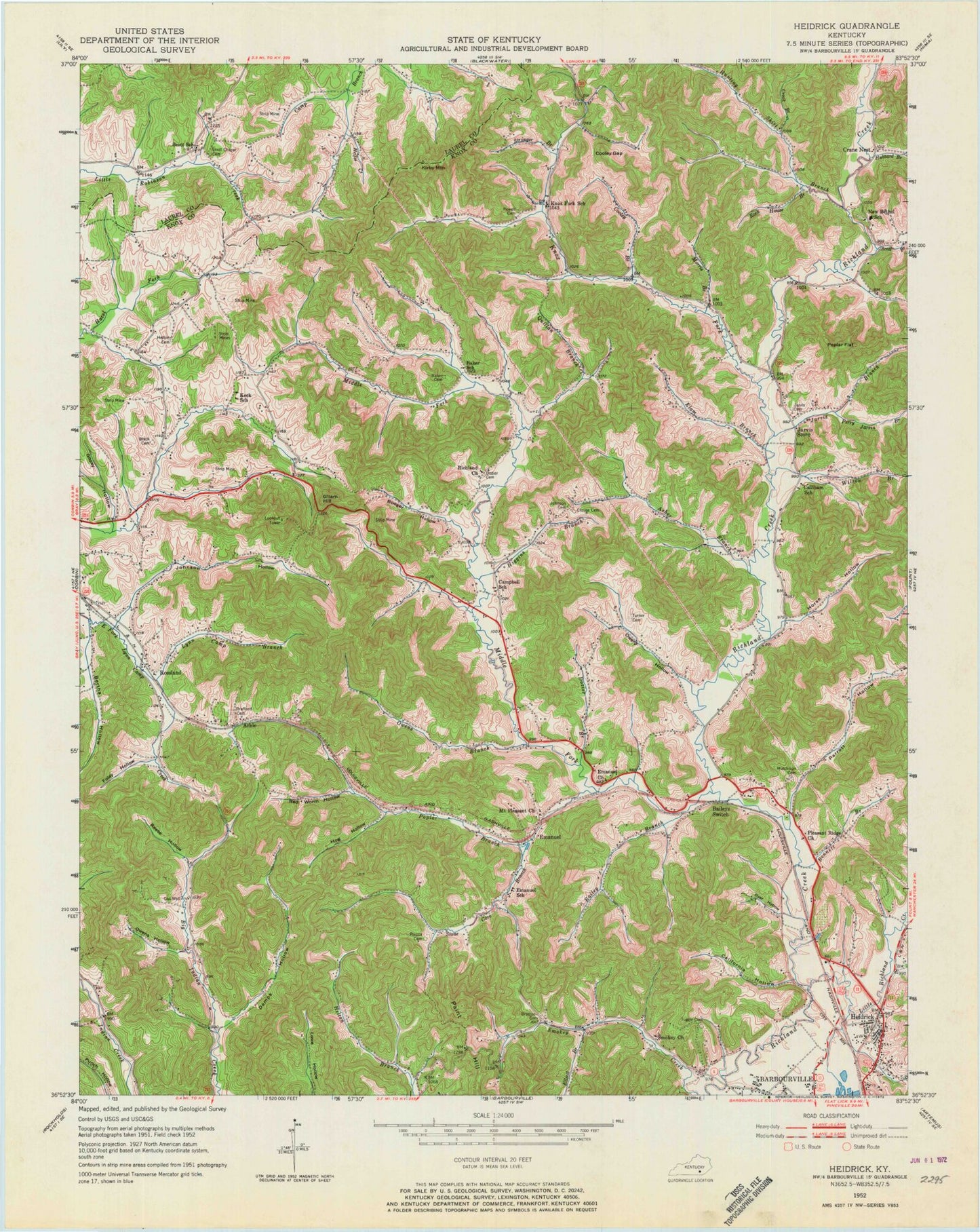
Historical USGS topographic quad map of Heidrick in the state of Kentucky. Map scale may vary for some years, but is generally around 1:24,000. Print size is approximately 24" x 27"
This quadrangle is in the following counties: Knox, Laurel.
The map contains contour lines, roads, rivers, towns, and lakes. Printed on high-quality waterproof paper with UV fade-resistant inks, and shipped rolled.
Contains the following named places: Arkle, Asher Branch, Bailey Branch, Bailey School, Bailey Switch Fire Department, Baileys Switch, Baileys Switch Post Office, Baker Cemetery, Baker School, Bennett Branch, Bertha Hollow, Bertha Mine, Bertha Post Office, Bertha Railroad Station, Black Cemetery, Booger Hollow, Brafford Cemetery, Bratton Cemetery, California Hollow, Callihan Church, Callihan School, Campbell School, Charlton Post Office, Charlton Railroad Station, Clouse Cemetery, Cooley Branch, Cooley Gap, Crane Nest, Crane Nest Church, Crane Nest Post Office, Crook Branch, Daniel Boone Old Camp, Demps Hollow, Dozier Cemetery, Dozier Fork, Dyer Hollow, Elam Branch, Elliott Branch, Emanuel, Emanuel Church, Emanuel Post Office, Emanuel Railroad Station, Emanuel School, Faith Church, Foley Hollow, Garrich Post Office, Gillam Hill, Gillam Knob, Gozey Hollow, Gray Division, Grays Church, Heidrick, Heidrick Post Office, Heidrick Railroad Station, Heidrick School, Heifer Creek, Helton Cemetery, Helton School, Higgins Branch, Hog Hollow, Horse Hollow, Hubbard Branch, Hunting Shirt Branch, Hutchison Cemetery, Jarvis Branch, Jarvis Cemetery, Jarvis Post Office, Jarvis Store, Johnson Cemetery, Johnson Hollow, Keck School, Kirby Mountain, Knox Fork, Knox Fork Post Office, Knox Fork School, Little Richland Creek, Logan Old Ford, Lynn Camp Branch, McClellan Church, McClellan School, Middle Fork Richland Creek, Morris Branch, Mount Pleasant Church, New Bethel School, Ostned Railroad Station, Owens Branch, Owens Hollow, Paint Hill, Parrott Hollow, Perry Jarvis Branch, Pfaff Cemetery, Phipps Cemetery, Pleasant Ridge Church, Poplar Branch, Poplar Flat, Powell Cemetery, Quillan Branch, Red Worm Hollow, Reese Hollow, Richland Church, Rock House Branch, Rossland, Rossland Post Office, Rossland Railroad Station, Scott Branch, Scott Chapel Cemetery, Scratch Ankle Branch, Smokey Church, Stone Cove Branch, Stringer Branch, Trudel Railroad Station, Tubhandle Gap, Tuggle Cemetery, Tunnel Hill, Turner Cemetery, Wilson Branch, WKDP-FM (Corbin), ZIP Code: 40734


