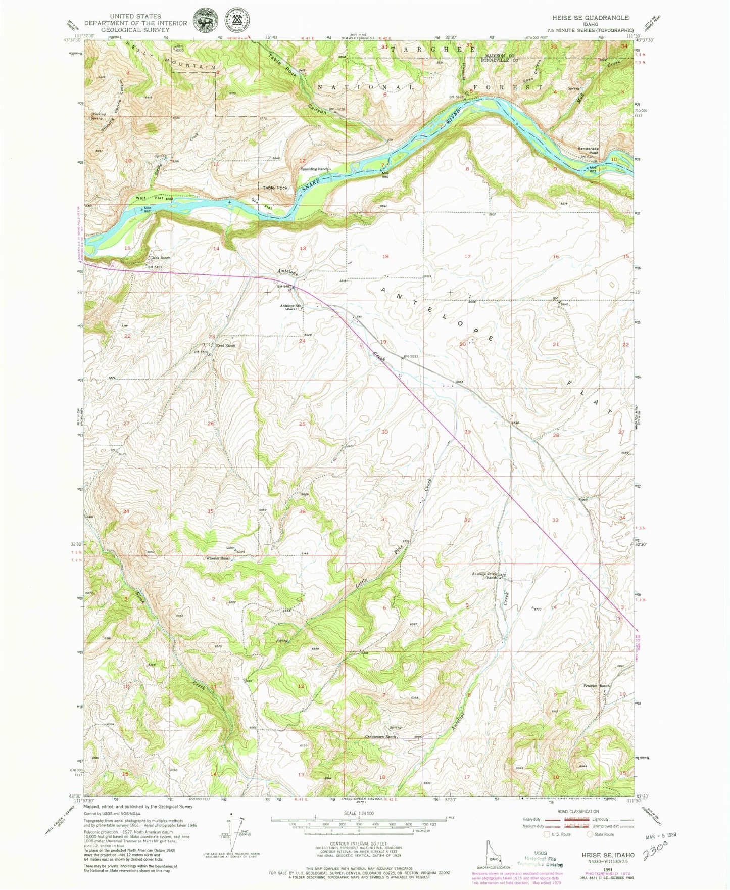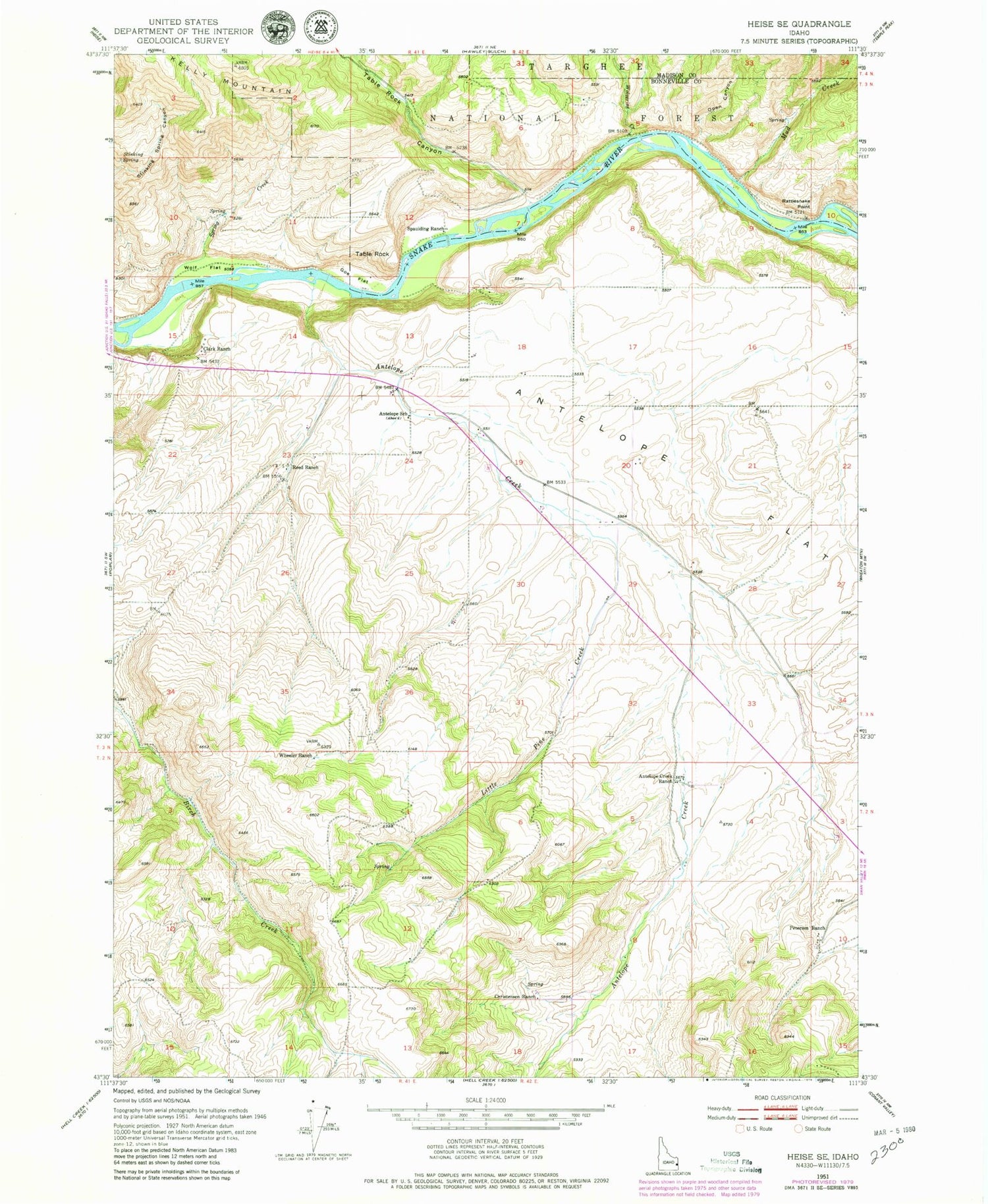
MyTopo
Classic USGS Heise SE Idaho 7.5'x7.5' Topo Map
Couldn't load pickup availability
Historical USGS topographic quad map of Heise SE in the state of Idaho. Map scale may vary for some years, but is generally around 1:24,000. Print size is approximately 24" x 27"
This quadrangle is in the following counties: Bonneville, Madison.
The map contains contour lines, roads, rivers, towns, and lakes. Printed on high-quality waterproof paper with UV fade-resistant inks, and shipped rolled.
Contains the following named places: Antelope Creek, Antelope Creek Ranch, Antelope Flat, Antelope School, Christensen Ranch, Clark Ranch, Goe Flat, Kelly Mountain, Little Pine Creek, Mud Creek, Open Canyon, Petersen Ranch, Rattlesnake Point, Reed Ranch, Spaulding Ranch, Spring Creek, Stinking Spring, Table Rock, Table Rock Canyon, Wheeler Ranch, Wolf Flat, Wolverine Creek, ZIP Code: 83443