MyTopo
Classic USGS Heise Idaho 7.5'x7.5' Topo Map
Regular price
$16.95
Regular price
Sale price
$16.95
Unit price
per
Couldn't load pickup availability
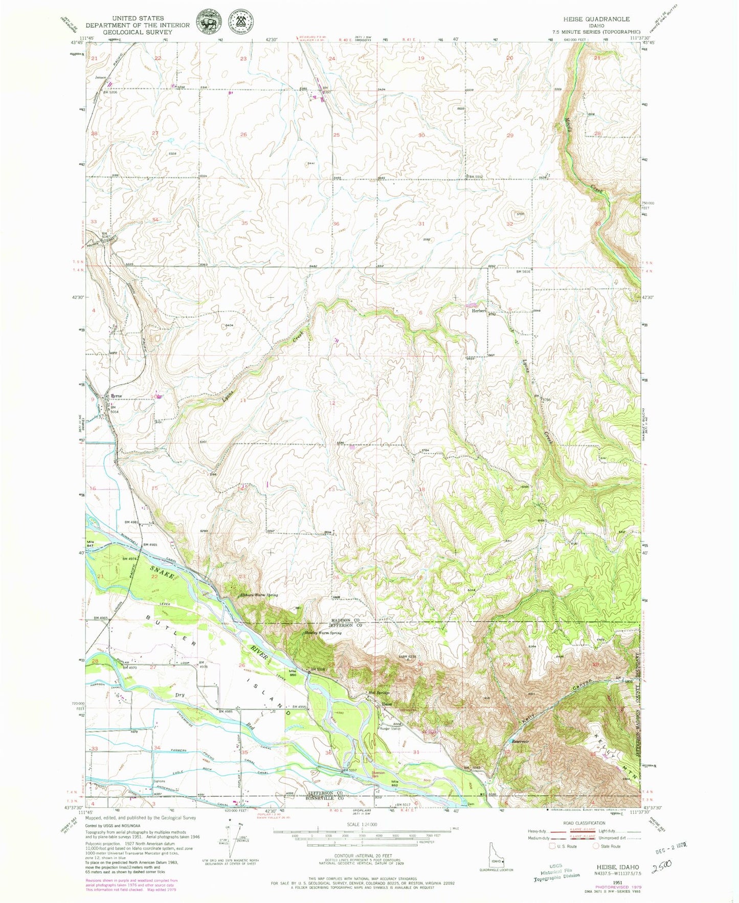
Historical USGS topographic quad map of Heise in the state of Idaho. Map scale may vary for some years, but is generally around 1:24,000. Print size is approximately 24" x 27"
This quadrangle is in the following counties: Bonneville, Jefferson, Madison.
The map contains contour lines, roads, rivers, towns, and lakes. Printed on high-quality waterproof paper with UV fade-resistant inks, and shipped rolled.
Contains the following named places: Bertha Rock, Blanche Rock, Butler Island, Byrne, Elkhorn Warm Spring, Hawley Warm Spring, Heise, Heise Hot Springs, Herbert, Hot Springs, Jensen, Kelly Canyon, Kelly Canyon Ski Area, Leatham Dam, Lyons Creek, Ririe Division, Tie Bend