MyTopo
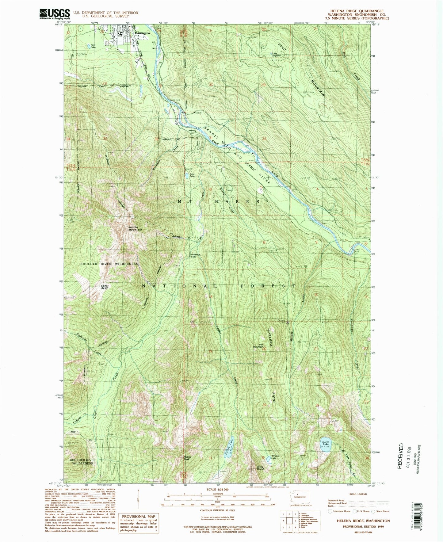
Classic USGS Helena Ridge Washington 7.5'x7.5' Topo Map
Couldn't load pickup availability
Historical USGS topographic quad map of Helena Ridge in the state of Washington. Map scale may vary for some years, but is generally around 1:24,000. Print size is approximately 24" x 27"
This quadrangle is in the following counties: Snohomish.
The map contains contour lines, roads, rivers, towns, and lakes. Printed on high-quality waterproof paper with UV fade-resistant inks, and shipped rolled.
Contains the following named places: Asbestos Creek, Asbestos Falls, Backman County Park, Backman Creek, Burns Creek, Cedar Basin, Clear Creek, Clear Creek Campground, Copper Creek, Darrington High School, Darrington Mobile Home Park 2, Darrington Water Works Dam, Decline Creek, Devils Thumb, Eightmile Creek, Falls Creek, Frog Lake, Gold Mountain, Helena Creek, Helena Lake, Helena Peak, Helena Ridge, Iron Mountain, Jumbo Mountain, Kids Place Early Learning Center, Kirk Lake, Lake Angeline, Murphy Creek, North Lake, Windon Lake