MyTopo
Classic USGS Helena California 7.5'x7.5' Topo Map
Couldn't load pickup availability
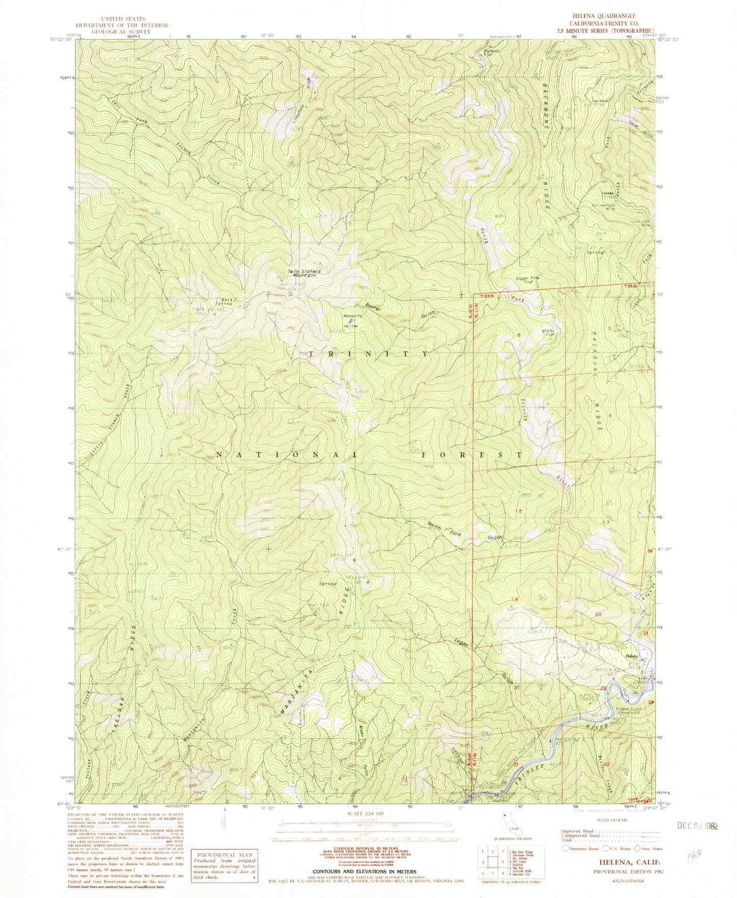
Historical USGS topographic quad map of Helena in the state of California. Map scale may vary for some years, but is generally around 1:24,000. Print size is approximately 24" x 27"
This quadrangle is in the following counties: Trinity.
The map contains contour lines, roads, rivers, towns, and lakes. Printed on high-quality waterproof paper with UV fade-resistant inks, and shipped rolled.
Contains the following named places: Baxter Gulch, Blacks Flat, Brock Gulch, Buck Spring, Coleridge, Cutthroat Gulch, Digger Pine Flat, Eagle Creek, East Fork North Fork Trinity River, Helena, Helena Cemetery, Helena Historic District, Helena Post Office, Indian Creek, Logan Gulch, Long Ranch, Manzanita Ridge, Miller Creek, Mosquito Hollow, Noonan Gulch, North Fork Gulch, North Fork Trinity River, Pigeon Point Campground, Raymond Flat, Squaw Gulch, Treloar Ridge, Twin Sisters Mountain, Waldorf Crossing, Yellowstone Mine


