MyTopo
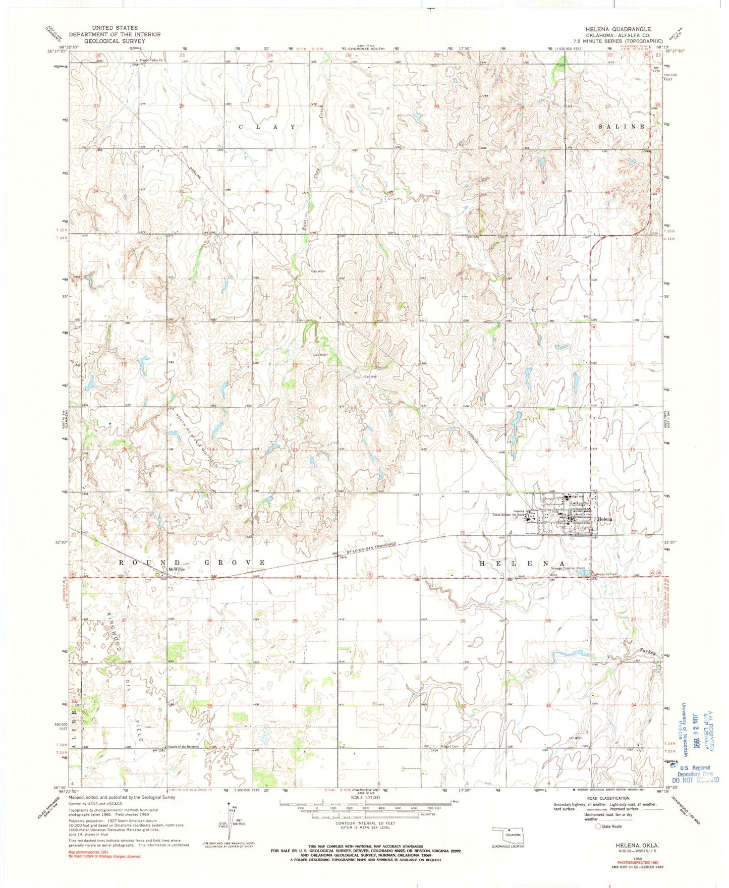
Classic USGS Helena Oklahoma 7.5'x7.5' Topo Map
Couldn't load pickup availability
Historical USGS topographic quad map of Helena in the state of Oklahoma. Map scale may vary for some years, but is generally around 1:24,000. Print size is approximately 24" x 27"
This quadrangle is in the following counties: Alfalfa.
The map contains contour lines, roads, rivers, towns, and lakes. Printed on high-quality waterproof paper with UV fade-resistant inks, and shipped rolled.
Contains the following named places: Helena, Helena Emergency Medical Services, Helena Police Department, Helena Post Office, Helena Volunteer Fire Department, James Crabtree Correctional Center, KXLS-FM (Alva), McWillie, North McWillie Oil Field, Oknoname 003001 Dam, Oknoname 003001 Reservoir, Prairie Valley Church, Rupert Cemetery, Timberlake Jr / Sr High School, Town of Helena, Township of Helena, Township of Round Grove, ZIP Code: 73741