MyTopo
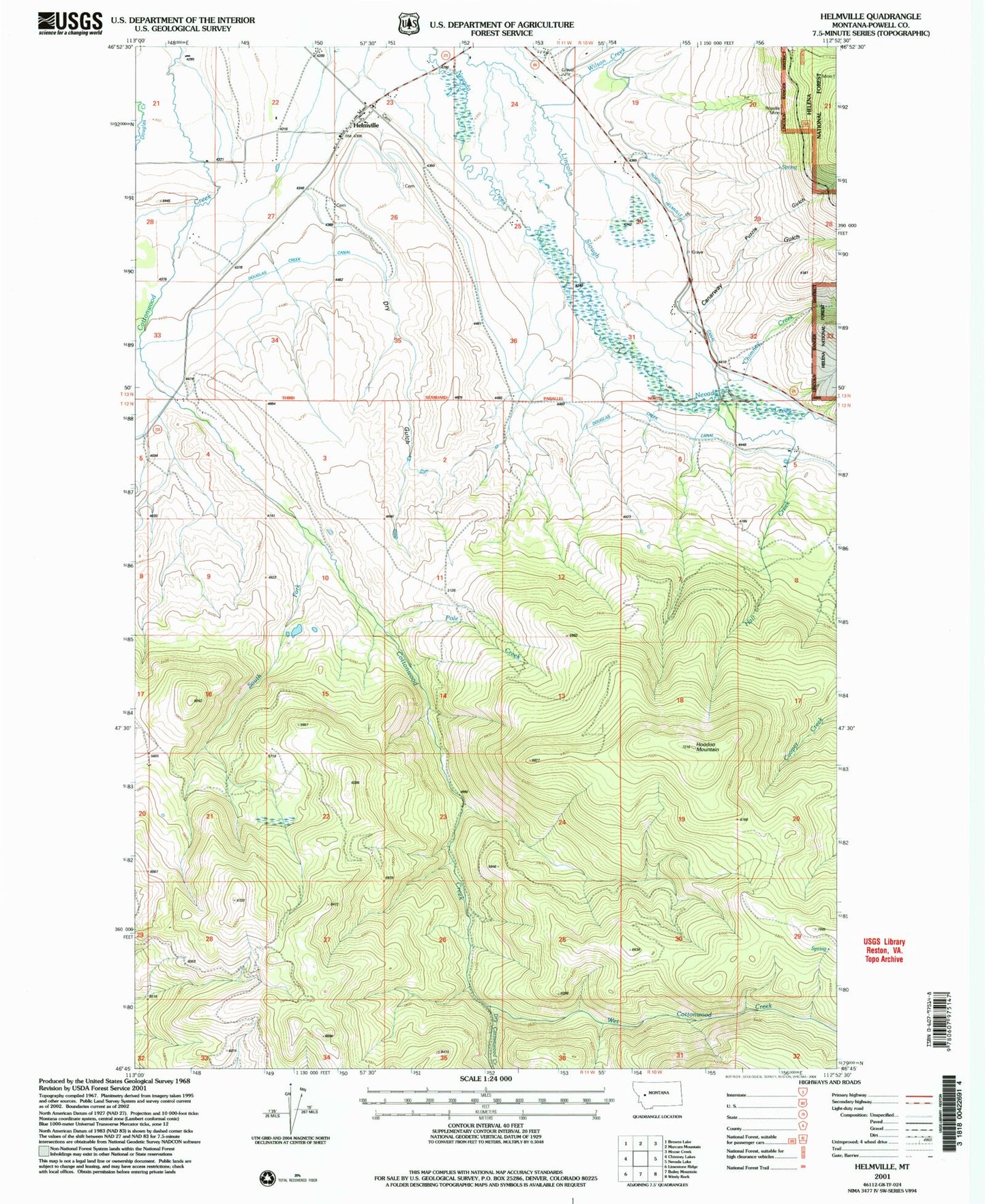
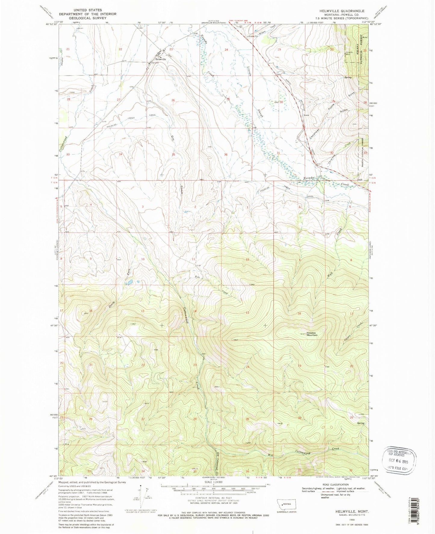
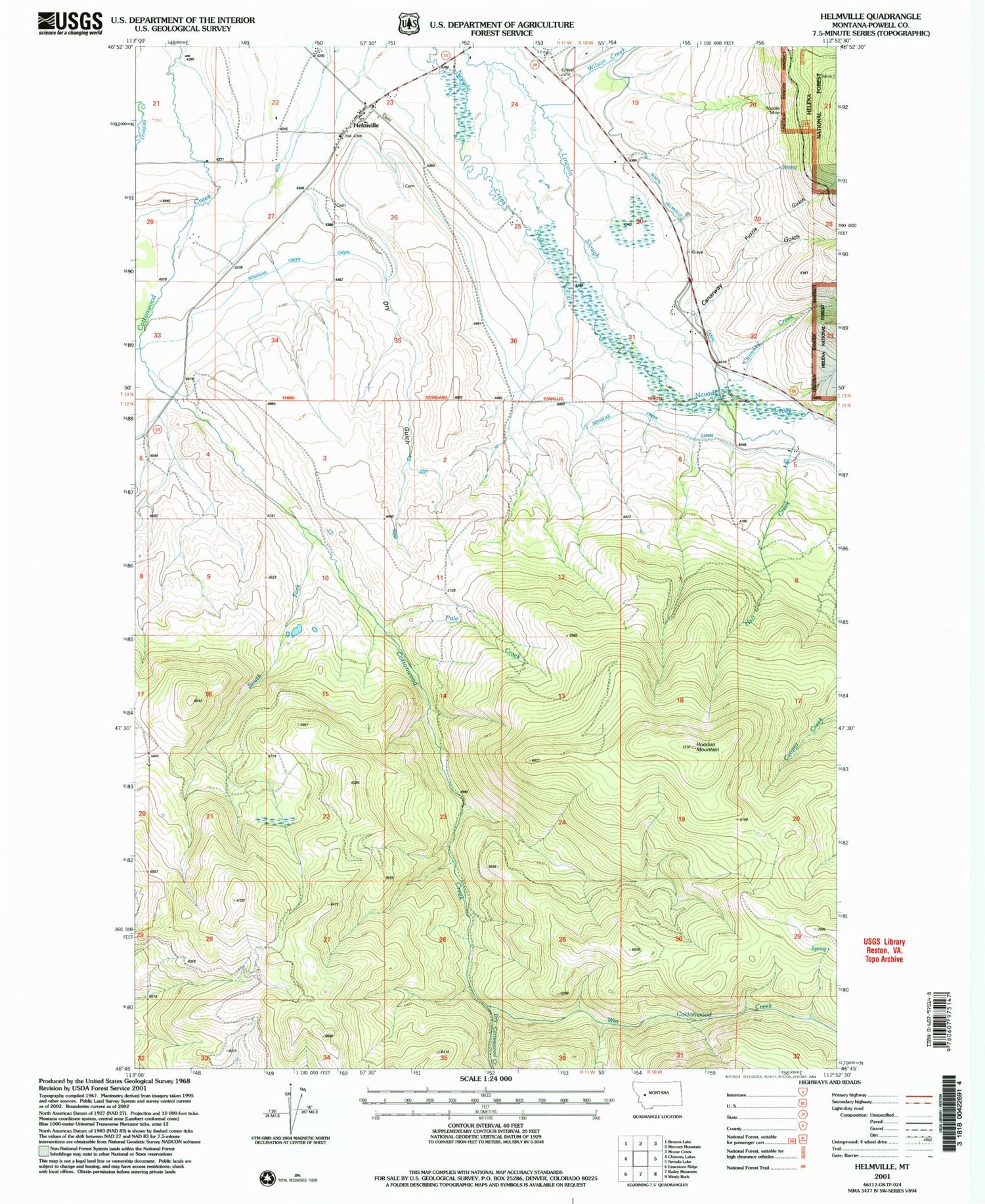
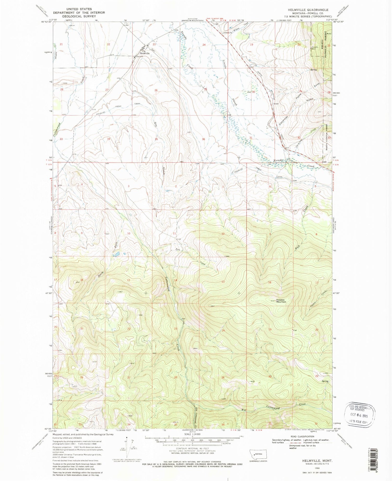
Classic USGS Helmville Montana 7.5'x7.5' Topo Map
Couldn't load pickup availability
Historical USGS topographic quad map of Helmville in the state of Montana. Map scale may vary for some years, but is generally around 1:24,000. Print size is approximately 24" x 27"
This quadrangle is in the following counties: Powell.
The map contains contour lines, roads, rivers, towns, and lakes. Printed on high-quality waterproof paper with UV fade-resistant inks, and shipped rolled.
Contains the following named places: 12N10W05BDDD01 Well, 12N10W05CAAB01 Well, 13N10W32CADC01 Well, 13N11W22AABA01 Well, 13N11W23CCBB01 Well, 13N11W24AABB01 Well, 59843, Canarway Gulch, Chimney Creek, Douglas Creek Canal, Dry Cottonwood Creek, Dry Gulch, Hall Creek, Helmville, Helmville Cemetery, Helmville Census Designated Place, Helmville Community Fellowship, Helmville Elementary School, Helmville Fire Department, Helmville Library, Helmville Post Office, Hoodoo Mountain, Methodist Church, Pole Creek, Powell County, Puzzle Gulch, Roselle Mine, Saint Thomas Cemetery, Saint Thomas the Apostle Church, Snowflake Mine, South Fork Cottonwood Creek, Treasure State Mine, Wet Cottonwood Creek, Wilson Creek


