MyTopo
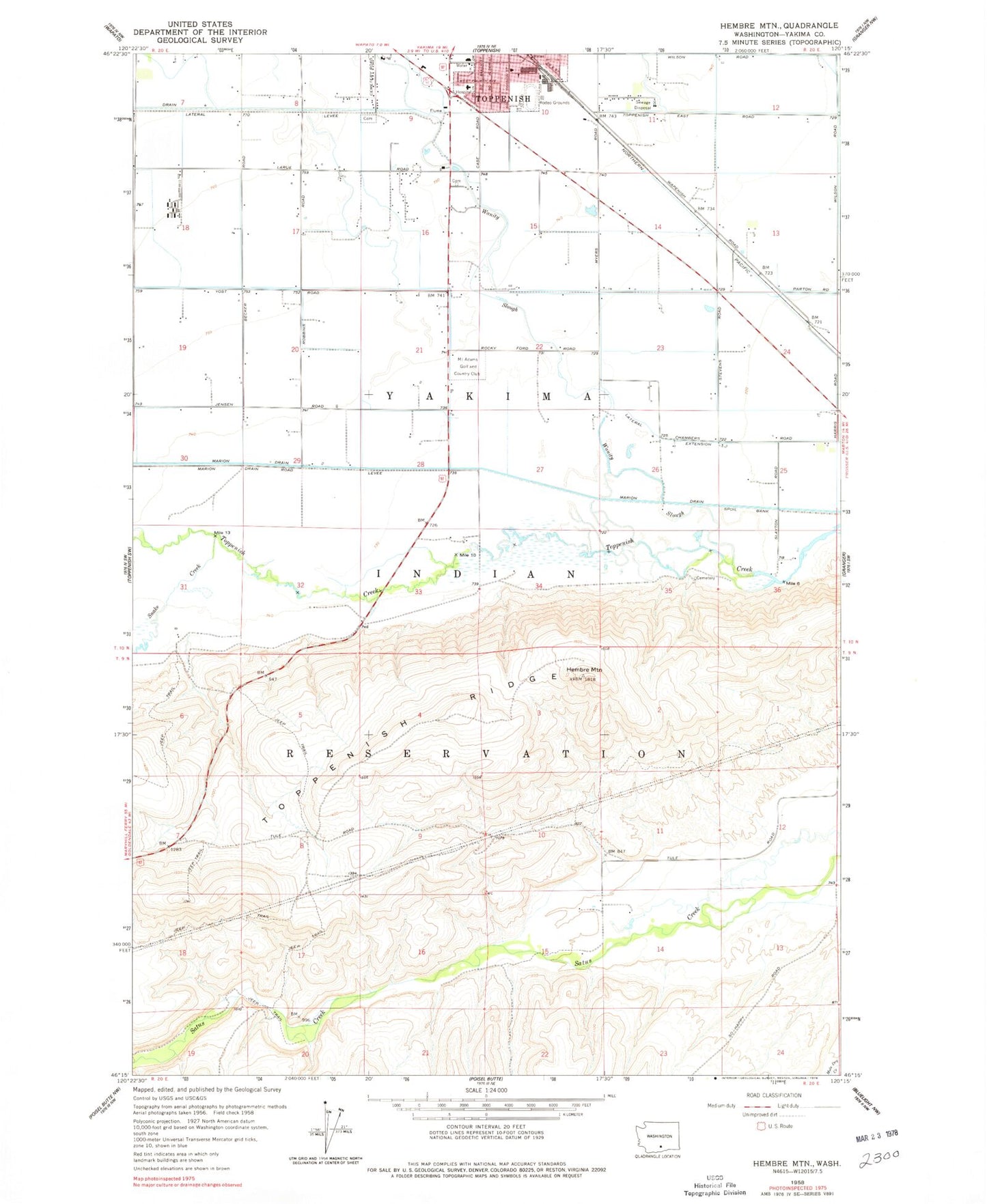
Classic USGS Hembre Mountain Washington 7.5'x7.5' Topo Map
Couldn't load pickup availability
Historical USGS topographic quad map of Hembre Mountain in the state of Washington. Map scale may vary for some years, but is generally around 1:24,000. Print size is approximately 24" x 27"
This quadrangle is in the following counties: Yakima.
The map contains contour lines, roads, rivers, towns, and lakes. Printed on high-quality waterproof paper with UV fade-resistant inks, and shipped rolled.
Contains the following named places: American Medical Response, Bangs Feedlot, Kisumxi Mountain, Marion Drain, Mount Adams Golf and Country Club, Snake Creek, Toppenish Community Hospital, Toppenish Drain, Toppenish Fire Department, Toppenish National Wildlife Refuge, Wanity Slough, White Swan Ambulance, ZIP Code: 98948