MyTopo
Classic USGS Hen Egg Mountain Texas 7.5'x7.5' Topo Map
Regular price
$16.95
Regular price
Sale price
$16.95
Unit price
per
Couldn't load pickup availability
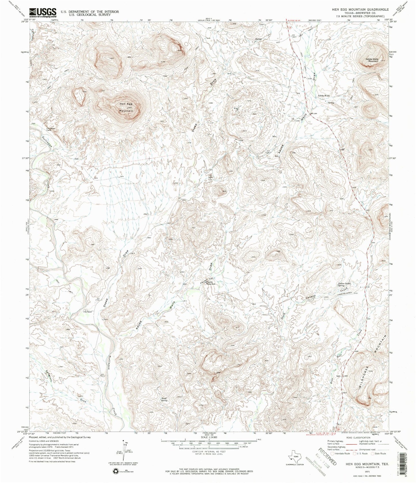
Historical USGS topographic quad map of Hen Egg Mountain in the state of Texas. Map scale may vary for some years, but is generally around 1:24,000. Print size is approximately 24" x 27"
This quadrangle is in the following counties: Brewster.
The map contains contour lines, roads, rivers, towns, and lakes. Printed on high-quality waterproof paper with UV fade-resistant inks, and shipped rolled.
Contains the following named places: Adobe Walls, Adobe Walls Draw, Adobe Walls Mountain, Crenshaw Camp, Hen Egg Mountain, Paynes Canyon, Paynes Waterhole, Saltgrass Draw, Steep Draw, Three Bar Ranch, Ward Spring, Wildhorse Mountain, Yellow Jacket Spring, ZIP Code: 79852