MyTopo
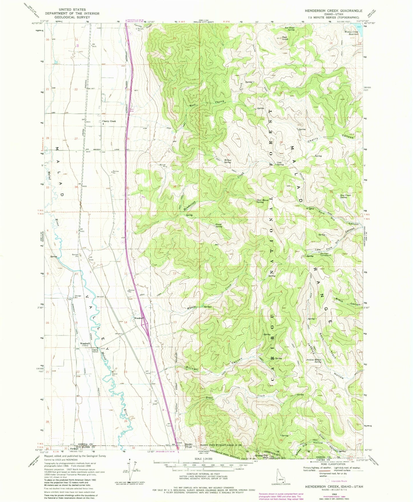
Classic USGS Henderson Creek Idaho 7.5'x7.5' Topo Map
Couldn't load pickup availability
Historical USGS topographic quad map of Henderson Creek in the state of Idaho. Map scale may vary for some years, but is generally around 1:24,000. Print size is approximately 24" x 27"
This quadrangle is in the following counties: Box Elder, Oneida.
The map contains contour lines, roads, rivers, towns, and lakes. Printed on high-quality waterproof paper with UV fade-resistant inks, and shipped rolled.
Contains the following named places: Burnett Canyon, Cherry Creek, Cold Spring, Deer House Spring, Dry Creek Campground, Dry Creek Spring, Fourmile Canyon, Henderson Creek, Jenkins Hollow Spring, Left Fork Dry Canyon, Muddy Creek, Picnic Spring, Race Track, Red Knoll, Red Knoll Spring, Right Fork Dry Canyon, Sheep Dip Hollow, Trail Creek, West Cherry Creek, Willow Spring, Woodruff