MyTopo
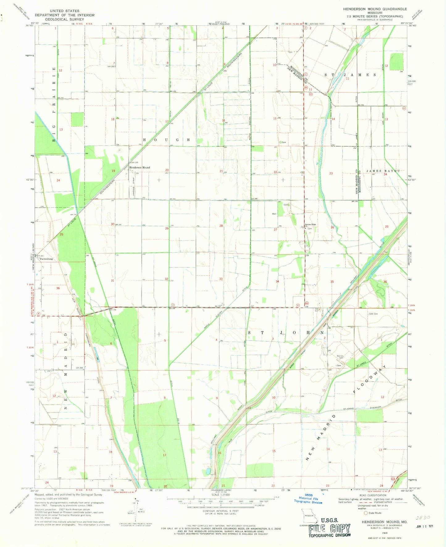
Classic USGS Henderson Mound Missouri 7.5'x7.5' Topo Map
Couldn't load pickup availability
Historical USGS topographic quad map of Henderson Mound in the state of Missouri. Map scale may vary for some years, but is generally around 1:24,000. Print size is approximately 24" x 27"
This quadrangle is in the following counties: Mississippi, New Madrid.
The map contains contour lines, roads, rivers, towns, and lakes. Printed on high-quality waterproof paper with UV fade-resistant inks, and shipped rolled.
Contains the following named places: Barnes Cemetery, Barnes Ridge, Barnes Ridge Church, Barnes Ridge School, Black Bayou, Coal Oil Ditch, Cole Cemetery, Ditch Number 10, Henderson Mound, Henderson Mounds E B G Airport, Huff School, Peck and Imhoff, Pioneer, Selkirk, Township of Hough, Walnut Grove School