MyTopo
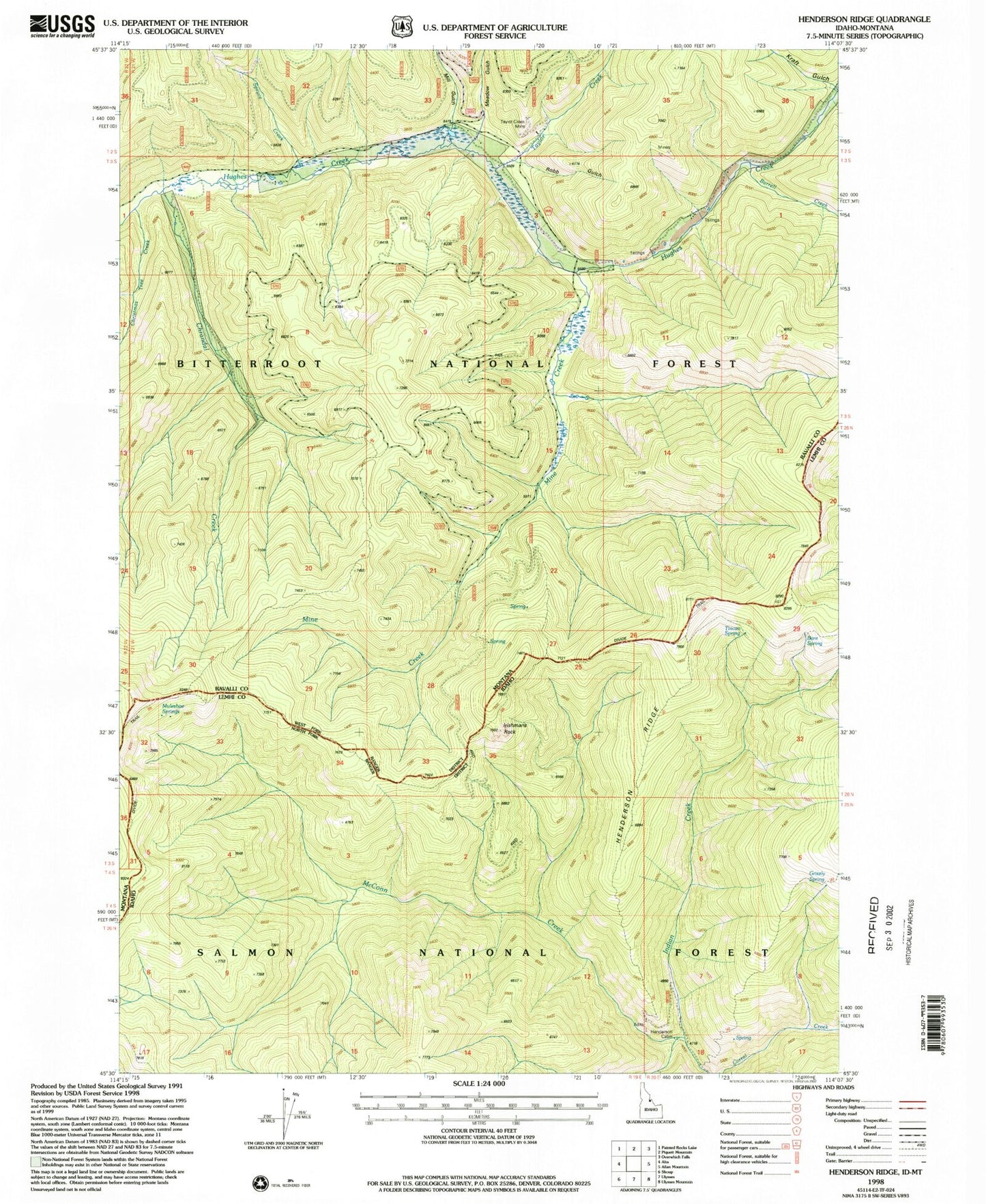
Classic USGS Henderson Ridge Idaho 7.5'x7.5' Topo Map
Couldn't load pickup availability
Historical USGS topographic quad map of Henderson Ridge in the states of Idaho, Montana. Map scale may vary for some years, but is generally around 1:24,000. Print size is approximately 24" x 27"
This quadrangle is in the following counties: Lemhi, Ravalli.
The map contains contour lines, roads, rivers, towns, and lakes. Printed on high-quality waterproof paper with UV fade-resistant inks, and shipped rolled.
Contains the following named places: Bare Spring, Burrell Creek, Chrandal Creek, Christmas Tree Creek, Grizzly Spring, Henderson Cabin, Henderson Ridge, Hughes Creek Placer Mine, Irishmans Rock, Kraft Gulch, McConn Creek, Meadow Gulch, Mill Gulch, Mine Creek, Muleshoe Springs, Robb Gulch, Spruce Creek, Taylor Creek, Taylor Creek Mine, Tincan Spring