MyTopo
Classic USGS Hendrickson Coulee Montana 7.5'x7.5' Topo Map
Couldn't load pickup availability
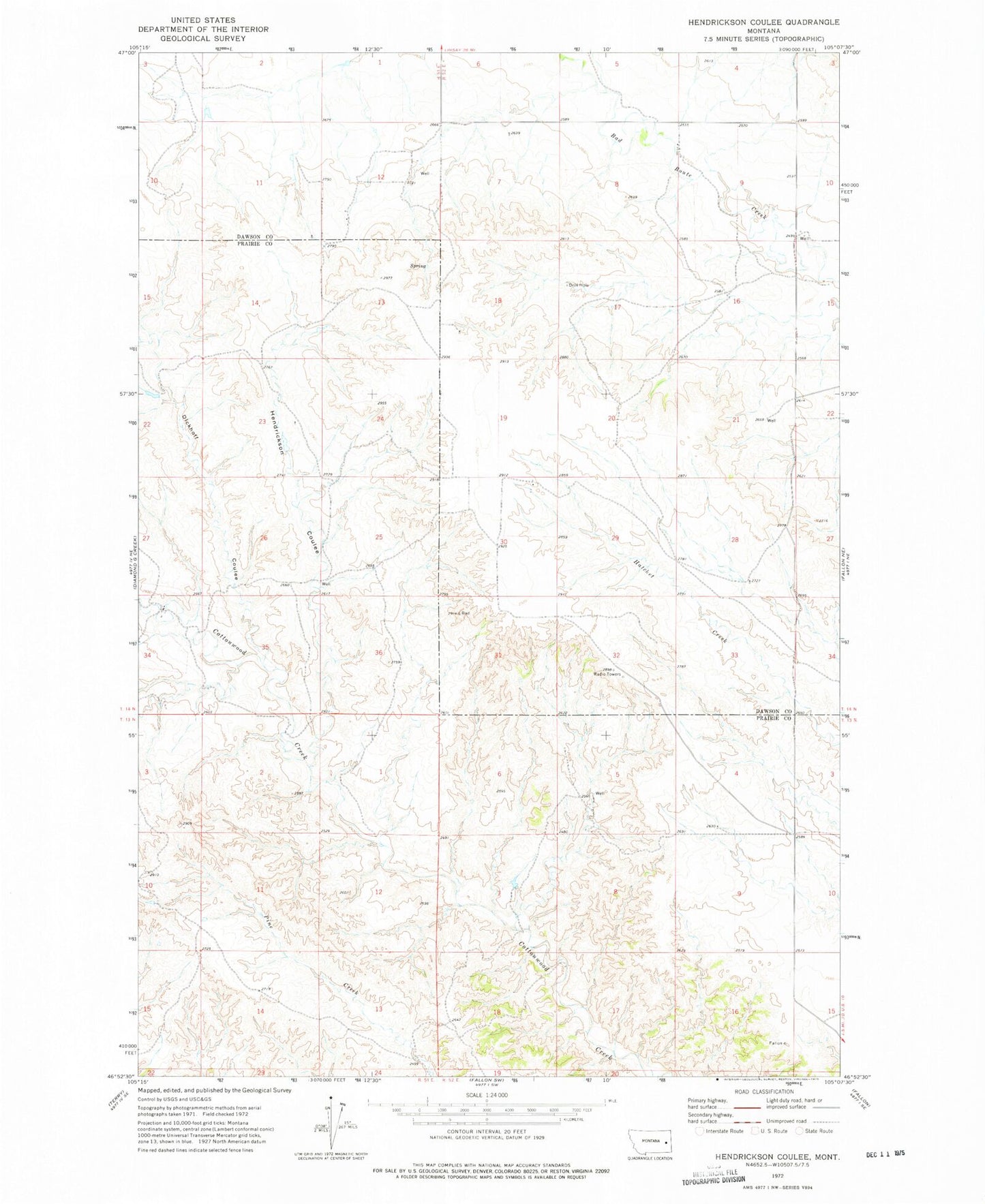
Historical USGS topographic quad map of Hendrickson Coulee in the state of Montana. Map scale may vary for some years, but is generally around 1:24,000. Print size is approximately 24" x 27"
This quadrangle is in the following counties: Dawson, Prairie.
The map contains contour lines, roads, rivers, towns, and lakes. Printed on high-quality waterproof paper with UV fade-resistant inks, and shipped rolled.
Contains the following named places: 13N52E03BACA01 Well, 13N52E05CACB01 Well, 14N51E11DDDC01 Well, 14N51E26DDAD01 Well, 14N52E08AADA01 Well, 14N52E18CCAB01 Well, 14N52E28DCBD01 Well, Bad Route Creek Bridge, Dickoff Coulee, Dickoff Creek, Echo Ridge School, Hendrickson Coulee, Lincoln School, Mallett School, Nothnagel School, Sheepshead Bluffs