MyTopo
Classic USGS Henlawson West Virginia 7.5'x7.5' Topo Map
Couldn't load pickup availability
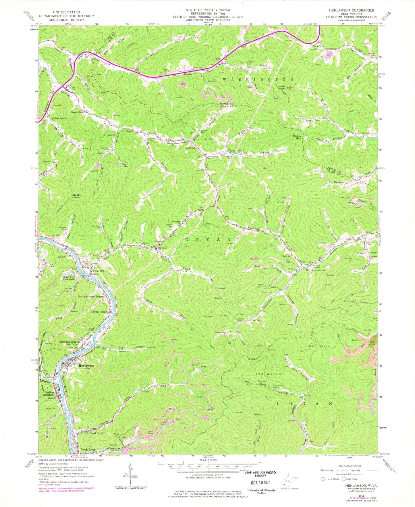
Historical USGS topographic quad map of Henlawson in the state of West Virginia. Map scale may vary for some years, but is generally around 1:24,000. Print size is approximately 24" x 27"
This quadrangle is in the following counties: Boone, Logan.
The map contains contour lines, roads, rivers, towns, and lakes. Printed on high-quality waterproof paper with UV fade-resistant inks, and shipped rolled.
Contains the following named places: Albright Cemetery, Aleshire Branch, Anchor, Baldwin Cemetery, Baldwin Fork, Balls Branch, Barker Cemetery, Barker Fork, Barker Fork Church, Barker Gap, Barker School, Bell Cemetery, Big Branch, Big Dark Hollow, Bills Branch, Broad Hollow, Buffalo Creek, Butch Fork, Cloverlick Branch, Covey Cemetery, Craddock Cemetery, Craddock Fork, Crooked Creek, Crooked Creek Census Designated Place, Crooked Creek School, Curry Fork, Dent Fork, Dog Fork, Ellis Branch, Forest Lawn Cemetery, Fowler Cemetery, Garrett Cemetery, Garrett Chapel, Garrett Fork Church, Godby Knob, Gore Fork, Guyan Terrace, Hager Cemetery, Hainer Branch, Hainer Cemetery, Henlawson, Henlawson Census Designated Place, Henlawson Post Office, Henlawson Thru Truss Bridge, Henlawson Volunteer Fire Department, Hill Cemetery, Homer D Nelson Bridge, Huffman Cemetery, Hurricane Branch, Hyer Lake, Isom Branch, Jims Branch, Justice Addition, Justice Addition Census Designated Place, Justice Cemetery, Justice Elementary School, Kanawha Branch, King Shoal Branch, Lake, Lake Branch, Lake Church, Lake Elementary School, Lake Post Office, Lake Volunteer Fire Department, Lane School, Little Dark Hollow, Long Fork, Manila, Manila School, Meadow Fork Church, Meetinghouse Branch, Mill Creek, Mill Creek Church, Mill Creek School, Miller Cemetery, Mitchell Cemetery, Mitchell Heights, Mitchell Heights Police Department, Mount Mission Church, Mount Zion Church, Neds Branch, North Mitchell Heights, Peach Creek Census Designated Place, Peach Creek Dam, Peach Creek Impoundment, Peach Creek Post Office, Peach Creek Public School, Pecks Mill, Pecks Mill Post Office, Perrys Branch, Pine Fork, Piney Knob, Piney Knob Lookout Tower, Price Branch, Raccoon Branch, Ralumco, Richardson Cemetery, Ridge View Twin Lakes, Rocklick Branch, Sander Cemetery, Sanders Cemetery, Snap Creek, Stable Branch, Stevens Chapel, Stowers Cemetery, Sycamore Branch, Town of Mitchell Heights, Trace Fork, Verner-Ball Cemetery, Victory Church, Wheatley Branch, Wheatley Branch Church, Workman Cemetery, ZIP Codes: 25108, 25121, 25547, 25624, 25639