MyTopo
Classic USGS Henly Texas 7.5'x7.5' Topo Map
Couldn't load pickup availability
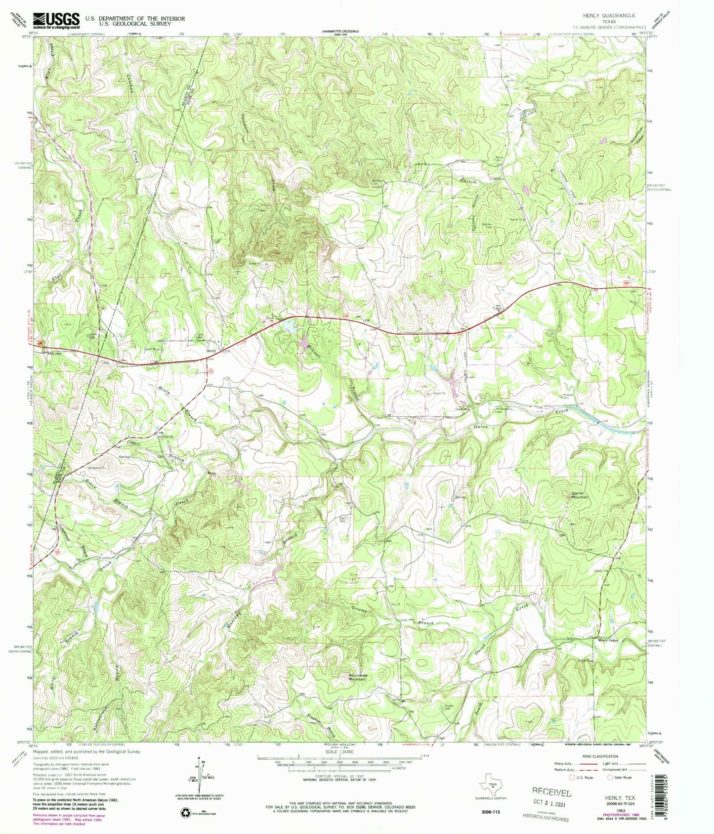
Historical USGS topographic quad map of Henly in the state of Texas. Typical map scale is 1:24,000, but may vary for certain years, if available. Print size: 24" x 27"
This quadrangle is in the following counties: Blanco, Hays.
The map contains contour lines, roads, rivers, towns, and lakes. Printed on high-quality waterproof paper with UV fade-resistant inks, and shipped rolled.
Contains the following named places: Cadell Branch, Cottonwood Branch, Dye Cemetery, Eskew Branch, Gainor Mountain, Grooms Branch, Henly Branch, Henly Cemetery, Martin Cemetery, McKellar Cemetery, Middlebrooks Cemetery, Millseat Branch, Moore Cemetery, Mustang Branch, Pursley Cemetery, Rattlesnake Hollow, Roundtree Mountain, Sprouse Cemetery, Sprouse Hollow, White Branch, Henly, Mount Gainor, Bleakley Ranch Airport, Halm Ranch Airport (historical), Reeves Lake Dam, Reeves Lake, Dripping Sprins Middle School, Sunset Canyon Baptist Church, Dripping Springs Community Church, Henly Volunteer Fire Department Station 3


