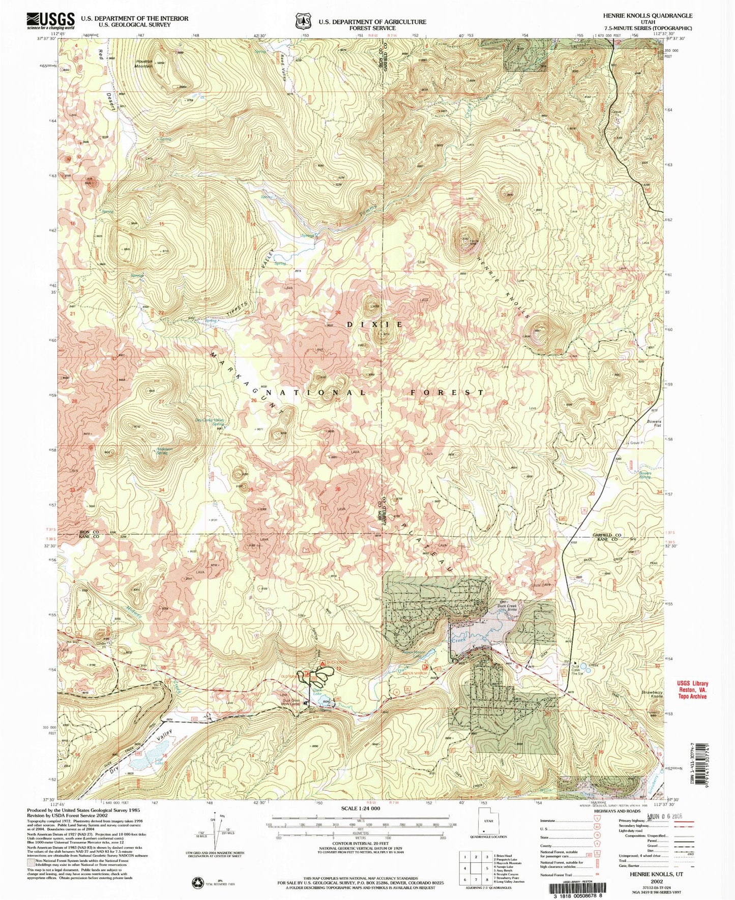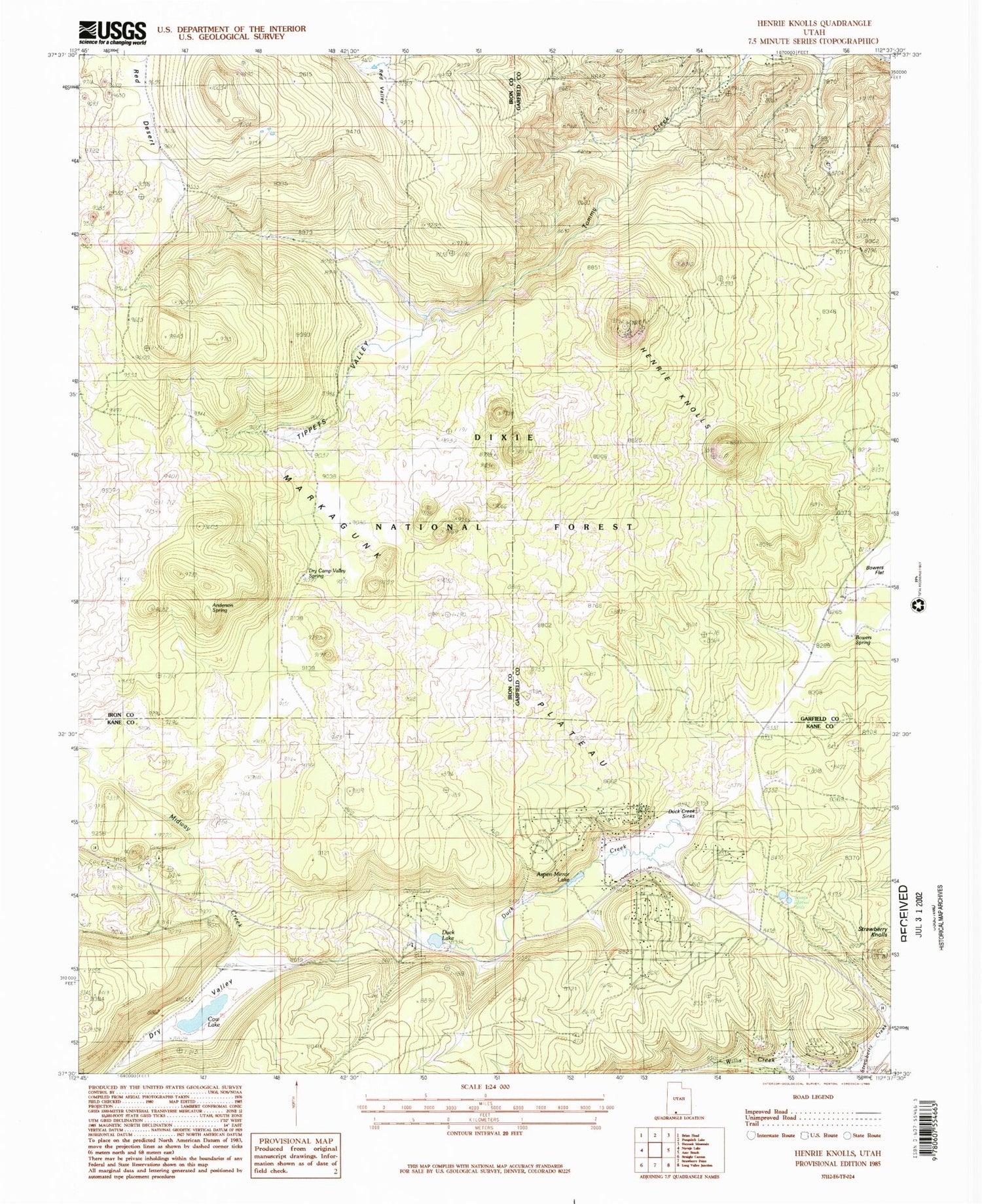
MyTopo
Classic USGS Henrie Knolls Utah 7.5'x7.5' Topo Map
Couldn't load pickup availability
Historical USGS topographic quad map of Henrie Knolls in the state of Utah. Typical map scale is 1:24,000, but may vary for certain years, if available. Print size: 24" x 27"
This quadrangle is in the following counties: Garfield, Iron, Kane.
The map contains contour lines, roads, rivers, towns, and lakes. Printed on high-quality waterproof paper with UV fade-resistant inks, and shipped rolled.
Contains the following named places: Duck Creek, Anderson Spring, Aspen-Mirror Lake, Bowers Spring, Cow Lake, Dry Camp Valley Spring, Duck Creek Sinks, Duck Lake, Henrie Knolls, Houston Mountain, Tippets Valley, Reed Valley, Midway Creek, Bowers Flat, Dry Valley, Red Desert, Strawberry Knolls, Duck Creek Work Center, Markagunt Plateau, Duck Creek Campground, Duck Creek Village Campground, Duck Creek Forest Service Station, Reed Valley, Duck Creek Village, High Meadow Ranch Airport, Cedar Mountain Fire Protection District Station 1