MyTopo
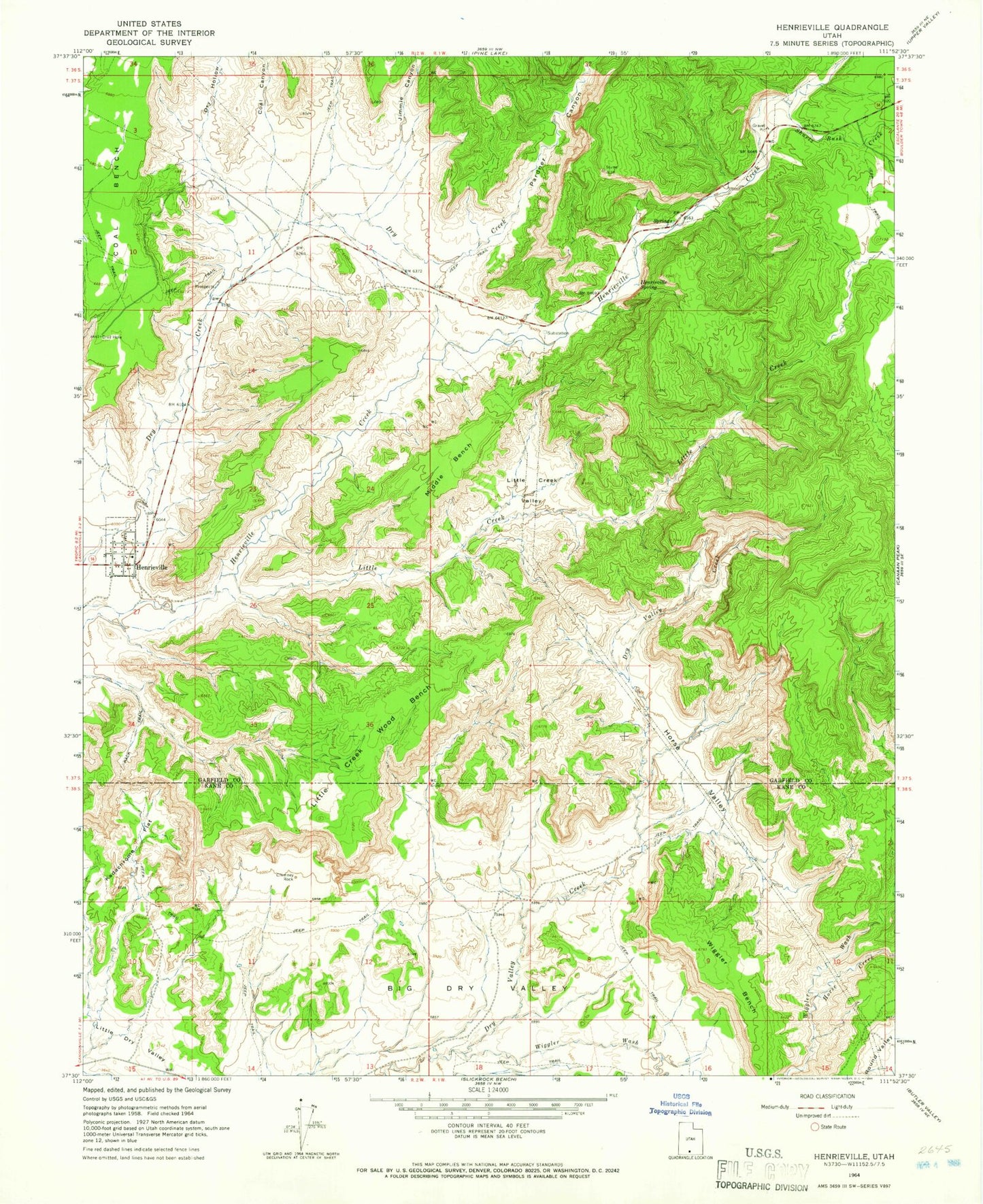
Classic USGS Henrieville Utah 7.5'x7.5' Topo Map
Couldn't load pickup availability
Historical USGS topographic quad map of Henrieville in the state of Utah. Map scale may vary for some years, but is generally around 1:24,000. Print size is approximately 24" x 27"
This quadrangle is in the following counties: Garfield, Kane.
The map contains contour lines, roads, rivers, towns, and lakes. Printed on high-quality waterproof paper with UV fade-resistant inks, and shipped rolled.
Contains the following named places: Big Dry Valley, Chimney Rock, Coal Bench, Coal Canyon, Dry Hollow, Henrieville, Henrieville Post Office, Henrieville Volunteer Fire Department, Horse Creek, Horse Valley, Jimmie Canyon, Kodachrome Basin Campground, Kodachrome Flat, Little Creek, Little Creek Valley, Little Creek Wood Bench, Middle Bench, Pardner Canyon, Shurtz Bush Creek, The Church of Jesus Christ of Latter Day Saints, Wiggler Bench, Wiggler Wash, ZIP Code: 84736