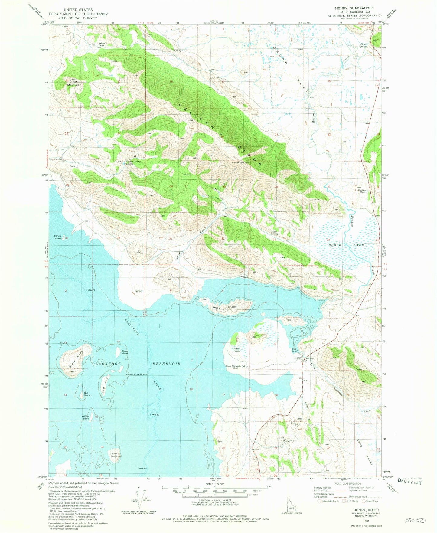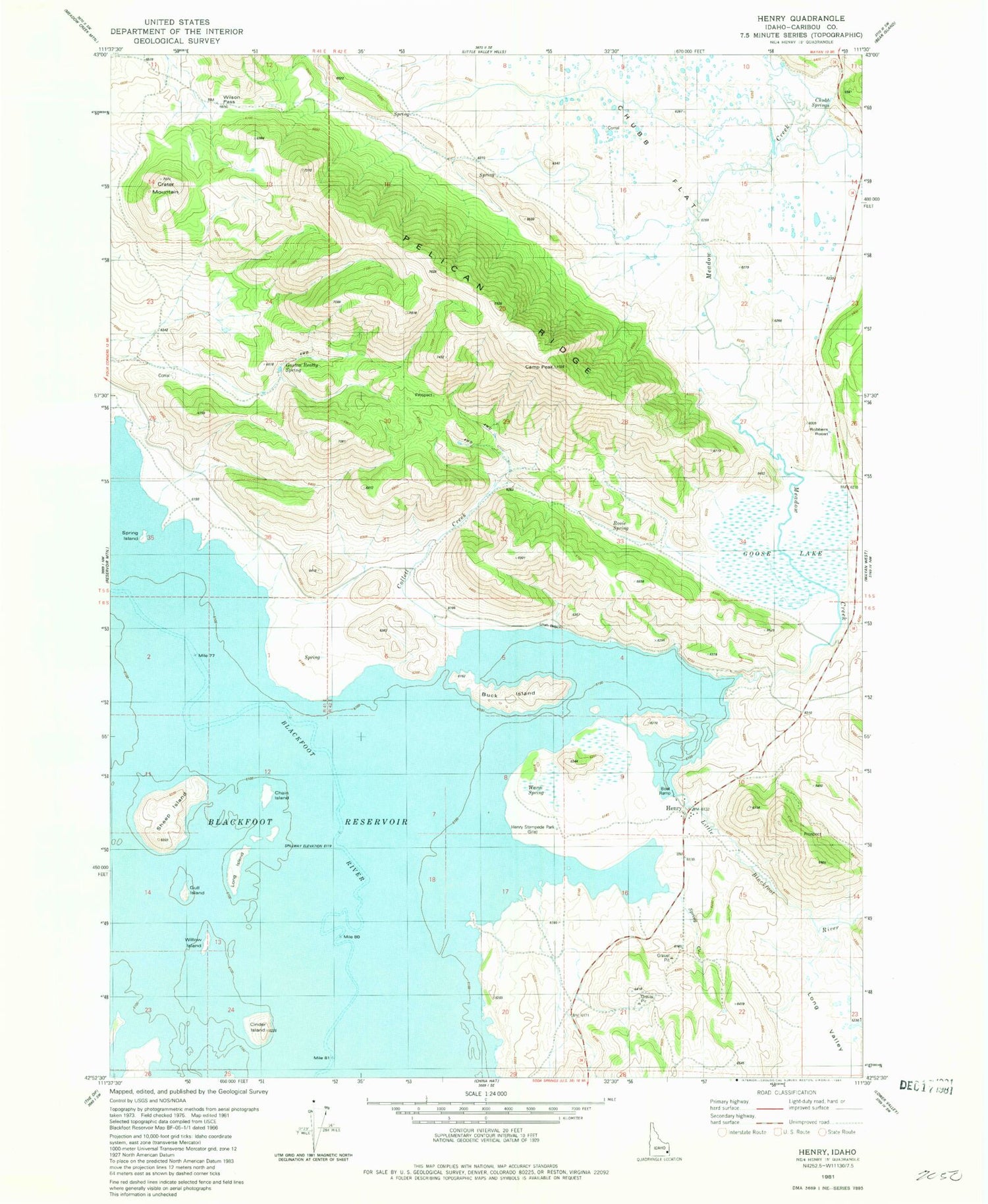
MyTopo
Classic USGS Henry Idaho 7.5'x7.5' Topo Map
Couldn't load pickup availability
Historical USGS topographic quad map of Henry in the state of Idaho. Map scale may vary for some years, but is generally around 1:24,000. Print size is approximately 24" x 27"
This quadrangle is in the following counties: Caribou.
The map contains contour lines, roads, rivers, towns, and lakes. Printed on high-quality waterproof paper with UV fade-resistant inks, and shipped rolled.
Contains the following named places: Blackfoot Reservoir, Buck Island, Camp Peak, Chain Island, Chubb Flat, Chubb Springs, Cinder Island, Collett Creek, Crater Mountain, Gaston Beatty Spring, Goose Lake, Gull Island, Henry, Henry Stampede Park, Little Blackfoot River, Long Island, Long Valley, Meadow Creek, Pelican Ridge, Robbers Roost, Rosie Spring, Sheep Island, Spring Island, Warm Spring, Willow Island, Wilson Pass