MyTopo
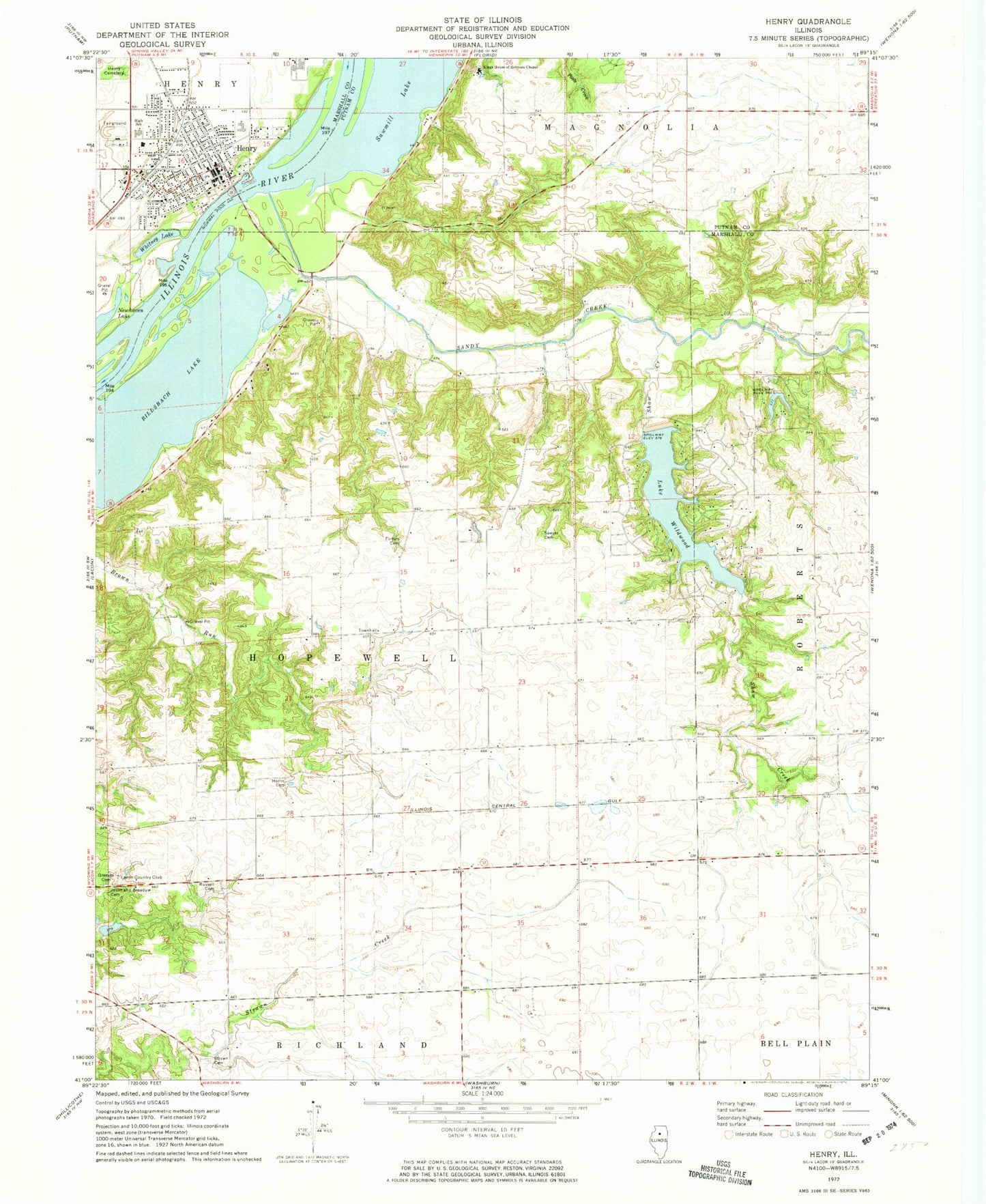
Classic USGS Henry Illinois 7.5'x7.5' Topo Map
Couldn't load pickup availability
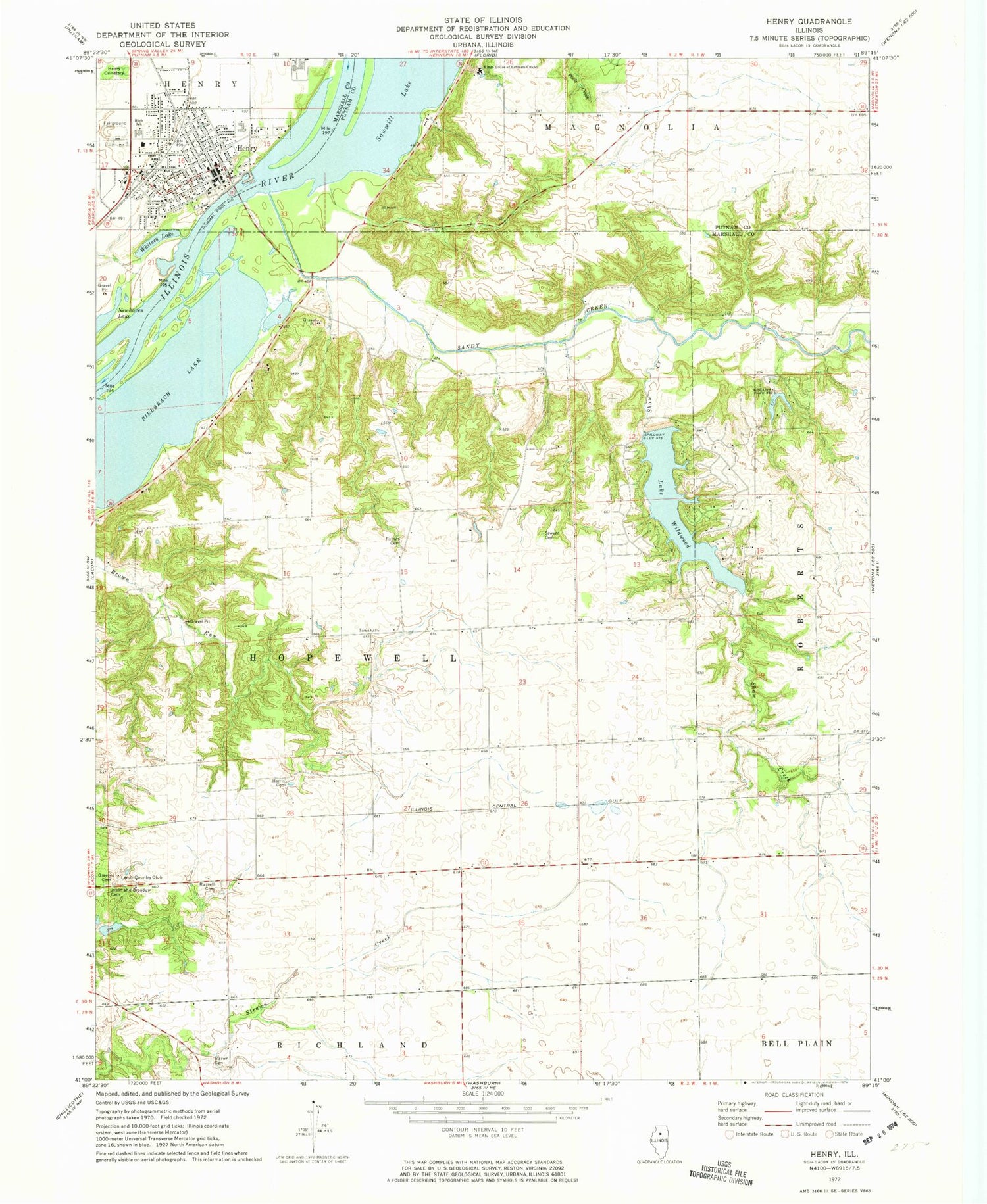
Historical USGS topographic quad map of Henry in the state of Illinois. Typical map scale is 1:24,000, but may vary for certain years, if available. Print size: 24" x 27"
This quadrangle is in the following counties: Marshall, Putnam.
The map contains contour lines, roads, rivers, towns, and lakes. Printed on high-quality waterproof paper with UV fade-resistant inks, and shipped rolled.
Contains the following named places: Billsbach Lake, Forbes Cemetery, Greeves Cemetery, Harris Cemetery, Henry, Henry Cemetery, Jason and Broadus Cemetery, Kings House of Retreats Chapel, Newhaven Lake, Russell Cemetery, Sandy Creek, Sawmill Lake, Sawyer Cemetery, Shaw Creek, Strawn Cemetery, Whitney Lake, Lake Wildwood, Marshall County, Lacon Country Club, WRVY-FM (Henry), Township of Hopewell, Wildwood Lake Dam, Lake Tanglewood Dam, Lake Tanglewood, Barnes Lake Dam, Barnes Lake, Sawyer School (historical), Harmony School (historical), Shaws Point School (historical), Held, Tax School (historical), Marshall School (historical), Hopewell Townhall, Henry-Senachwine High School, Henry-Senachwine Grade School, Caledonia (historical), George S Park Memorial Woods Nature Preserve, City of Henry, Henry Fire Protection District, Henry Community Ambulance Service, Henry Police Department, Henry Post Office


