MyTopo
Classic USGS Henry South Carolina 7.5'x7.5' Topo Map
Couldn't load pickup availability
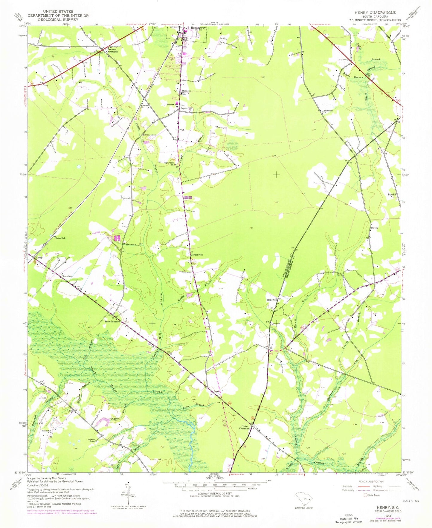
Historical USGS topographic quad map of Henry in the state of South Carolina. Map scale may vary for some years, but is generally around 1:24,000. Print size is approximately 24" x 27"
This quadrangle is in the following counties: Georgetown, Williamsburg.
The map contains contour lines, roads, rivers, towns, and lakes. Printed on high-quality waterproof paper with UV fade-resistant inks, and shipped rolled.
Contains the following named places: Barnhill, Bethel School, Brockington Pond, Brockington Pond Dam D-3100, Brunson Crossroads, Burnett Swamp, Campbell Swamp, Caney Branch, Cedar Branch, Chandlers, Chavis Church, Chavis Elementary School, Chavis School, Church Branch, Cook, Cook Fire Tower, Gordonville, Harmon Cemetery, Headless Creek, Hemingway Division, Hemingway High School, Henry, Henry Church, Hopewell, Hopewell Church, Hopewell School, Hughs Branch, Island Branch, Johnson Branch, Johnson Hospital, Manbess Church, Matthews Church, Owens, Pentecostal Church, Pittman Branch, Poplar Hill, Poplar Hill Branch, Poplar Hill Cemetery, Poplar Hill Church, Rome, Rome Branch, Sand Hill Church, Shavers School, Snow Branch, Snow Junction, Squirrel Run, Thompson Church, Union Cemetery, Union Church, Union Crossroads, Union Public School, Union School, Walden Branch, Waterman Branch, WKYB-AM (Hemingway), ZIP Code: 29554


