MyTopo
Classic USGS Henry Tennessee 7.5'x7.5' Topo Map
Couldn't load pickup availability
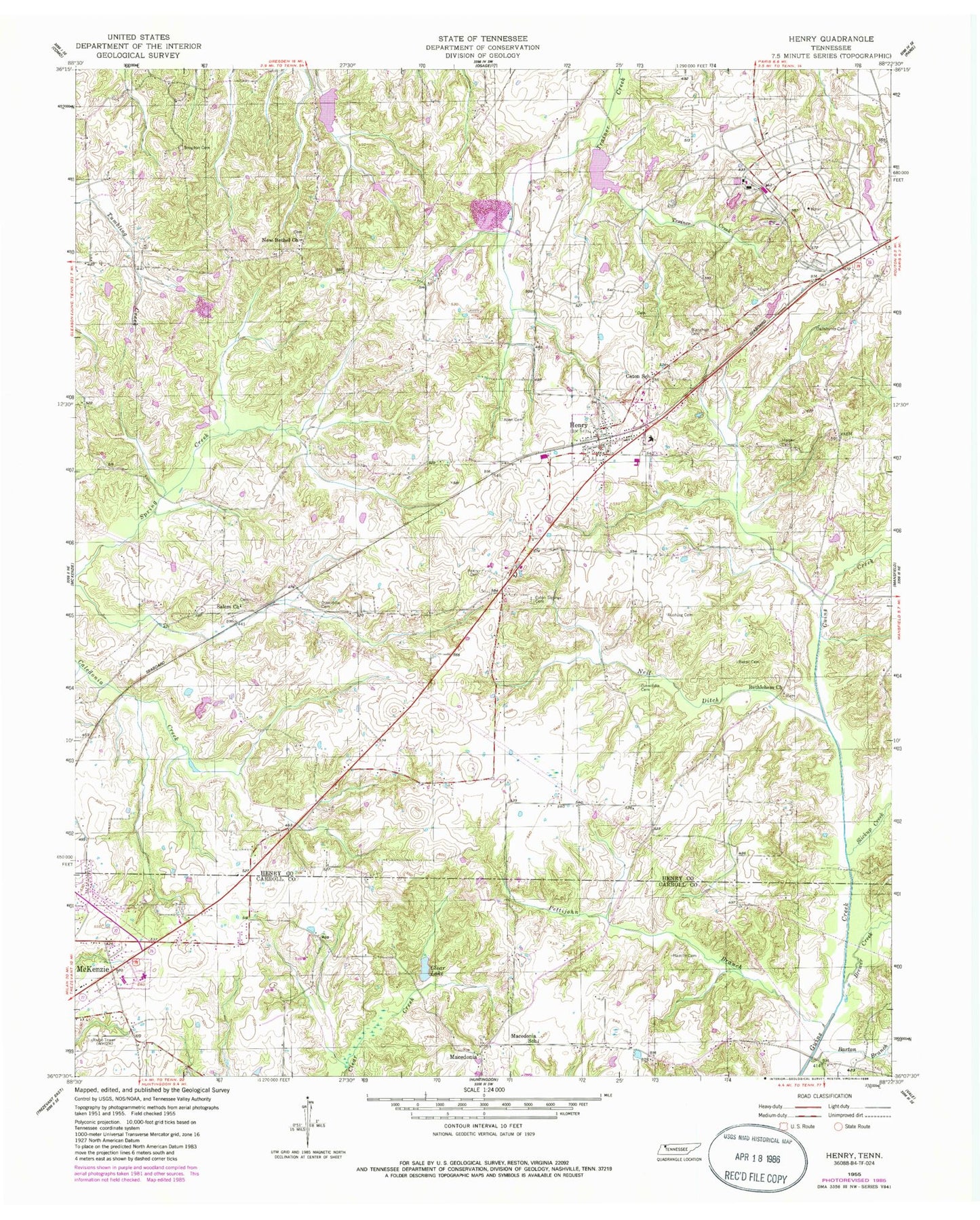
Historical USGS topographic quad map of Henry in the state of Tennessee. Map scale may vary for some years, but is generally around 1:24,000. Print size is approximately 24" x 27"
This quadrangle is in the following counties: Carroll, Henry.
The map contains contour lines, roads, rivers, towns, and lakes. Printed on high-quality waterproof paper with UV fade-resistant inks, and shipped rolled.
Contains the following named places: Allen Cemetery, Atkin Cemetery, Baker Cemetery, Barton Branch, Bethlehem Cemetery, Bethlehem Church, Bird-Miller Cemetery, Blanchett Cemetery, Bostick Cemetery, Bowden Cemetery, Bowers Cemetery, Brewer Creek, Brogdon Cemetery, Caledonia School, Carroll County Rural Fire Department District 10 Macedonia, Carter Cemetery, Caton School, Caton Springs Cemetery, Clear Lake, Cope Cemetery, Covington Wall Cemetery, Dellahunty Cemetery, Dinwiddie Cemetery, H C Spinks Company Lake, H C Spinks Company Lake Dam, Halls Chapel School, Hamlin Cemetery, Harper Cemetery, Henry, Henry Baptist Church, Henry Cemetery, Henry Division, Henry Elementary School, Henry Post Office, Henry Volunteer Fire Department, Irby Cemetery, Liberty School, Macedonia, Macedonia Community Center, Macedonia School, McKenzie Regional Hospital, Middle Fork Obion Dam Number Seven, Middle Fork Obion Lake Number Seven, Middle Fork Obion River Number Nine Dam, Middle Fork Obion River Number Nine Lake, Mount Zion Church, Neal Cemetery, Neil Ditch, New Bethel Cemetery, New Bethel Church, Old Salem Cemetery, Perry Cemetery, Perry School, Pettijohn Branch, Rice School, Rushing Cemetery, Salem, Salem Church, Salem School, Slickup Creek, Tennessee Department of Agriculture Division of Forestry Routin, Town of Henry, Wallace Cemetery, WHDM-AM (McKenzie), Wiseman Cemetery, Yarbrough Store, ZIP Code: 38231


