
MyTopo
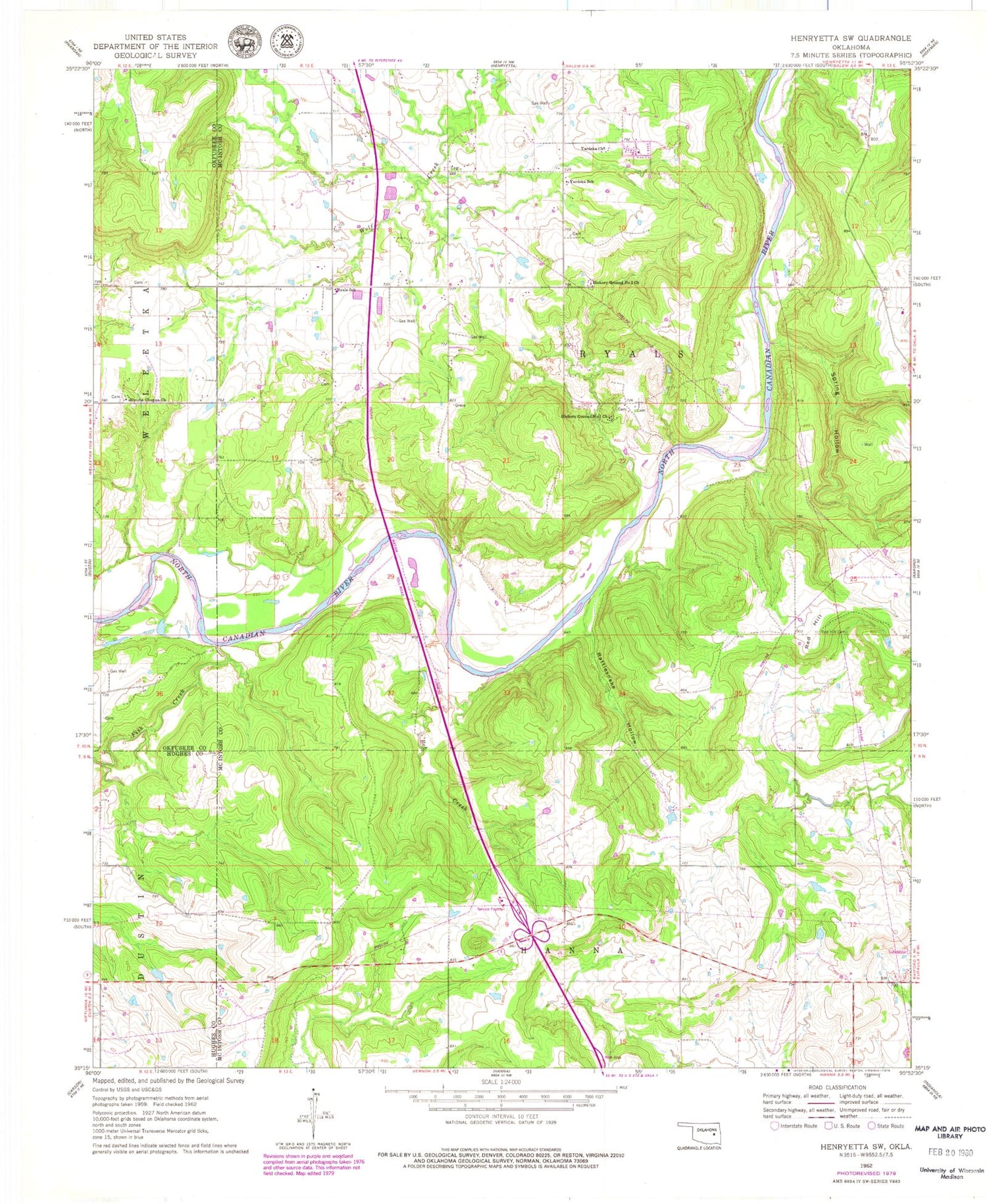
Classic USGS Henryetta SW Oklahoma 7.5'x7.5' Topo Map
Couldn't load pickup availability
Historical USGS topographic quad map of Henryetta SW in the state of Oklahoma. Map scale may vary for some years, but is generally around 1:24,000. Print size is approximately 24" x 27"
This quadrangle is in the following counties: Hughes, McIntosh, Okfuskee.
The map contains contour lines, roads, rivers, towns, and lakes. Printed on high-quality waterproof paper with UV fade-resistant inks, and shipped rolled.
Contains the following named places: Bob Creek, Fish Creek, Hanna Division, Hickory Ground Number 1 Church, Hickory Ground Number 2 Church, Hutche Chuppa Church, Rattlesnake Hollow, Red Hill, Red Hill Cemetery, Ryal Elementary School, Spring Hollow, Stidham Creek, Township of Ryals, Yardeka Church, Yardeka School


