MyTopo
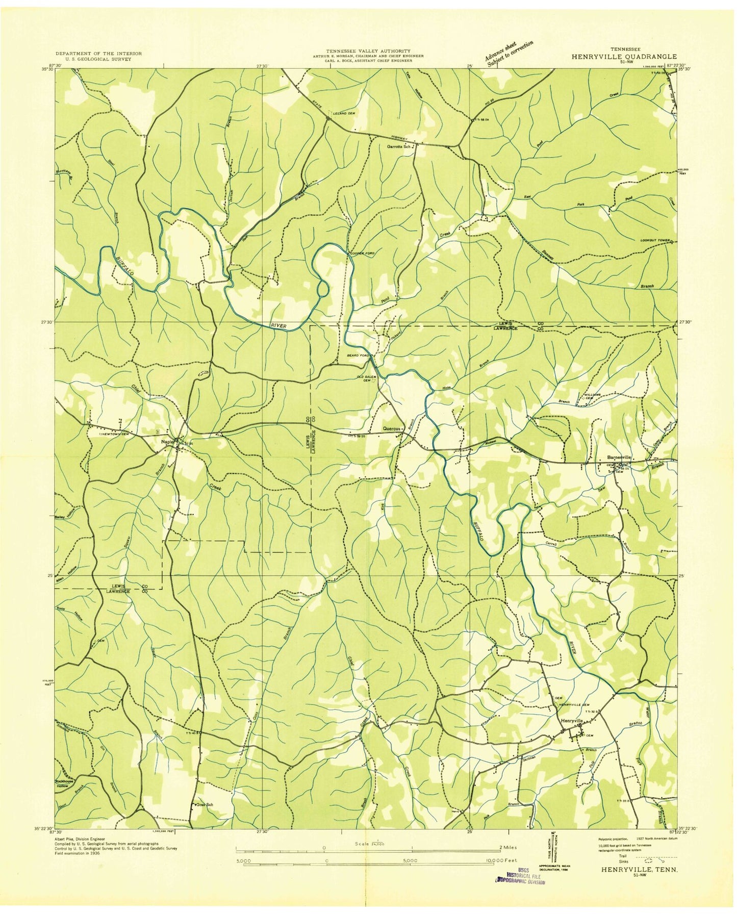
Classic USGS Henryville Tennessee 7.5'x7.5' Topo Map
Couldn't load pickup availability
Historical USGS topographic quad map of Henryville in the state of Tennessee. Map scale may vary for some years, but is generally around 1:24,000. Print size is approximately 24" x 27"
This quadrangle is in the following counties: Lawrence, Lewis.
The map contains contour lines, roads, rivers, towns, and lakes. Printed on high-quality waterproof paper with UV fade-resistant inks, and shipped rolled.
Contains the following named places: Barnesville, Barnesville Baptist Church, Barnesville Cemetery, Barnesville Methodist Church, Baugus Chapel, Beard Ford, Bennett Branch, Brock Cemetery, Brush Creek, Camp Branch, Carrell Branch, Commissioner District 12, Cooper Ford, Dan Maddox Dam, Dan Maddox Fishing Lake, Dan Maddox Fishing Lake Dam, Dan Maddox Lake, Dubowich Bank Prospect, Durham Branch, East Fork Pond Creek, East Lewis Division, Frank Smith Prospect, Garrett School, Goss Branch, Goss School, Hale Bank Prospect, Hale Branch, Ham Bend, Henryville, Henryville Cemetery, Henryville Church of Christ, Henryville Methodist Church, Henryville School, Henryville Volunteer Fire Department, Hicks Branch, Himes Cemetery, Hollow Spring, Kirk Branch, Lindauer, McLishs Stand, Metal Ford, Napier, Napier Cemetery, Napier Furnaces Historic District, Napier Iron Works, Napier Mine Number One, Napier Mine Number Two, Napier School, Newtown Cemetery, Niemann Cemetery, Nomeet Branch, Old Henryville Cemetery, Old Salem Cemetery, Pennington Cemetery, Pickard Branch, Polk Branch, Pond Creek, Quercus, Saddler Bend, Saw Creek, Skillman Branch, Skillman Spring, Squaw Branch, Steel Branch, Steeles Iron Works, Sugar Camp Hollow, Summertown Lookout Tower, Water Fork, Williams Cemetery


