MyTopo
Classic USGS Hephzibah Georgia 7.5'x7.5' Topo Map
Couldn't load pickup availability
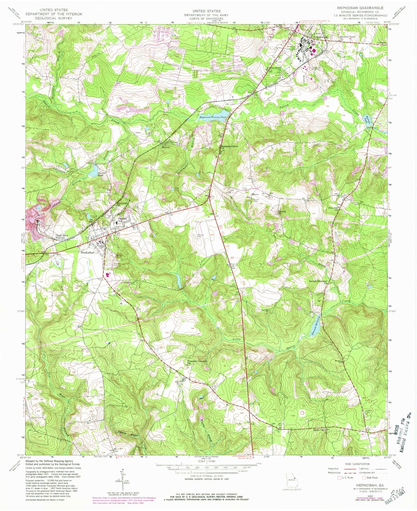
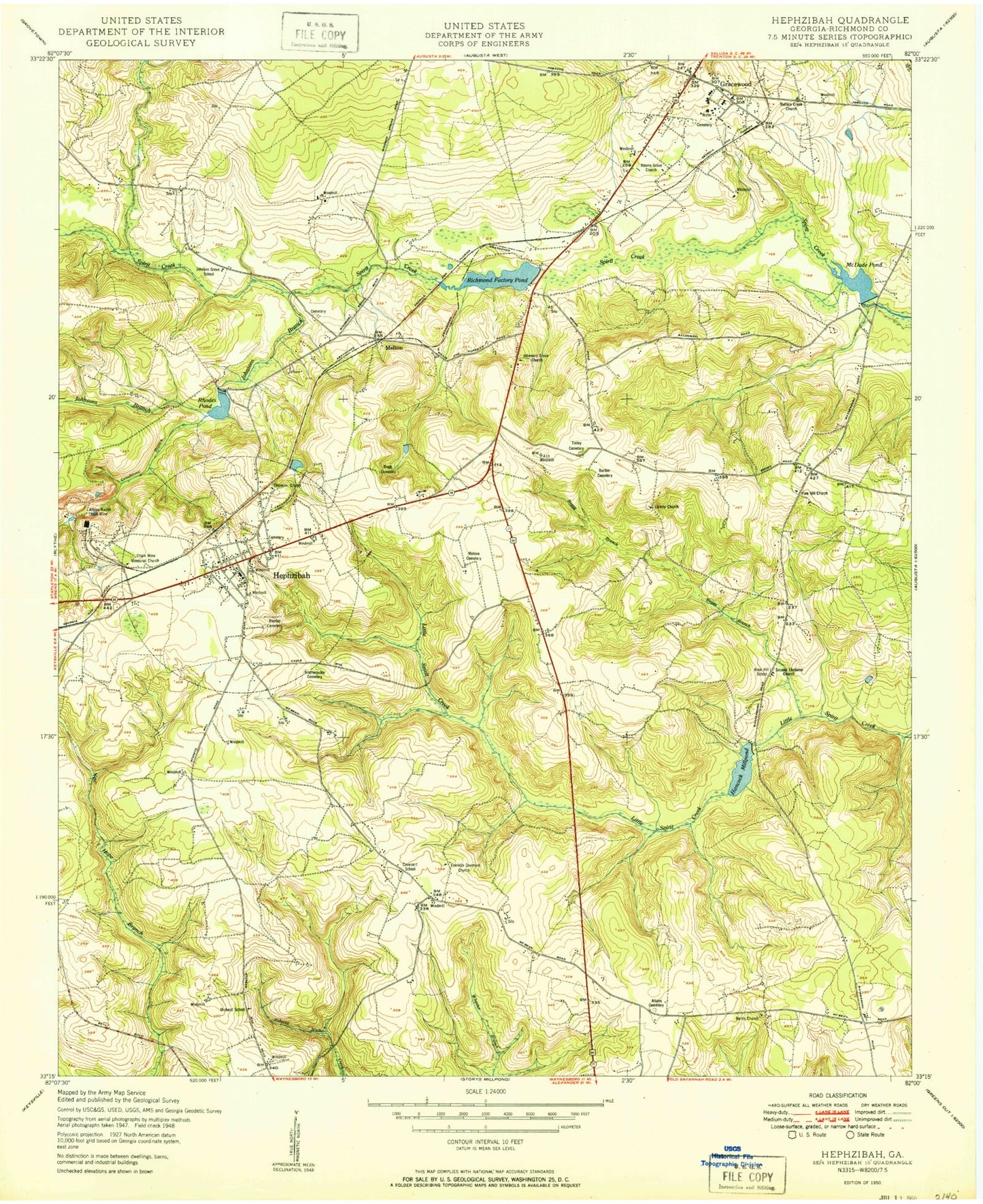
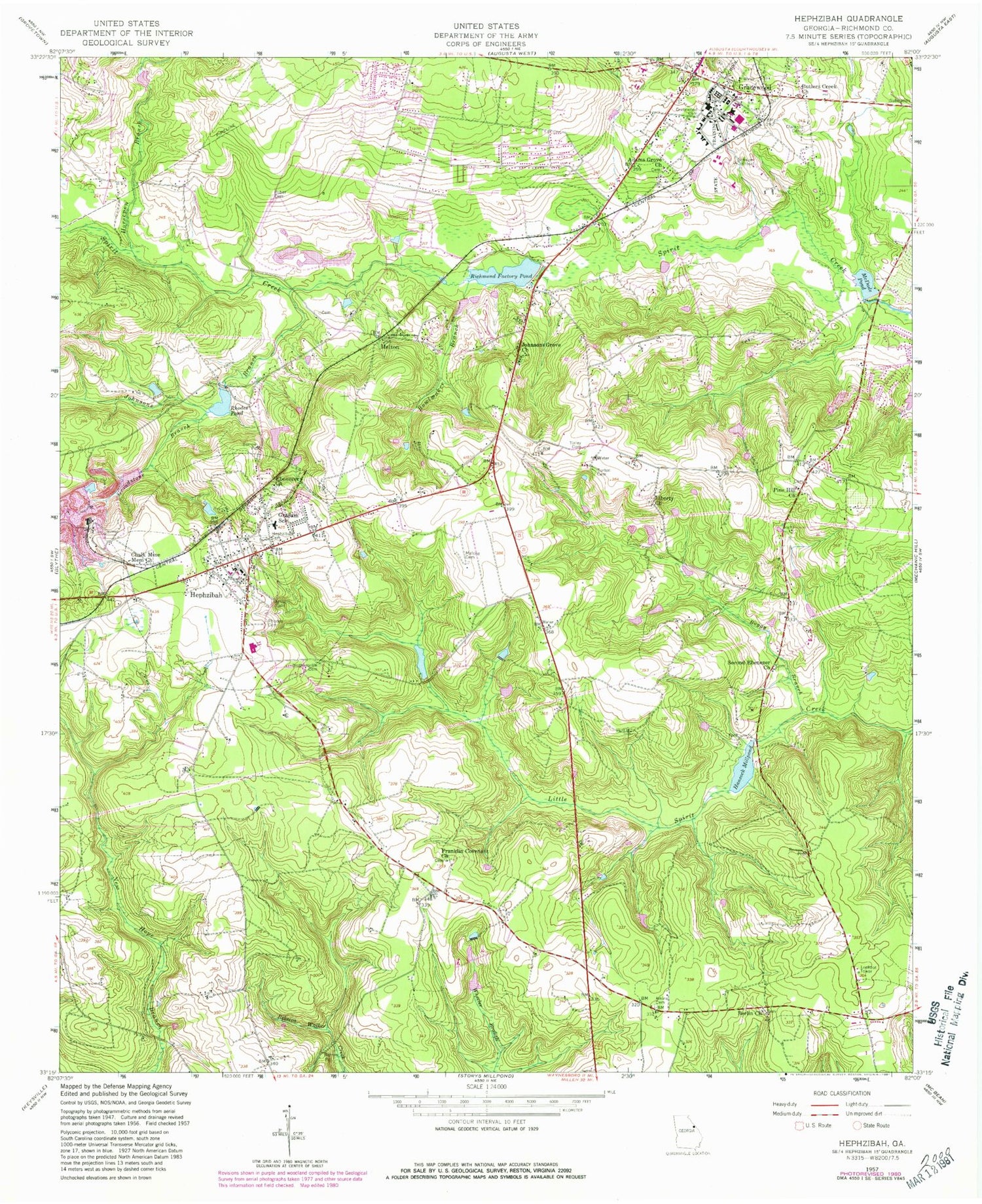
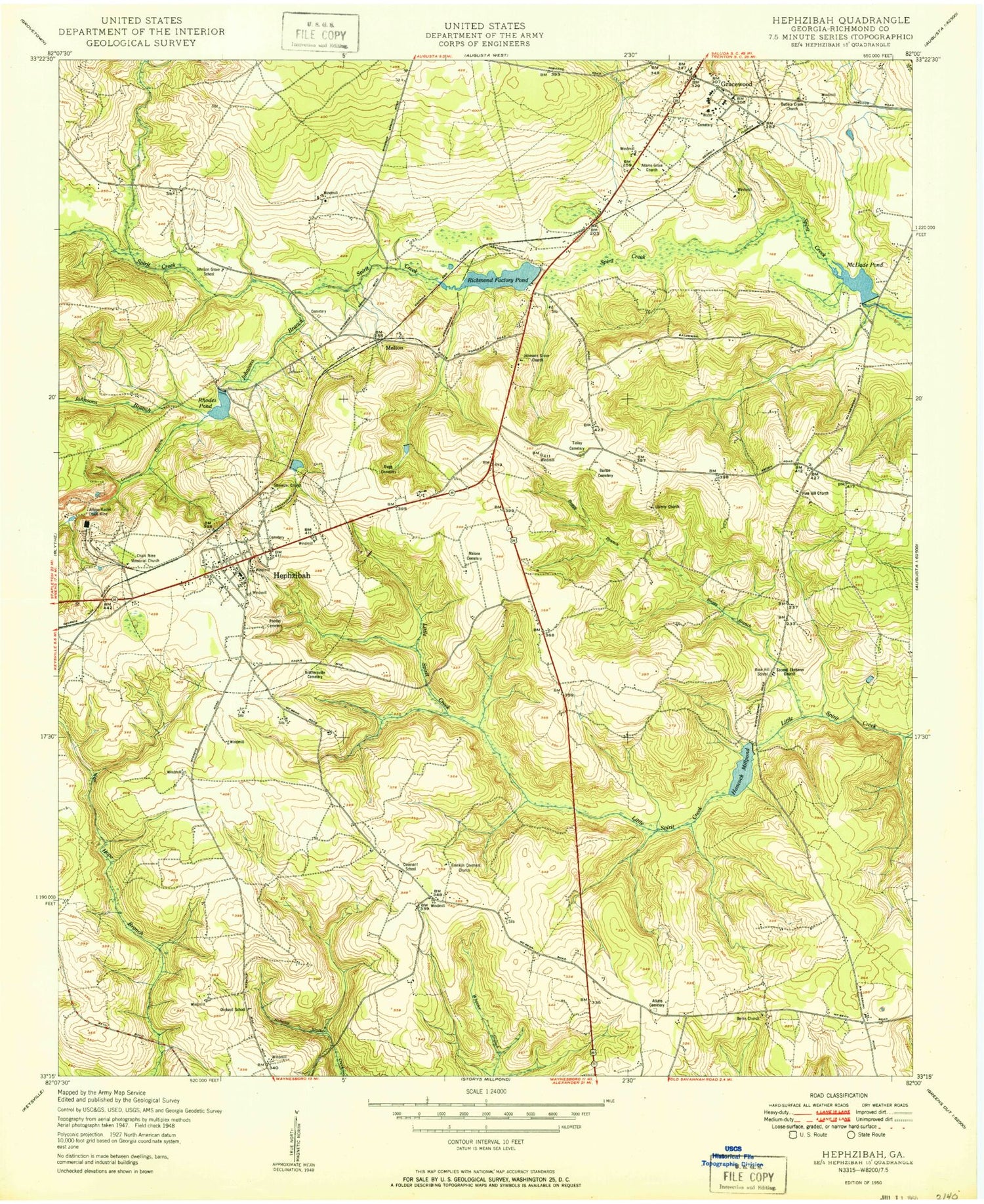
Historical USGS topographic quad map of Hephzibah in the state of Georgia. Map scale may vary for some years, but is generally around 1:24,000. Print size is approximately 24" x 27"
This quadrangle is in the following counties: Richmond.
The map contains contour lines, roads, rivers, towns, and lakes. Printed on high-quality waterproof paper with UV fade-resistant inks, and shipped rolled.
Contains the following named places: Adams Grove Church, Atkins - Winter Cemetery, Augusta Fire Department Station 18, Augusta Fire Station 19, Augusta Racetrack, Babcock Wilcox Lake, Babcock Wilcox Lake Dam, Berlin Church, Berlin School, Boggy Branch, Bowlmaker Branch, Brothersville Cemetery, Burton Cemetery, Butlers Creek Church, Bynes Chapel School, Carrolls Lake, Carrolls Lake Dam, Chalk Mine Memorial Church, City of Hephzibah, Clanton Cemetery, Consolidated Government of Augusta-Richmond County, Consolidated Government of Augusta-Richmond County (Balance), Covenant School, DeBruce, East Central Regional Hospital Gracewood Campus, Ebenezer Church, Franklin Covenant Church, Gracewood, Gracewood Cemetery, Gracewood Division, Gracewood Elementary School, Gracewood Post Office, Gracewood State School, Graham School, Grindstone Branch, Hancock Millpond, Hancock Millpond Dam, Hephzibah, Hephzibah Cemetery, Hephzibah Comprehensive High School, Hephzibah Division, Hephzibah Elementary School, Hephzibah Fire Department, Hephzibah Middle School, Hephzibah Police Department, Hephzibah Post Office, Horsepen Branch, Husher School, Johnsons Branch, Johnsons Grove Church, Liberty Church, Malone Cemetery, McDade Pond, Melton, Mount Kingman Church, New Hope Church, Pine Hill Church, Pine Hill School, Rain Tree, Rhodes Cemetery, Rhodes Pond, Rhodes Pond Dam, Richmond County, Richmond County Correctional Institution, Richmond Factory Pond, Richmond Factory Pond Dam, Rober Cemetery, Rose Hill School, Second Ebenezer Church, Tinley Cemetery, Town and Country, ZIP Codes: 30812, 30815


