MyTopo
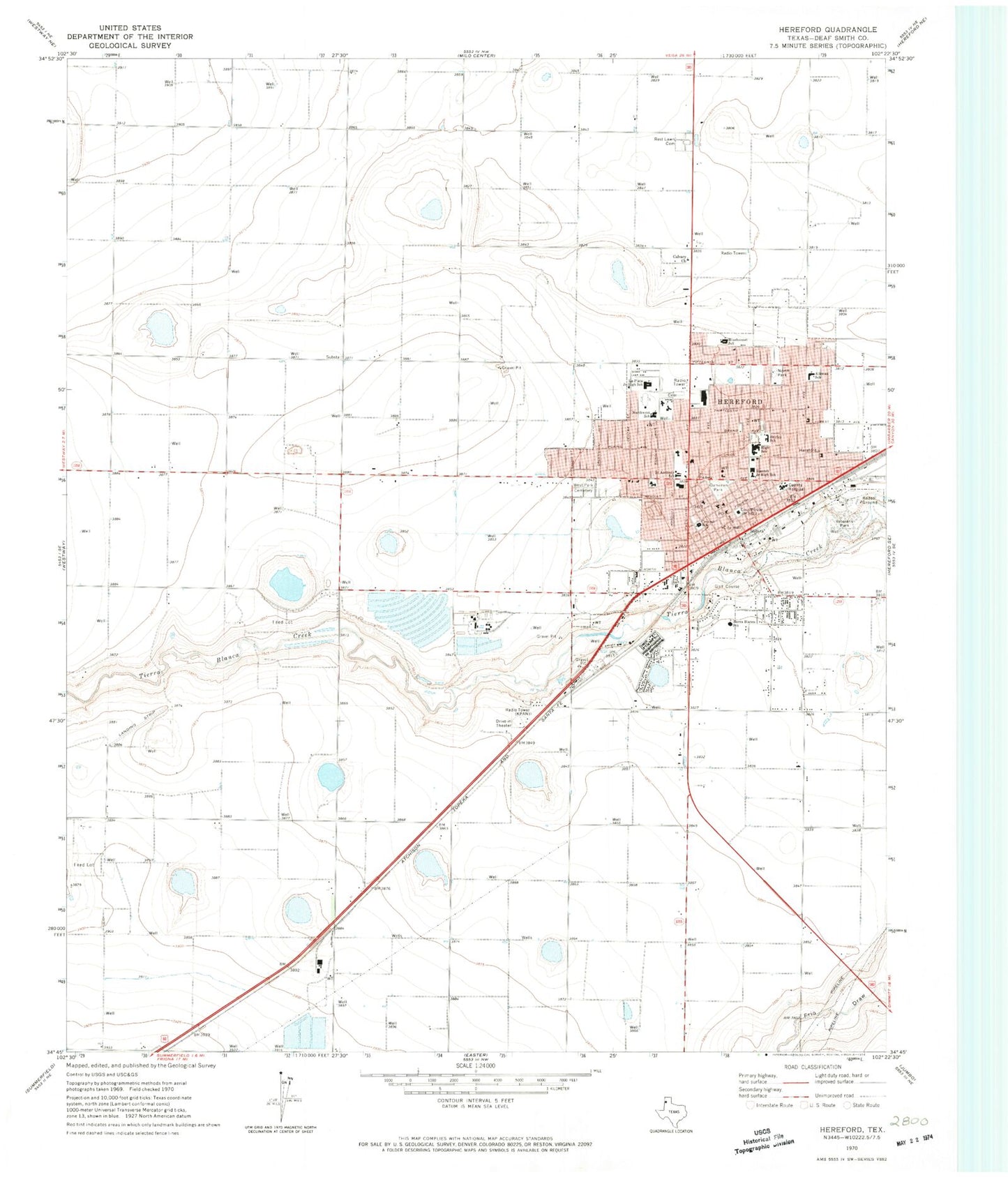
Classic USGS Hereford Texas 7.5'x7.5' Topo Map
Couldn't load pickup availability
Historical USGS topographic quad map of Hereford in the state of Texas. Map scale may vary for some years, but is generally around 1:24,000. Print size is approximately 24" x 27"
This quadrangle is in the following counties: Deaf Smith.
The map contains contour lines, roads, rivers, towns, and lakes. Printed on high-quality waterproof paper with UV fade-resistant inks, and shipped rolled.
Contains the following named places: Aikman Elementary School, Avenue Baptist Church, Bible Baptist Church, Bluebonnet Elementary School, Calvary Church, Central School, Church of Christ Central, Church of God, City of Hereford, Community Church, Dameron Park, Deaf Smith County Courthouse, Deaf Smith County Historical Museum, Deaf Smith County Jail, Deaf Smith County Sheriff's Office, E B Black House, Fellowship of Believers Church, First Assembly of God Church, First Temple Assembly of God Church, Hereford, Hereford City Hall, Hereford Emergency Medical Service, Hereford Fire Department, Hereford High School, Hereford Junior High School, Hereford Police Department, Hereford Post Office, Hereford Regional Medical Center, Jaycee Park, KPAN-AM (Hereford), KPAN-FM (Hereford), La Plata Junior High School, Mount Sinai Baptist Church, North Park, Northwest Elementary School, Parkside Chapel Church, Rest Lawn Cemetery, Saint Anthony Catholic School, Saint Anthonys Cemetery, Saint Thomas Episcopal Church, Seventh Day Adventist Church, Shirley Elementary School, Shirley School, Sonrise Baptist Church, Spanish Church of Christ, Stanton Junior High School, Stanton Learning Center, Temple Baptist Church, Templo New Beginning Assembly of God Church, The National Cowgirl Hall of Fame and Western Heritage Center, Tierra Blanca Elementary School, Trinity Fellowship Church, Veterans Park, Wesley United Methodist Church, West Central Elementary School, West Park Cemetery


