
MyTopo
Classic USGS Herman Point Montana 7.5'x7.5' Topo Map
Regular price
$16.95
Regular price
Sale price
$16.95
Unit price
per
Couldn't load pickup availability
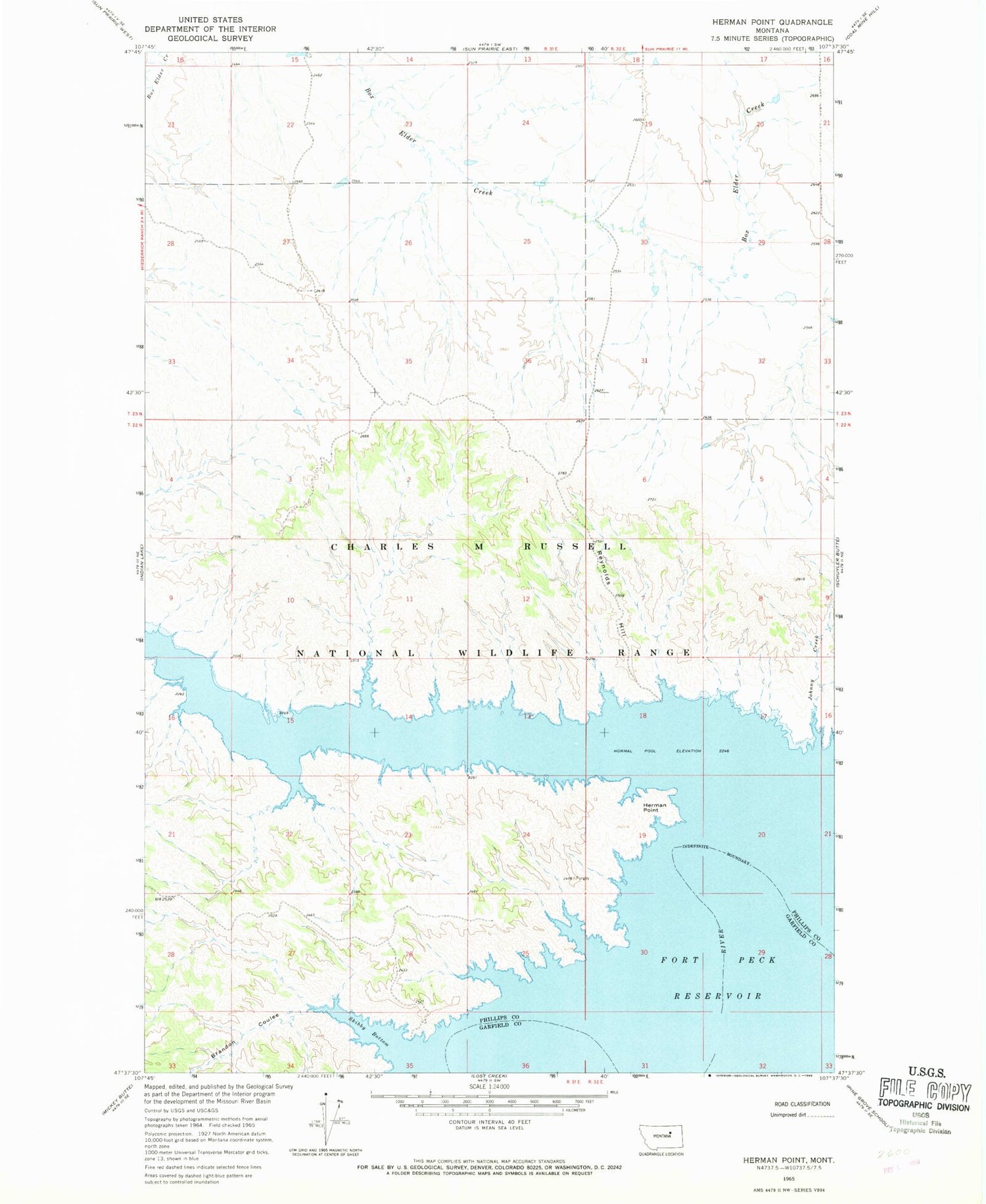
Historical USGS topographic quad map of Herman Point in the state of Montana. Map scale may vary for some years, but is generally around 1:24,000. Print size is approximately 24" x 27"
This quadrangle is in the following counties: Garfield, Phillips.
The map contains contour lines, roads, rivers, towns, and lakes. Printed on high-quality waterproof paper with UV fade-resistant inks, and shipped rolled.
Contains the following named places: Bates Point, Brandon Coulee, Cottonwood Grazing Number 2 Dam, Fort Fourchette, Fourchette Creek Campground, Fourchette Creek Recreation Area, Herman Point, Johnny Creek, Pauchet Post Office, Point au Pauchet, Reynolds Hill, Skibby Bottom


